
LAST MONTH

Depoe Bay, Depoe Creek
Depoe Bay is a community situated on a small natural embayment of the same name, forming the estuary for Depoe Creek, located about 11 miles (18 km) south-southwest of Lincoln City and 12 miles (19 km) north of Newport, Oregon.
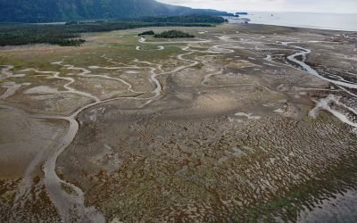
China Poot Bay, Kachemak Bay
China Poot Bay is a lagoon that dries at low tide to expose a tidal flat 2.5 miles (4 km) wide, located on the southeastern shore of Kachemak Bay, 15.5 miles (25 km) northeast of Seldovia and 9.5 miles (15 km) southeast of Homer, Alaska.
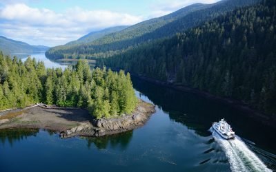
Tuck Narrows, Tuck Inlet
Tuck Narrows is located at the head of Tuck Inlet, about 6 miles (9.7 km) northeast of Prince Rupert, British Columbia.
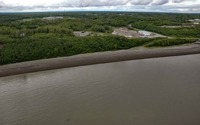
Nikiski Bay, Cook Inlet
Nikiski Bay, formerly known as Nikishka Bay, is a bight in Upper Cook Inlet that extends southwest for 4 miles (6.5 km) from Boulder Point along the southeast shore of Gompertz Channel, 1 mile (1.6 km) north of the community of Nikiski and about 14 miles (22.6 km) north of Kenai, Alaska.
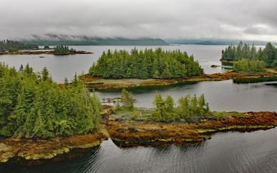
Coco Harbor, Dall Island
Coco Harbor is an estuary that extends west for 3 miles (4.8 km) from Baldy Bay, off Tlevak Strait, on the east coast of Dall Island, Alaska.
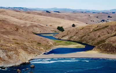
Estero de San Antonio, Bodega Bay
Estero de San Antonio is a small coastal lagoon formed by a sand bar that dams Stemple Creek, a stream that starts in the hills of Marin and Sonoma Counties and flows generally west to Bodega Bay near the mouth of Tomales Bay, 5.75 miles (9 km) southeast of the community of Bodega Bay and 1.5 mi (2.4 km) northwest of Dillon Beach, California.
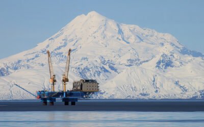
Redoubt Volcano, Drift River
Redoubt Volcano has a summit elevation of 10,197 feet (3,109 m) in the Aleutian Range on the Alaska Peninsula, and is located between the Drift River to the north and Crescent River to the south, about 9 miles (14.5 km) northeast of Crescent Lake and 52 miles (84 km) west of Kenai, Alaska.
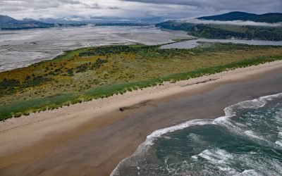
Bayocean, Tillamook Bay
Bayocean was a planned resort community founded in 1906 on a sand spit 4 miles, (6.5 km) long and 0.5 miles (0.8 km) wide, that separates Tillamook Bay from the Pacific Ocean, about 63 miles (102 km) west of Portland and 7 miles (11 km) northwest of Tillamook, Oregon.
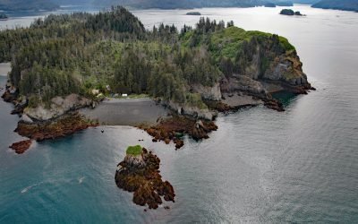
Hesketh Island, Kachemak Bay
Hesketh Island is about 1.2 miles (1.9 km) long, located on the southern shore of Kachemak Bay, 9.5 miles (15 km) south of Homer and 8 miles (13 km) northeast of Seldovia, Alaska.
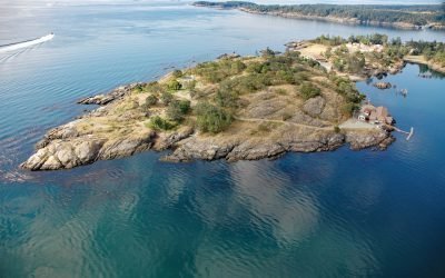
Quarantine Cove, William Head
Quarantine Cove is a bight on the northern shore of William Head, a peninsula near the southern tip of Vancouver Island on the north coast of the Strait of Juan de Fuca, located between Pedder Bay to the south and Parry Bay to the north, approximately 9.7 miles (15.6 km) east-southeast of Sooke and 9.6 miles (15.5 km) southwest of Victoria, British Columbia.
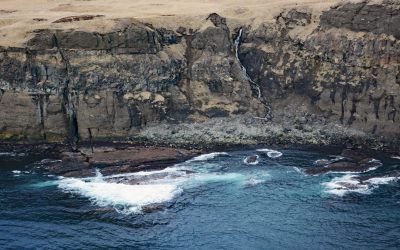
Ugamak Island, Krenitzin Islands
Ugamak Island is approximately 5.2 miles (8.4 km) long and located in the Krenitzen Islands group, about 75 miles (121 km) northeast of Unalaska and 36 miles (58 km) east of Akutan, Alaska.

Pilot Point, Ugashik Bay
Pilot Point is a community on the eastern shore of Ugashik Bay, on the north coast of the Alaska Peninsula, 83 miles (134 km) south-southwest of King Salmon and 7 miles (11 km) northwest of Ugashik, Alaska.