
LAST MONTH
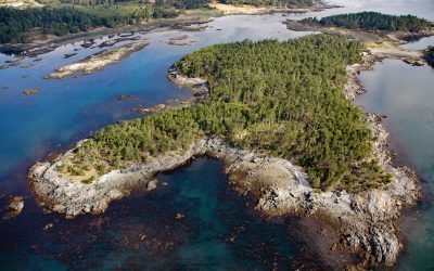
Bentinck Island, Cape Calver
Bentinck Island is situated between Cape Calver and Race Rocks in the Strait of Juan de Fuca, approximately 10 miles (16 km) southeast of Sooke and 11 miles (18 km) southwest of Victoria, British Columbia.
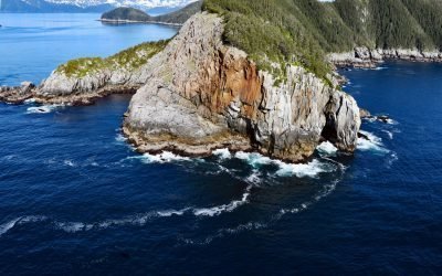
Kitten Pass, Pye Islands
Kitten Pass is a water passage between Rabbit Island and Outer Island, in the Pye Islands group of the Alaska Maritime Wildlife Refuge, about 48 miles (77 km) east-southeast of Seldovia, and 63 miles (102 km) southwest of Seward, Alaska.
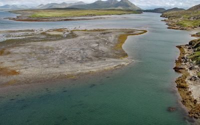
Alitak Lagoon, Tanner Head
Alitak Lagoon lies 1 mile (1.6 km) northeast of Cape Alitak on Tanner Head at the southern end of Kodiak Island, 93 miles (150 km) southwest of the community of Kodiak, Alaska.
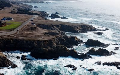
Pomo Bluffs, Noyo Bay
Pomo Bluffs is a park on the ocean bluffs at Todd’s Point overlooking Noyo Bay about 1 mile (1.6 km) south of Fort Bragg in the community of Noyo, California.

Christmas Island, Beecher Pass
Christmas Island, approximately 200 feet (61 m) across, is located between Beecher Pass and Duncan Canal, about 15 miles (24 km) southwest of Petersburg, Alaska.
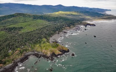
Hubbard Mound, Otter Point
The Hubbard Mound is a coastal headland and the location of a historical beach placer mining prospect near the community of Nesika Beach, 1 mile (1.6 km) north of Otter Point and about 6 miles (9.7 km) north of Gold Beach, Oregon.
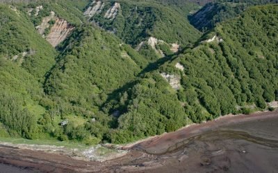
Eastland Creek, Kachemak Bay
Eastland Creek is a stream on the Kenai Peninsula that flows south for 3 miles (5 km) to Kachemak Bay, about 16 miles (26 km) northeast of Homer, Alaska.
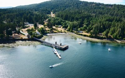
Miners Bay, Mayne Island
Miners Bay is located on Mayne Island, on the southeast side of Active Pass which separates Galiano and Mayne Islands, about 14.5 miles (23 km) north-northeast of Sidney, British Columbia.

Indian Valley, Turnagain Arm
Indian is an Alaska Railroad siding and small community at the entrance to a deep valley on the northern shore of Turnagain Arm, about 21 miles (34 km) northwest of Portage and 21 miles (34 km) southeast of Anchorage, Alaska.
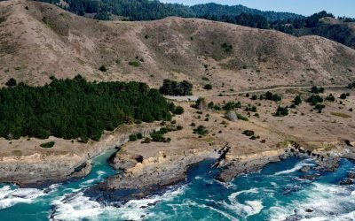
Kibesillah, Mendocino Coast
Kibesillah is the site of a historical lumber-loading chute and for a short time was one of the most important communities on the Mendocino Coast, about 10 miles (16 km) north of Fort Bragg and 3.3 miles (5.3 km) south of Westport, California.

Anchor Glacier, Northwestern Fjord
Anchor Glacier flows east for 3 miles (5 km) to Northwestern Fjord, which is located approximately 52 miles (84 km) east-northeast of Homer and 32 miles (52 km) southwest of Seward, Alaska.
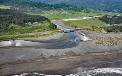
Pistol River, Pistol River State Scenic Viewpoint
Pistol River flows generally southwest for 21 miles (34 km) to the Pistol River State Scenic Viewpoint overlooking the Pacific Ocean near the community of Pistol River, about 17 miles (27 km) north-northwest of Brookings and 10 miles (16 km) south of Gold Beach, Oregon.