
LAST MONTH
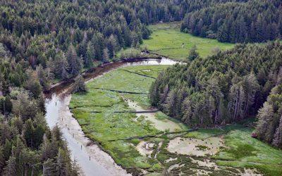
South Slough, Coos Bay
South Slough is a tidal embayment designated as a National Estuarine Research Reserve that extends 6 miles (10 km) south from Coos Bay, which is an estuary of the Coos River, about 13 miles (21 km) north-northeast of Bandon and 4 miles (6.5 km) south of Charleston, Oregon.
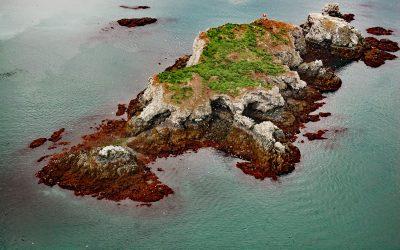
Gull Island, Kachemak Bay
Gull Island is about 633 feet (193 m) long and 93 feet (28 m) high and is situated about 0.6 miles (1 km) northwest of Moosehead Point near the entrance to Peterson Bay on the southeast shore of Kachemak Bay, and about 17 miles (27 km) northeast of Seldovia and 8 miles (13 km) southeast of Homer, Alaska.
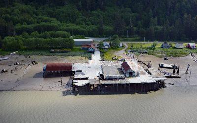
Cassiar Cannery, Skeena River
Cassiar is a historic salmon cannery situated on the northern shoreline of Inverness Passage at the mouth of the Skeena River, about 67 miles (18 km) southwest of Terrace and 11 miles (18 km) southeast of Prince Rupert, British Columbia.
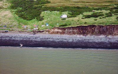
Saint Nicholas Chapel, Ekuk
Saint Nicholas Chapel is a historic Russian Orthodox church situated on a bluff overlooking Ekuk Spit and the summer set-net community of Ekuk, on the eastern shore of Nushagak Bay, about 16 miles (26 km) south-southwest of Dillingham and 2 miles (3.2 km) south-southwest of Clarks Point, Alaska.
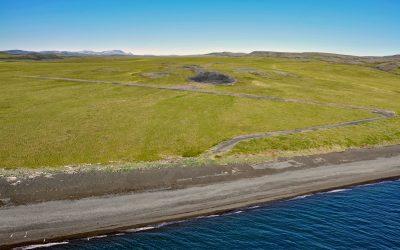
Chariot, Cape Thompson
Cape Thompson is a headland on the Chukchi Sea coast near the site of Project Chariot, about 41 miles (66 km) northwest of Kivalina and about 31 miles (50 km) southeast of Point Hope, Alaska.
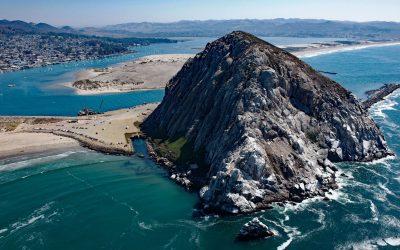
Morro Rock, Morro Bay
Morro Rock is a volcanic plug with an elevation of 576 feet (176 m), connected to the mainland by a causeway that forms the entrance channel to Morro Bay, about 102 miles (164 km) southeast of Monterey and 21 miles (34 km) northwest of Pismo Beach, California.
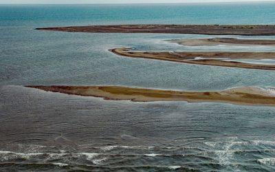
Point Franklin, Peard Bay
Point Franklin is the site of several whaling shipwrecks at the end of a barrier spit that extends 13 miles (21 km) northeast from the Arctic Coastal Plain, and together with the Seahorse Islands, separates Peard Bay from the Chukchi Sea, about 54 miles (87 km) southwest of Utqiaġvik and 33 miles (53 km) northeast of Wainwright, Alaska.
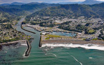
Brookings, Chetco River
Brookings is a community at the mouth of the Chetco River, which flows from the Southern Oregon Coast Range to the Pacific Ocean, about 21 miles (34 km) north-northwest of Crescent City, California and 26 miles (42 km) south-southeast of Gold Beach, Oregon.
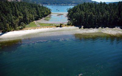
Montague Harbour, Galiano Island
Montague Harbour is a provincial marine park located on Trincomali Channel on the southern coast of Galiano Island, one of the Gulf Islands in the Strait of Georgia, about 32 miles (52 km) north of Victoria and 30 miles (48 km) south-southwest of Vancouver, British Columbia.
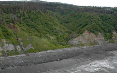
Diamond Creek, Kachemak Bay
Diamond Creek starts at an elevation of about 1,000 feet (305 m) on the southern Kenai Peninsula and drains a watershed of 3,424 acres (1,386 ha) while flowing generally west for about 5 miles (8 km) from Diamond Ridge to the northern shore of Kachemak Bay, about 10 miles (16 km) southeast of Anchor Point and 6 miles (10 km) west-northwest of Homer, Alaska.
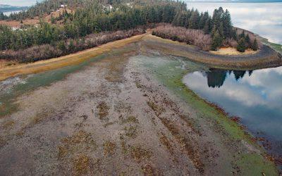
Gilmour Point, Montague Island
Gilmour Point is a headland that forms the northern shore of Port Chalmers on the northwest coast of Montague Island in Prince William Sound, and an area of extensive eelgrass beds, about 62 miles (100 km) southeast of Whittier and 54 miles (87 km) southwest of Cordova, Alaska.
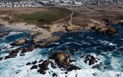
Glass Beach, Noyo Headlands Park
Glass Beach is situated in the northern section of Noyo Headlands Park in the community of Fort Bragg, which is between Pudding Creek to the north and Noyo River to the south, about 95 miles (153 km) south-southeast of Eureka and 10 miles (16 km) north of Mendocino, California.