
LAST MONTH
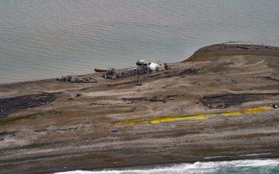
Gordon, Demarcation Point
Gordon is the site of a historical trading post near Demarcation Point, a 2.5 miles (4 km) long barrier spit separating Demarcation Bay to the south from the Beaufort Sea to the north, about 210 miles (338 km) northwest of Inuvik, Northwest Territories and 63 miles (102 km) southeast of Kaktovik, Alaska.
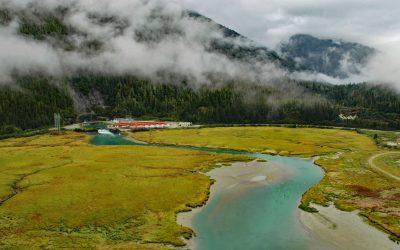
Speel Arm, Port Snettisham
Speel Arm extends generally northeast for 9 miles (14.5 km) from the head of Port Snettisham to the mouth of the Speel River, and is the site of a hydroelectric facility powered by water from Crater Lake and Long Lake, about 95 miles (153 km) northeast of Sitka and 30 miles (48 km) southeast of Juneau, Alaska.
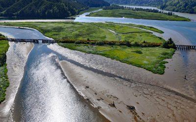
Blacks Island, Smith River
Blacks Island is situated at the confluence of the Smith River and the Umpqua River, on the historic spur line of the Southern Pacific Railroad connecting Eugene with Coos Bay, about 1.7 miles (2.7 km) southeast of Gardiner and 1 mile (1.6 km) northeast of Reedsport, Oregon.
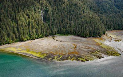
Tutka Bay, Kachemak Bay State Park
Tutka Bay is a deglaciated fjord that extends 8.5 miles (14 km) in Kachemak Bay State Park from Eldred Passage to the mouth of an unnamed river that flows generally west-northwest for 7 miles (11 km) from small remnants of the Southern Glacier, about 18 miles (29 km) southeast of Homer and 15 miles (24 km) east of Seldovia, Alaska.
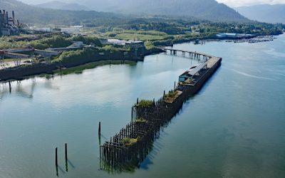
Port Edward, Porpoise Harbour
Port Edward is a community located on the eastern shore of Porpoise Harbour on the Tsimshian Peninsula near the mouth of the Skeena River, about 98 miles (158 km) southeast of Ketchikan and 9 miles (15 km) south of Prince Rupert, British Columbia.
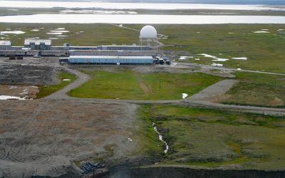
North Warning System, Barter Island
The North Warning System at Barter Island is a long-range radar facility on the Beaufort Sea coast, situated between Arey Lagoon to the west and Kaktovik Lagoon to the east and adjacent to the village of Kaktovik, about 273 miles (440 km) northwest of Inuvik, Northwest Territories, and 112 miles (180 km) east of Deadhorse, Alaska.
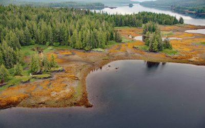
Whale Passage, Prince of Wales Island
Whale Passage is a waterway about 10 miles (16 km) long and the site of a historic logging camp, situated between Thorne Island to the east and Prince of Wales Island to the west, about 40 miles (65 km) southwest of Wrangell and 11 miles (18 km) west-northwest of Coffman Cove, Alaska.
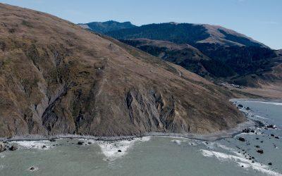
Cape Mendocino, Lost Coast
Cape Mendocino is a major headland on the Lost Coast and the westernmost point in California, situated between Bear River to the north and Mattole River to south, about 210 miles (338 km) northwest of San Francisco, and 28 miles (45 km) southwest of Eureka, California.
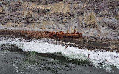
Cape Pankof, Ikatan Peninsula
Cape Pankof is a point of land situated at the eastern tip of the lkatan Peninsula on Unimak Island and the site of the shipwrecked SS Oduna, about 148 miles (239 km) northeast of Dutch Harbor and 18 miles (29 km) southeast of False Pass, Alaska.
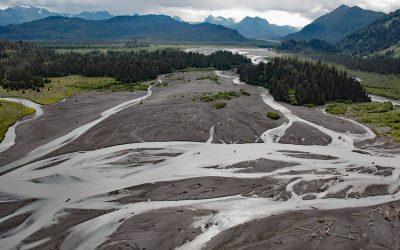
McKeon Flats, Wosnesenski River
McKeon Flats is formed by the Wosnesenski River that flows into Neptune Bay on the south shore of Kachemak Bay on the Kenai Peninsula, about 14 miles (23 km) northeast of Seldovia and 9 miles (14.5 km) southeast of Homer, Alaska.
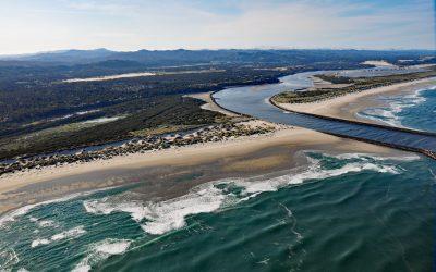
Siuslaw River, Florence
Siuslaw River starts at an elevation of 636 feet (194 m) in the Coast Range and flows generally west-northwest for 110 miles (177 km) to the Pacific Ocean at Florence, draining a watershed of 494,720 acres (200,206 ha), about 53 miles (85 km) west of Eugene and 43 miles (69 km) south of Newport, Oregon.
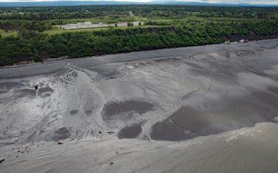
Corea Creek, Clam Gulch
Corea Creek drains a fen at an elevation of 200 feet (60 m) on the Kenai Peninsula and flows generally southwest for 2.4 miles (4 km) to the eastern shore of Cook Inlet and the site of a historic shipwreck, about 37 miles (60 km) north of Homer and 5 miles (8 km) south-southwest of Clam Gulch, Alaska.