
Parks
Recent Articles
More Articles
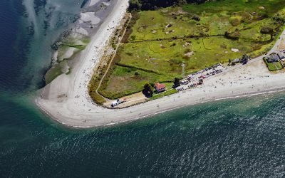
Point No Point, Admiralty Inlet
Point No Point is a sand spit on the northern end of the Kitsap Peninsula, between Norwegian Point to the northwest and Pilot Point to the southeast, near the southern end of Admiralty Inlet that connects the Salish Sea with Puget Sound, about 8 miles (13 km) north of Kingston and 1.3 miles (2.1 km) southeast of Hansville, Washington.
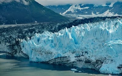
Valerie Glacier, Disenchantment Bay
Valerie Glacier is formed by several tributary glaciers that flow from the south flank of Mount Vancouver in the Saint Elias Mountains of the Icefield Ranges, and the merged ice streams flow generally southeast for about 14 miles (22.5 km) to laterally join with the Hubbard Glacier and terminate in Disenchantment Bay, about 154 miles (248 km) northwest of Haines and about 33 miles (53 km) north-northeast of Yakutat, Alaska.
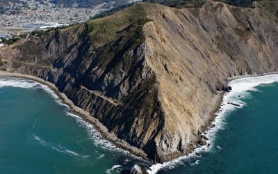
Point San Pedro, Pacifica
Point San Pedro forms the northwestern extent of Pedro Point Headland on San Pedro Mountain which reaches an elevation of about 624 feet (190 m) and has steep cliffs on both the northern and southern flanks, and forms the southern slope of the San Pedro Creek watershed, about 3.6 miles (5.8 km) north of Montara and the southern municipal boundary of Pacifica, California.
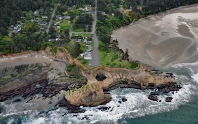
Devils Punchbowl, Otter Rock
Devils Punchbowl is a collapsed sea cave or littoral sinkhole located on a headland in Devils Punchbowl State Natural Area at the community of Otter Rock, about 8 miles (13 km) north of Newport and 5 miles (8 km) south of Depoe Bay, Oregon.
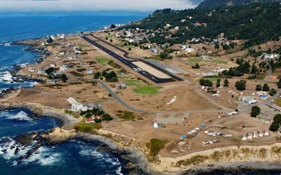
Shelter Cove, Point Delgada
Shelter Cove is an isolated community on Point Delgada on the Lost Coast between Deadman Gulch to the south and Telegraph Creek to the north, about 54 miles (87 km) south of Eureka and 43 miles (69 km) north-northwest of Fort Bragg, California.
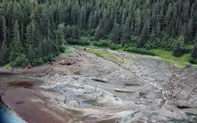
Dundas Bay, Glacier Bay National Park and Preserve
Dundas Bay is located on the north shore of Icy Strait in Glacier Bay National Park and Preserve, about 24 miles (39 km) west of Gustavus and 11 miles (18 km) north of Elfin Cove, Alaska.
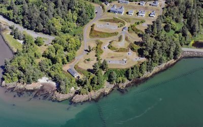
Fort Columbia, Chinook Point
Fort Columbia, a historic military facility situated on Chinook Point, defended the entrance to the Columbia River from 1896 to 1947 and is now a state park, about 7 miles (11 km) southeast of Ilwaco and 6 miles (10 km) northwest of Astoria, Oregon.
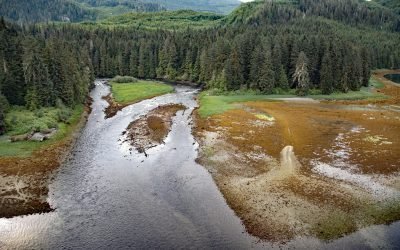
Crab River, Devastation Channel
Crab River flows into Devastation Channel near the entrance to Alan Reach of Gardner Canal, about 81 miles (130km) southeast of Prince Rupert and 28 miles (45km) south-southwest of Kitamaat, British Columbia.
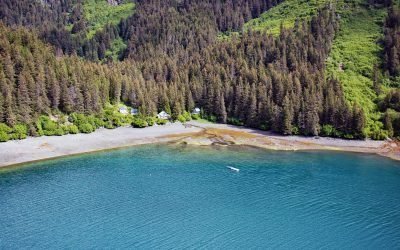
San Juan Cove, Tutka Bay
San Juan Cove is a small embayment on the north shore of Tutka Bay, a deglaciated fjord on the southern shore of Kachemak Bay in the Kenai Mountains in Kachemak Bay State Park, about 13 miles (21 km) south-southeast of Homer and 11 miles (18 km) east-northeast of Seldovia, Alaska.
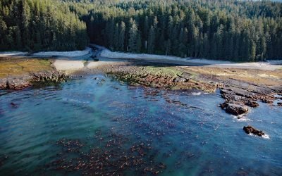
SS Uzbekistan, Darling River
The wreck of the SS Uzbekistan is situated at the mouth of the Darling River, which flows south for 6 miles (10 km) through the heavily logged interior forests of southwestern Vancouver Island, about 31 miles (50 km) northwest of Port Renfrew and 9 miles (15 km) south-southeast of Bamfield, British Columbia.
About the background graphic
This ‘warming stripe’ graphic is a visual representation of the change in global temperature from 1850 (top) to 2019 (bottom). Each stripe represents the average global temperature for one year. The average temperature from 1971-2000 is set as the boundary between blue and red. The colour scale goes from -0.7°C to +0.7°C. The data are from the UK Met Office HadCRUT4.6 dataset.
Click here for more information about the #warmingstripes.