
Parks
Recent Articles
More Articles
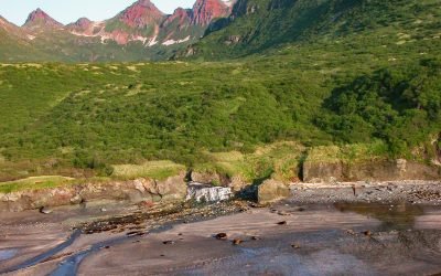
Kaflia Bay, Katmai National Park and Preserve
Kaflia Bay is a funnel-shaped embayment that extends west for 4 miles (6.5 km) from the coast of Shelikof Strait between Cape Ugyak to the north and Cape Gull to the south in Katmai National Park and Preserve, about 93 miles (150 km) southeast of King Salmon and 75 miles (121 km) northwest of Kodiak, Alaska.
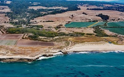
Wilder Ranch State Park, Natural Bridges State Marine Reserve
Wilder Ranch is a California State Park bordered by the Natural Bridges State Marine Reserve, located about 59 miles (95 km) south-southeast of San Francisco and 3 miles (5 km) southwest of Santa Cruz, California.
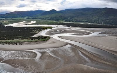
Whalen Island, Sand Lake
Whalen Island is located in Sand Lake which is the estuary of Sand Creek that starts at an elevation of 770 feet (235 m) in the Oregon Coast Range and flows generally south-southwest for 8 miles (13 km) to the Pacific Ocean draining a watershed of 10,880 acres (4,403 ha), about 13 miles (21 km) south-southwest of Tillamook and 5 miles (8 km) north of Pacific City, Oregon.
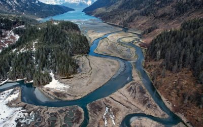
Jack Bay, Valdez Arm
Jack Bay is an estuary surrounded by the Chugach Mountains that extends southeast for 6 miles (10 km) from Valdez Arm in Prince William Sound, about 70 miles (113 km) northeast of Whittier and 12 miles (19 km) southwest of Valdez, Alaska.
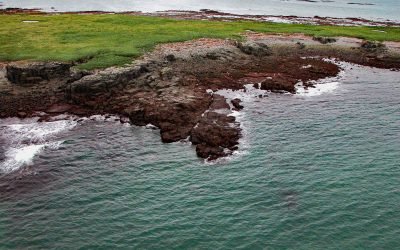
Shaw Island, Cook Inlet
Shaw Island is located in Katmai National Park and Preserve, 2.5 miles (4 km) north of the Alaska Peninsula near the entrance to Kamishak Bay on the western shore of Cook Inlet, about 119 miles (192 km) east-northeast of King Salmon and 79 miles (127 km) southwest of Homer, Alaska.
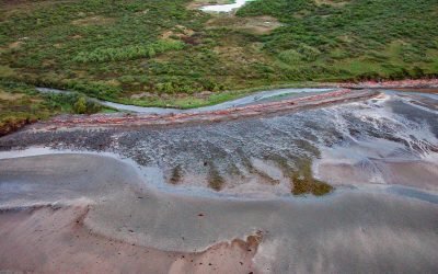
Kashvik Bay, Cape Kubugakli
Cape Kubugakli is a prominent headland on Shelikof Strait that forms the southwest coast of Kashvik Bay and marks the southern coastal boundary of Katmai National Park and Preserve, about 98 miles (158 km) west-northwest of Kodiak and 75 miles (121 km) southeast of King Salmon, Alaska.
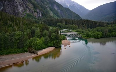
Exchamsiks River Provincial Park, Skeena River
Exchamsiks River Provincial Park is in the Coast Mountains at the mouth of the Exchamsiks River on the north side of the Skeena River, about 42 miles (68 km) east of Prince Rupert and 31 miles (50 km) southwest of Terrace, British Columbia.

Sealing Point, Cape Krusenstern
A sealing observation tower used seasonally by Iñupiat hunters is at the tip of Cape Krusenstern, about 48 miles (77 km) southeast of Kivalina and 35 miles (56 km) northwest of Kotzebue, Alaska.

New Dungeness Light Station, Dungeness Spit
New Dungeness Light Station is located on Dungeness Spit in Dungeness National Wildlife Refuge on the southern coast of the Strait of Juan de Fuca, about 17 miles (27 km) west-northwest of Port Townsend and 7 miles (11 km) north of Sequim, Washington.
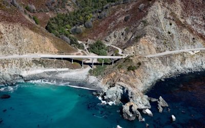
Limekiln State Park, Rockland Landing
Limekiln State Park is 716 acres (290 ha) on the Big Sur coast at Rockland Landing, about 31 miles (50 km) northwest of San Simeon and 2 miles (3.2 km) south of Lucia, California.
About the background graphic
This ‘warming stripe’ graphic is a visual representation of the change in global temperature from 1850 (top) to 2019 (bottom). Each stripe represents the average global temperature for one year. The average temperature from 1971-2000 is set as the boundary between blue and red. The colour scale goes from -0.7°C to +0.7°C. The data are from the UK Met Office HadCRUT4.6 dataset.
Click here for more information about the #warmingstripes.