
Rivers
Recent Articles
More Articles

Will Rogers-Wiley Post Memorial, Walakpa Bay
Will Rogers-Wiley Post Memorial is at Walakpa Bay, a coastal inlet that extends 6 miles (10 km) east from the Chukchi Sea and is fed by a watershed of 56,487 acres (22,860 ha), about 76 miles (123 km) northeast of Wainwright and 11 miles (18 km) southwest of Utqiaġvik, Alaska.

Marys Slough, Unalakleet River
Marys Slough is a side channel about 5 miles (8 km) long at the mouth of the Unalakleet River formed by a barrier spit on Norton Sound that creates an extensive tidal wetland, about 46 miles (74 km) northeast of Saint Michael and 1.1 miles (1.8 km) south-southeast of Unalakleet, Alaska.
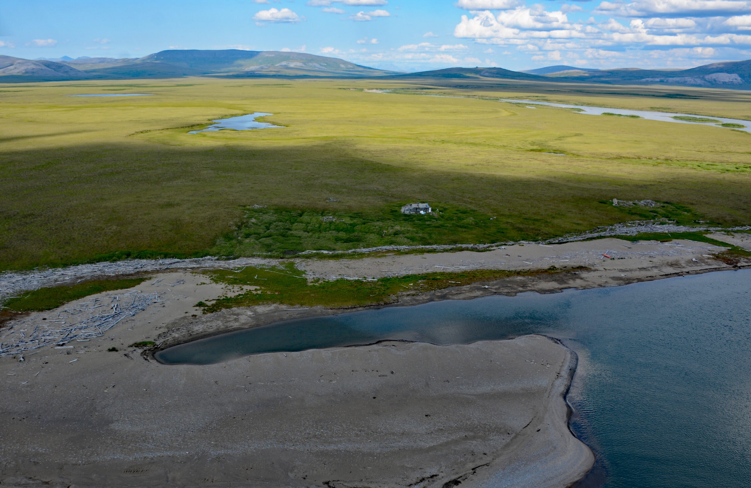
Sinuk River, Cape Rodney
Sinuk River starts from a series of deglaciated cirques at an elevation of 1,890 feet (576 m) on the west flank of Tigaraha Mountain on the Seward Peninsula, and flows generally southwest for 44 miles (71 km), draining a watershed of 190,572 acres (77,122 ha), to the Bering Sea near Cape Rodney and the site of a historic village, about 47 miles (76 km) south of Teller and 26 miles (42 km) west-northwest of Nome, Alaska.

Goodnews Bay Village, Goodnews Bay
Goodnews Bay is a Central Yup’ik village at the mouth of the Goodnews River where it enters Goodnews Bay, about 117 miles (189 km) south of Bethel and 12 miles (19 km) northeast of Platinum, Alaska.

Cape Disappointment, Columbia River
Cape Disappointment is a prominent headland and navigational landmark with a historic lighthouse on the north side of the Columbia River, 12 miles (19 km) northwest of Astoria, and 2.2 miles (3.5 km) south of Ilwaco, Washington.

The Hulks, Powell River
The Hulks is a floating breakwater consisting of ship hulls anchored off the mouth of Powell River originally to protect a log pond for a pulp and paper mill, about 28 miles (45 km) southeast of Campbell River and 2 miles (3.2 km) north-northwest of the community of Powell River, British Columbia.

Sudden Stream, Malaspina Coastal Plain
Sudden Stream drains the Malaspina Coastal Plain, flowing generally south for 2 miles (3.2 km) from the outlet of Malaspina Lake, a proglacial lake at the terminus of the Malaspina Glacier, to a lagoon formed by a barrier spit called Schooner Beach on Yakutat Bay, about 207 miles (333 km) east-southeast of Cordova and 18 miles (29 km) northwest of Yakutat, Alaska.

Malibu Lagoon, Santa Monica Bay
Malibu Lagoon is an estuary formed by a spit on the north shore of Santa Monica Bay that partially encloses the mouth of Malibu Creek, about 26 miles (42 km) west of downtown Los Angeles and in the community of Malibu, California.

Kasegaluk Lagoon, Point Lay
Point Lay is a delta of the Kokolik River that flows into Kasegaluk Lagoon, a massive embayment separated from the Chukchi Sea by a series of unnamed barrier islands, about 143 miles (231 km) northeast of Point Hope and 96 miles (155 km) southwest of Wainwright, Alaska.

Tahsis, Tahsis Inlet
Tahsis is a community on the west coast of Vancouver Island at the head of Tahsis Inlet which is the northern arm of Nootka Sound, about 50 miles (80 km) south-southeast of Port McNeill and 30 miles (48 km) west-northwest of Gold River, British Columbia.
About the background graphic
This ‘warming stripe’ graphic is a visual representation of the change in global temperature from 1850 (top) to 2019 (bottom). Each stripe represents the average global temperature for one year. The average temperature from 1971-2000 is set as the boundary between blue and red. The colour scale goes from -0.7°C to +0.7°C. The data are from the UK Met Office HadCRUT4.6 dataset.
Click here for more information about the #warmingstripes.