
THIS MONTH
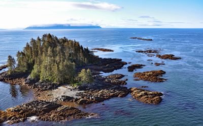
Fairway Island, Affleck Canal
Fairway Island Fairway Island is on the southeastern coast of Kuiu Island, in Sumner Strait, at the entrance to Affleck Canal, about 86 miles (139 km) southeast of Sitka and 71 miles (115 km) southwest of Wrangell, Alaska.
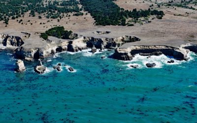
Sea Lion Cove, Point Arena
Sea Lion Cove is on the Mendocino coast just south of Point Arena, about 16 miles (26 km) northwest of Gualala and 3 miles (4.8 km) southwest of Manchester, California.
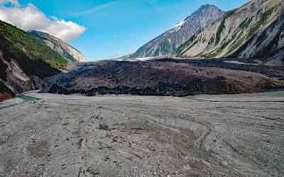
Lituya Glacier, Gilbert Inlet
Lituya Glacier starts on the south flank of Mount Wilbur in the Fairweather Range and flows west for 8 miles (13 km) to the Desolation Valley, and then turns southeast and flows for 2.6 miles (4 km) to Gilbert Inlet, about 100 miles southeast of Yakutat and 68 miles (110 km) northwest of Gustavus, Alaska.
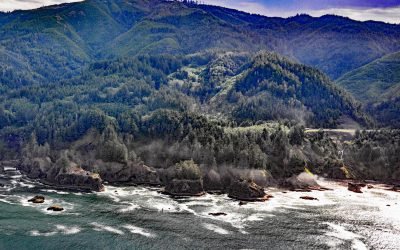
Natural Bridges Cove, Oregon Coast Trail
Natural Bridges Cove is an ancient punchbowl, or littoral sinkhole, along the Oregon Coast Trail in Samuel H. Boardman State Park, about 10.5 miles (17 km) northwest of Brookings and 6.5 miles (10.5 km) south-southeast of Pistol River, Oregon.
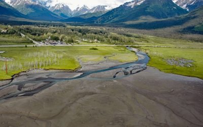
Glacier Creek, Girdwood
Glacier Creek starts from an unnamed glacier on the south flank of Goat Mountain in the Chugach Mountains and flows southwest for 10 miles (16 km) to Turnagain Arm near Girdwood, about 31 miles (50 km) southeast of Anchorage and 20 miles (32 km) northwest of Whittier, Alaska.
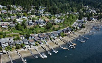
Pleasantside, Port Moody
Pleasantside is a residential neighbourhood located on the northern shore of Port Moody, which is the eastern extension of Burrard Inlet, about 12 miles (19 km) east of Vancouver and 1.5 miles (2.4 km) northwest of the community of Port Moody, British Columbia.