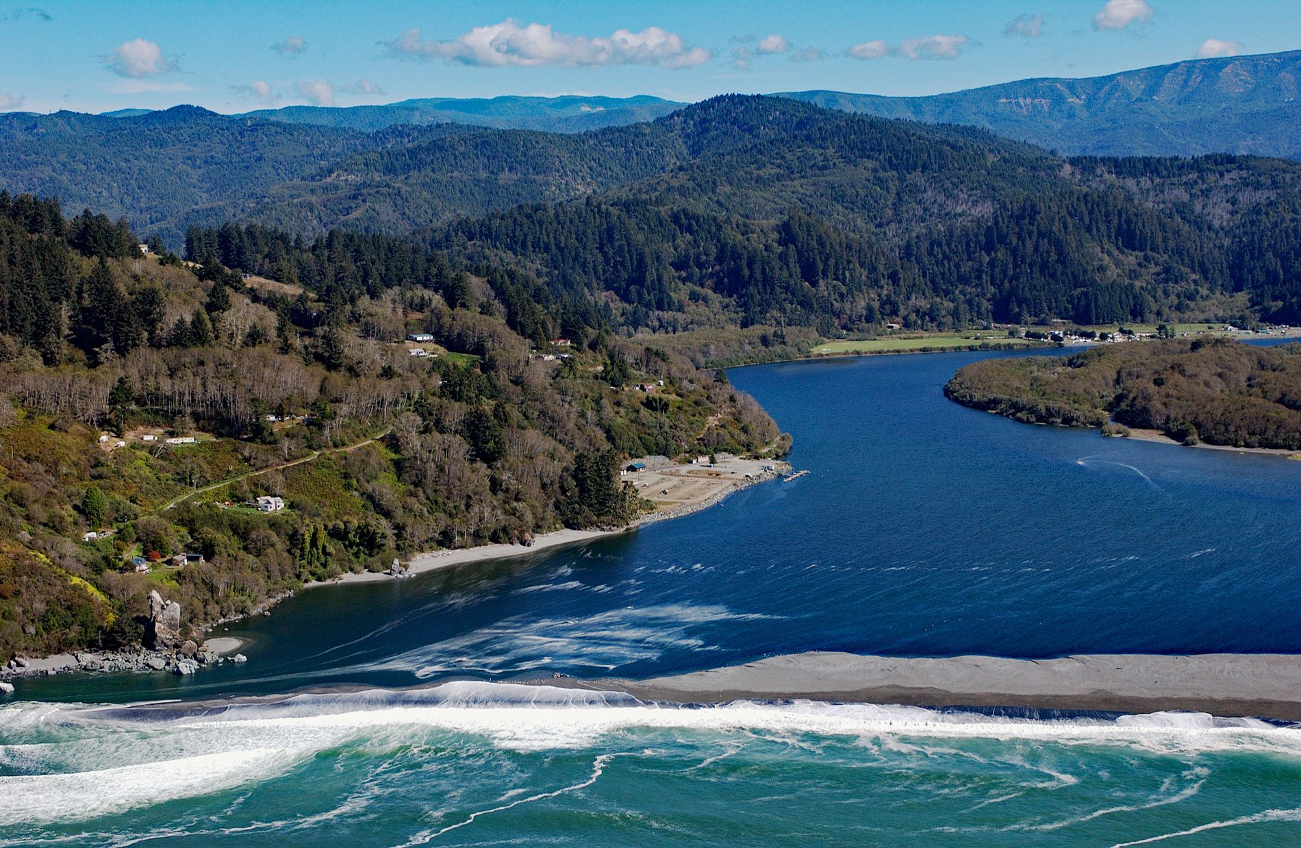
Klamath River flows for 257 miles (415 km) from a broad patchwork of lakes and marshes at the edge of the Oregon high desert, through the Cascade Range and the Klamath Mountains, and enters the Pacific Ocean at the community of Requa, about 52 miles (84 km) north of Eureka and 16 miles (26 km) south-southeast of Crescent City, California. Prospectors were the first to arrive here in the mid 1800s and used the river to access the coastal mountains and the interior deserts. They were followed by more Euro-Americans that settled near a pre-colonial Native American village called Rekwoi located about 1 mile (1.6 km) upstream from today’s community. Requa is a Yurok language word meaning ‘mouth of the creek’.
The Klamath is the most important North American river south of the Columbia River for anadromous fish. Salmon, steelhead, and rainbow trout have adapted to unusually high water temperatures and acidity levels relative to other rivers in the Pacific Northwest. The abundance of fish was a major source of food for Native Americans who have inhabited the basin for at least 7,000 years. There are at least 40 prehistoric sites in the river canyon. The river has been home to the Yurok, Karuk, Hupa, Shasta, and Klamath tribes. The river mouth became an attractive location for an early commercial salmon fishery and was the location of several canneries including the Klamath Packing & Trading Company which started in 1881.
The Klamath River historically had the third-largest salmon run in the continental United States, but now has only a fraction of the original fish population. The dams built on the Klamath River have been identified as one cause of the drop in salmon numbers. Eight dams were built between the early 1900s and 1962 to produce hydroelectric power, and four of these will soon be removed. An agreement was signed between the dam operator PacifiCorp, the Yurok people, and other stakeholders to facilitate the removals. In 2022, the Federal Energy Regulatory Commission approved a plan for the demolition of four aging dams which may be completed by 2024. Read more here and here. Explore more of the Klamath River and Requa here:

