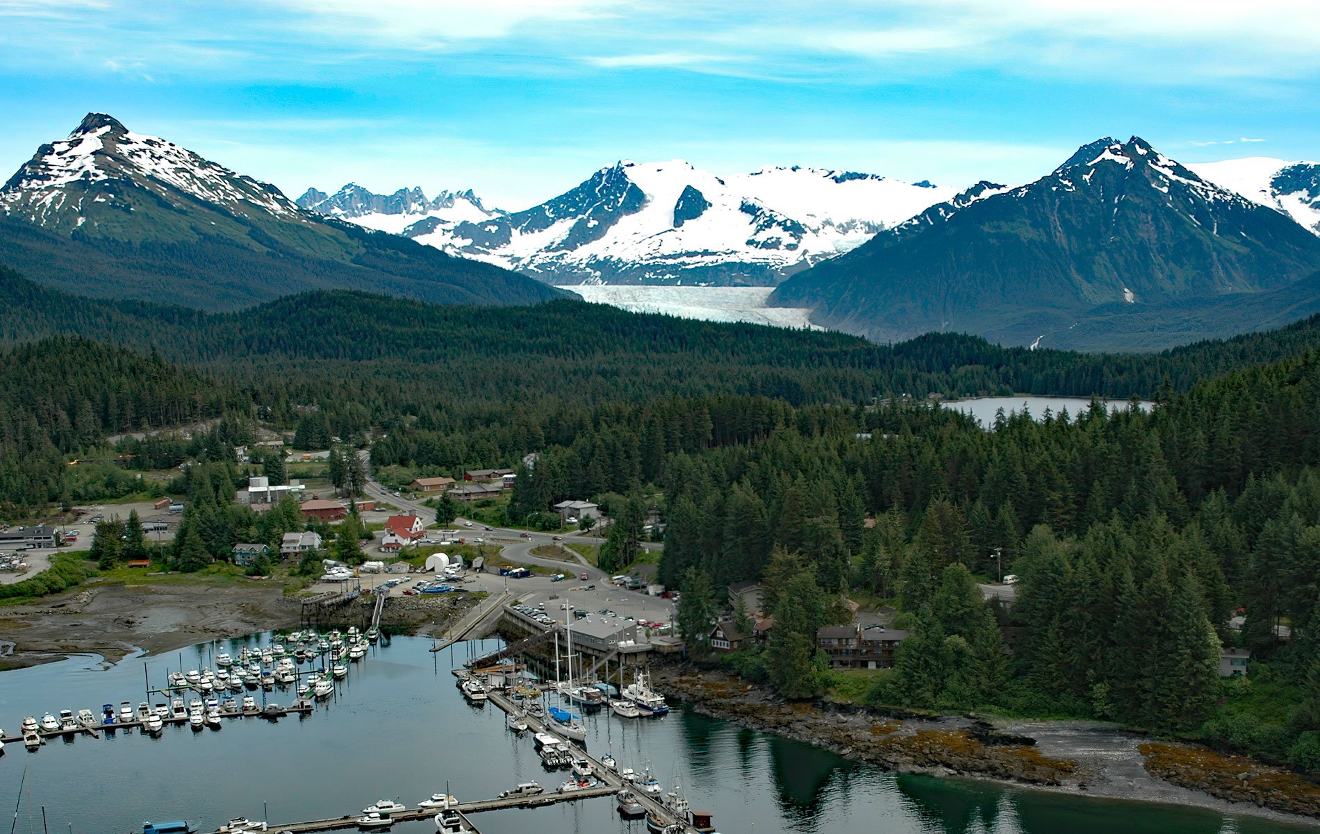
Mendenhall Glacier starts from an ice divide in the Juneau Icefield at an elevation of 4,300 feet (1,311 m) and flows generally southwest for 15 miles (24 km) to a proglacial lake between McGinnis Mountain to the west and Bullard Mountain to the east, about 11 miles (18 km) north-northwest of Juneau and 5 miles (8 km) northeast of Auke Bay, Alaska. John Muir named the ice stream Auke Glacier in 1879, and this name was used by the early miners until 1892 when the U.S. Coast and Geodetic Survey renamed the glacier for Thomas C. Mendenhall. The Juneau Icefield is an area of 960,000 acres (388,500 ha) in the Boundary Ranges of the Coast Mountains and the source of many glaciers that descend to British Columbia and Alaska. Much of Southeast Alaska represents rocks of the Insular Superterrane, formed from repeated accretion of multiple terranes that originated elsewhere and are not related to the rest of the North American continent. These terranes consist of a series of volcanics, intrusions and sedimentary rocks. The bedrock exposed at the source of Mendenhall Glacier are mostly intrusions of tonalite from the Paleocene and Cretaceous. The terminus of the glacier overlies sedimentary rocks from the Cretaceous to Permian consisting of shale, mudstone, and greywacke.
The coastal fringe around the terminus of the Mendenhall Glacier is the traditional territory of the Tlingit Auk Kwaan, and specifically the L’eineidi, or Dog Salmon, clan, which extended from Point Bishop in the south, to Berners Bay in the north. Human habitation of the northern regions of Southeast Alaska has been dated to at least 9,500 years ago. About 5,000 ago, the archaeological record indicates a shift in stone tools from micro-blades to the use of slate. At about the same time, social organization transitioned from small dispersed camps to larger permanent winter villages and smaller seasonal camps. This was likely a response to environmental change cause by the post-glacial stabilization of streams, which led to the development of more productive salmon habitat. Pacific Northwest indigenous peoples took advantage of the increased abundance, and especially the predictability of salmon, with technological adaptation and, as a consequence, developed food security through stream ownership that allowed for larger families, greater population densities, and more complex forms of socio-economic organization. For most of the clan history, the Auk Kwaan consisted of two property owning house groups, the L’eineidi clan with the Raven moiety, and the Wooshkeetaan, or Shark, clan with the Eagle moiety. In more recent times, other clans have settled in the area through intermarriage and clan consolidations.
The Juneau Icefield Research Program has been monitoring glaciers of the Juneau Icefield since 1948, when Maynard M. Miller led a small group of explorers on a reconnaissance mission to investigate the potential for climate research and the feasibility of establishing a long-term glaciological research program. The first 10 years were funded by a grant from the Office of Naval Research to the American Geographical Society of New York. In 1955, the nonprofit Foundation for Glacier and Environmental Research was established to support the program, which is now the longest ongoing program of its kind in North America. Each summer, undergraduate students travel to Juneau and receive an extensive, on-site synthesis of Alaska’s coastal geology, glaciology, climatology, geomorphology, ecology, meteorology, hydrology, geophysics, and other landscape information. They are trained in the acquisition of discipline-specific data from nunatak base camps located on bedrock ridge tops across the glaciated US-Canada border. Students are required to develop a research experiment and the data collection and analysis methods to address it. Since the inception of the program, supervising faculty have incorporated the data and analytical results into their own research programs, inspiring generations of earth system science students. Read more here and here. Explore more of Mendenhall Glacier and Juneau Icefield Research Program here:

