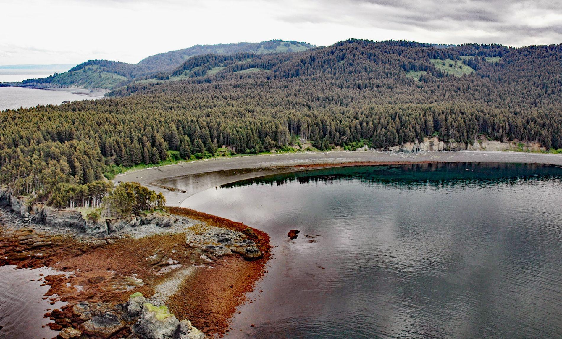
Coal Cove is the site of a historic Russian coal mine at Dangerous Cape on the north shore entrance to Port Graham near the southern end of the Kenai Peninsula, about 7 miles (11 km) southwest of Seldovia and 3 miles (5 km) north-northeast of Nanwalek, Alaska. The embayment was named in 1786 by Captain Nathaniel Portlock, a British fur trader who discovered the coal seam. Port Graham is a deglaciated fjord that extends about 7 miles (11 km) southeast from Lower Cook Inlet near the entrance to Kachemak Bay. The fjord was named ‘Grahams Harbour’ by Portlock, and subsequently ‘English Bay’, presumably for the British visitations, by men of the Shelikhov-Golikov Company who established a post called Aleksandrovsk in 1786 just south of Dena’ina territory at present-day Nanwalek. The coal seam represents rocks of the Tyonek Formation that is part of a geologic unit called the Kenai Group that is at least 26,000 feet (8,000 m) thick in the subsurface of Cook Inlet Basin. The Tyonek Formation consists of estuarine and nonmarine sedimentary rocks that developed during the early Eocene, or 49 million years ago, and is characterized by massive sandstone beds and seams of lignite to sub-bituminous coal and as much as 30 feet (9 m) thick.
From the late 18th century until the end of the 19th century, the Dena’ina were the dominant culture in the Cook Inlet watershed despite a century of Russian presence. The Dena’ina were able to maintain cultural sovereignty and resist Russian incursions through a series of battles and skirmishes between 1786 and 1797 at Aleksandrovsk and Kenai.
The Dena’ina success in these encounters contributed to the withdrawal of the Lebedev Company from Cook Inlet, leaving only a small contingent of Shelikhov-Golikov Company personnel from 1798 to 1799, and then by its successor the Russian-American Company from 1799 to 1867 when the territory was sold to the United States. Initially, the Dena’ina forcibly resisted Russian incursions into their territory but eventually, many villages entered trade alliances to obtain items made of European manufacture in exchange for sea otter and other furs. In 1852, the Russian-American Company developed a coal mine at the location discovered by Portlock and was actively engaged in production for 12 years until the Alaska Purchase.
Two coal outcrops occur at Coal Cove, one on the beach in the intertidal zone, and the other near the high tide mark at the west end of the beach. In 1855, the bark Cyane commanded by Captain Kinzie arrived at Coal Cove from San Francisco and landed machinery and the Finnish mining engineer Enoch H. Furuhjelm. Open-pit mining began while the men lived in tents. Manual pumps were used to keep the workings accessible. The coal was found beginning with an upper layer 9 to 12 feet (3-4 m) thick at a depth of 50 to 60 feet (15-18 m). The initial open pit work was soon replaced with vertical shafts. The shaft was eventually 180 feet (55 m) long and passed through 5 coal seams. In 1859, the mining camp included a church, 20 dwellings, a large warehouse, two stables, an engine lathe, a sawmill, a blacksmith’s shop, the mine superstructure, a kitchen, a small foundry, and some sheds. Some accounts claim Russian convicts worked the mine, while others say Alaska Natives provided the labor. The company used the coal primarily to fuel Russian steamships, and thousands of tons of coal were mined, but it was of low grade and sold at a loss. After the Alaska Purchase in 1867, the lignite was used locally and for steamships until the early 1920s. In 1978, the site was listed on the National Register of Historic Places, and at that time it was overgrown, with remnants of building foundations, a stone dock, a railway, and other artifacts still discernible. Read more here and here. Explore more of Coal Cove and Port Graham here:

