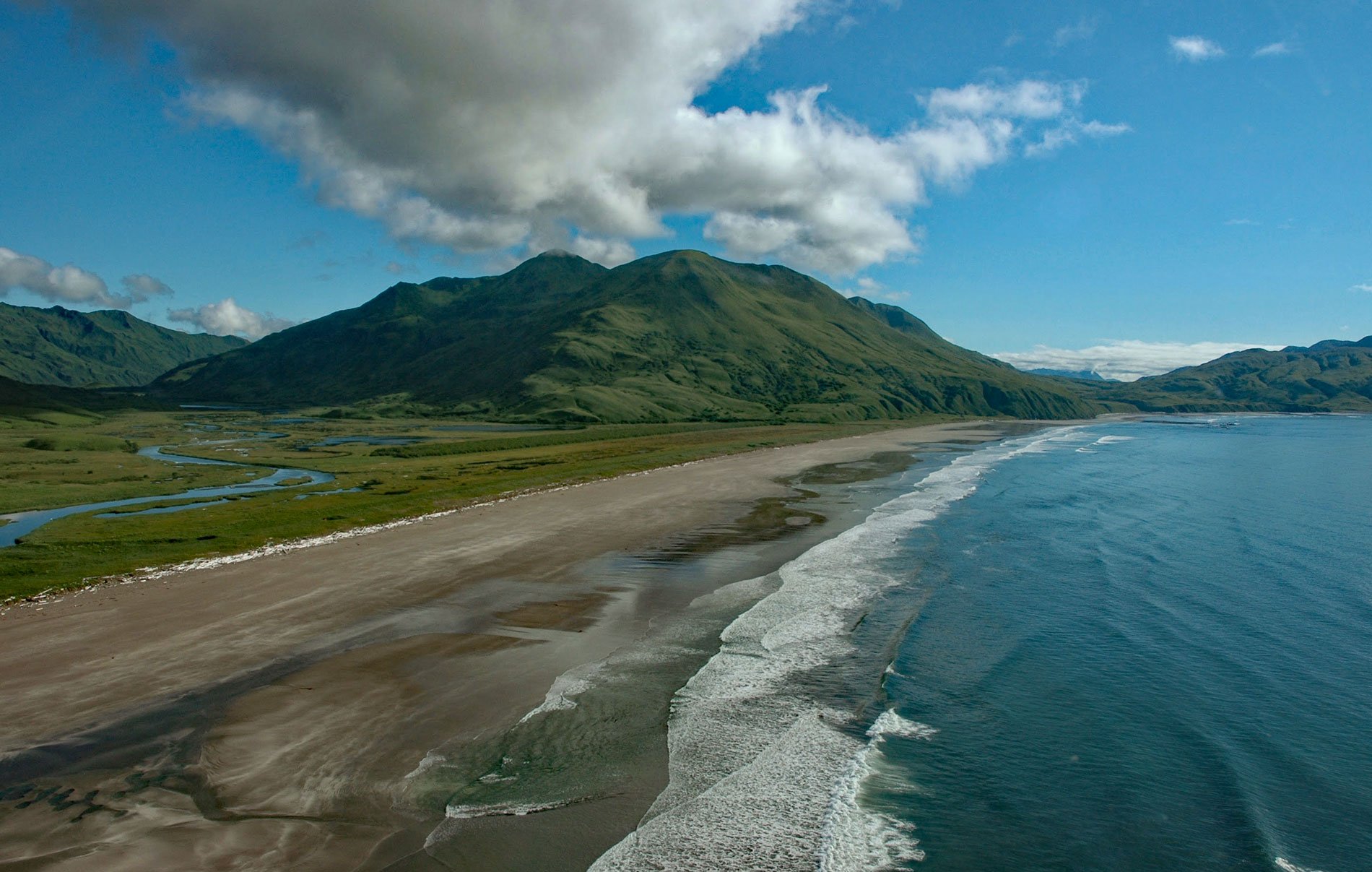
Ocean Bay is on the southeast shore of Sitkalidak Island in the Kodiak Archipelago, about 56 miles (90 km) southwest of Kodiak and 9 miles (15 km) southeast of the village of Old Harbor, Alaska. The Kodiak Archipelago is in the western Gulf of Alaska and has about 32 islands spread over a length of about 177 miles (285 km) from the Barren Islands on the north to Chirikof Island and the Semidi Islands group on the south. Sitkalidak Island lies just off the southeast shore of Kodiak Island, separated from Kodiak by Sitkalidak Passage, a strait that narrows to 0.2 miles (321 m) at the village of Old Harbor. The island has a land area of 76,800 acres (31,080 ha) and currently has no resident population; however, the island supported a historical population. The north end of Ocean Bay is about 2 miles (3 km) west of Refuge Rock. In 1784, the Awa’uq Massacre occurred at Refuge Rock when the Russian fur trader Grigory Shelikhov and a company of armed men killed hundreds of the local Koniag Alutiiq for the sole purpose of subjugating a workforce.
The beach at the head of Ocean Bay is about 4 miles (6 km) long and is backed by a succession of ancient beach ridges. An ancient portage trail follows a salmon stream through a low mountain pass and connects Ocean Bay with McCord Bay in Port Hobron. The trail cuts through the beach ridges, and this is where archeological evidence was first found for an ancient people that arrived in the Kodiak Archipelago at least 7,500 years ago. This prehistoric population left large accumulations of cultural debris that have resisted decay including stone tools, shells, bones, antlers, and ivory objects. This rich archaeological record chronicles the continuous human occupation and the adaptation of people to the regional environment. Archaeologists believe the Ocean Bay people came from Southwest Alaska and were well adapted to life along the coast. Like their descendants, they used barbed harpoons, chipped stone points, and ground slate lances to hunt sea mammals, delicate bone hooks to jig for cod and halibut, and large bone picks to dig for clams. They probably lived in skin-covered single-roomed barabaras.
On 27 December 2012, the icebreaking anchor handling tug Aiviq was towing the ice-class mobile offshore drilling rig Kulluk to Seattle when off the coast of Sitkaladk Island the towing line between the icebreaker and the drilling rig parted due to a mechanical failure of the towing shackle. Shortly after the tow had been regained, the main engines of Aiviq failed and the vessel lost propulsion power in seas of 20 feet (6 m). U.S. Coast Guard Cutter Alex Haley was dispatched to the scene to monitor the situation while vessels Guardsman and Nanuq were also en route to assist with the tow. On 30 December, the tow lines of Aiviq and Nanuq parted again, and Kulluk began drifting towards the coast. The ocean tug Alert arrived on the scene from Prince William Sound and shortly after midnight, Alert was able to reconnect to the Kulluk. On the morning of December 31, Aiviq was also able to reconnect, now about 19 nautical miles (35 km) southeast of Kodiak Island. But in the afternoon the tow line from Aiviq again separated when seas were as high as 35 feet (11 m). Later in the evening, Kulluk with a crew of nine was again set adrift after the Coast Guard ordered Alert to disconnect from the rig, now only 4 nautical miles (7.4 km) and approaching the shore of Sitkaladak Island. Moments later, Kulluk grounded at the north end of Ocean Bay at a depth of about 32–48 feet (10-15 m). On January 6, Kulluk was floated from the rocks and towed to Kiliuda Bay on the west coast of Kodiak Island for damage assessment, and then back to Captains Bay at Unalaska. In late March, Kulluk was loaded on the heavy lift ship Xiang Rui Kou and departed for Singapore and then to a Chinese scrapyard in 2014. Read more about Ocean Bay here and here. Explore more of Ocean Bay and Sitkalidak Island here:

