
Mines
Recent Articles
More Articles
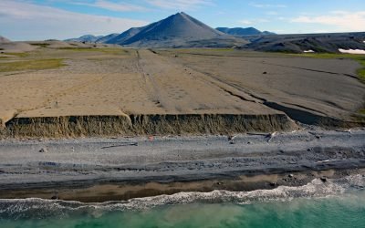
Lost River Mine, York Mountains
Lost River starts at an elevation of 1400 feet (427 m) on the south flank of the York Mountains on the Seward Peninsula and flows south for 9.5 miles (15 km) to the Bering Sea, about 86 miles (138 km) northwest of Nome and 31 miles (50 km) southeast of Wales, Alaska.
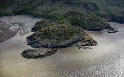
Gull Rock, Turnagain Arm
Gull Rock is a point of land on the south shore of Turnagain Arm on the Kenai Peninsula, about 18 miles (29 km) south-southeast of Anchorage and 6 miles (10 km) northwest of Hope, Alaska.
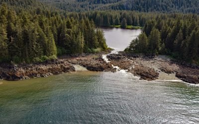
Peterson Lagoon, Eagle Harbor
Peterson Lagoon is the estuary of Peterson Creek that starts from the outlet of Peterson Lake at an elevation of 734 feet (224 m) on Auke Mountain and flows north-northwest for 4 miles (7 km) to the lagoon that connects to Eagle Harbor, about 56 miles (90 km) south-southeast of Haines and 19 miles (31 km) northwest of Juneau, Alaska.
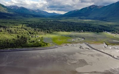
Hope, Resurrection Creek
Hope is a historic community on the Kenai Peninsula at the mouth of Resurrection Creek on the south shore of Turnagain Arm in upper Cook Inlet, about 22 miles (35.5 km) southeast of Anchorage and 18 miles (29 km) west-southwest of Girdwood, Alaska.
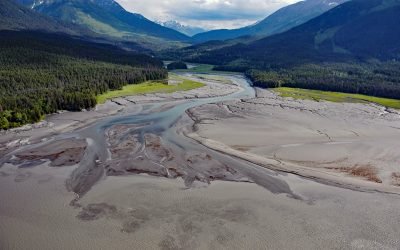
Sixmile Creek, Turnagain Arm
Sixmile Creek flows north for 8 miles (13 km) to the historical community of Sunrise on Turnagain Arm, about 27 miles (44 km) southeast of Anchorage and 9 miles (15 km) southwest of Girdwood, Alaska.
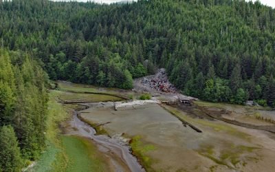
Salt Chuck Mine, Kasaan Bay
Salt Chuck is a historical mining village at the head of Kasaan Bay on the eastern coast of Prince of Wales Island, about 39 miles (63 km) northwest of Ketchikan and 4.5 miles (7.3 km) southwest of Thorne Bay, Alaska.
About the background graphic
This ‘warming stripe’ graphic is a visual representation of the change in global temperature from 1850 (top) to 2019 (bottom). Each stripe represents the average global temperature for one year. The average temperature from 1971-2000 is set as the boundary between blue and red. The colour scale goes from -0.7°C to +0.7°C. The data are from the UK Met Office HadCRUT4.6 dataset.
Click here for more information about the #warmingstripes.