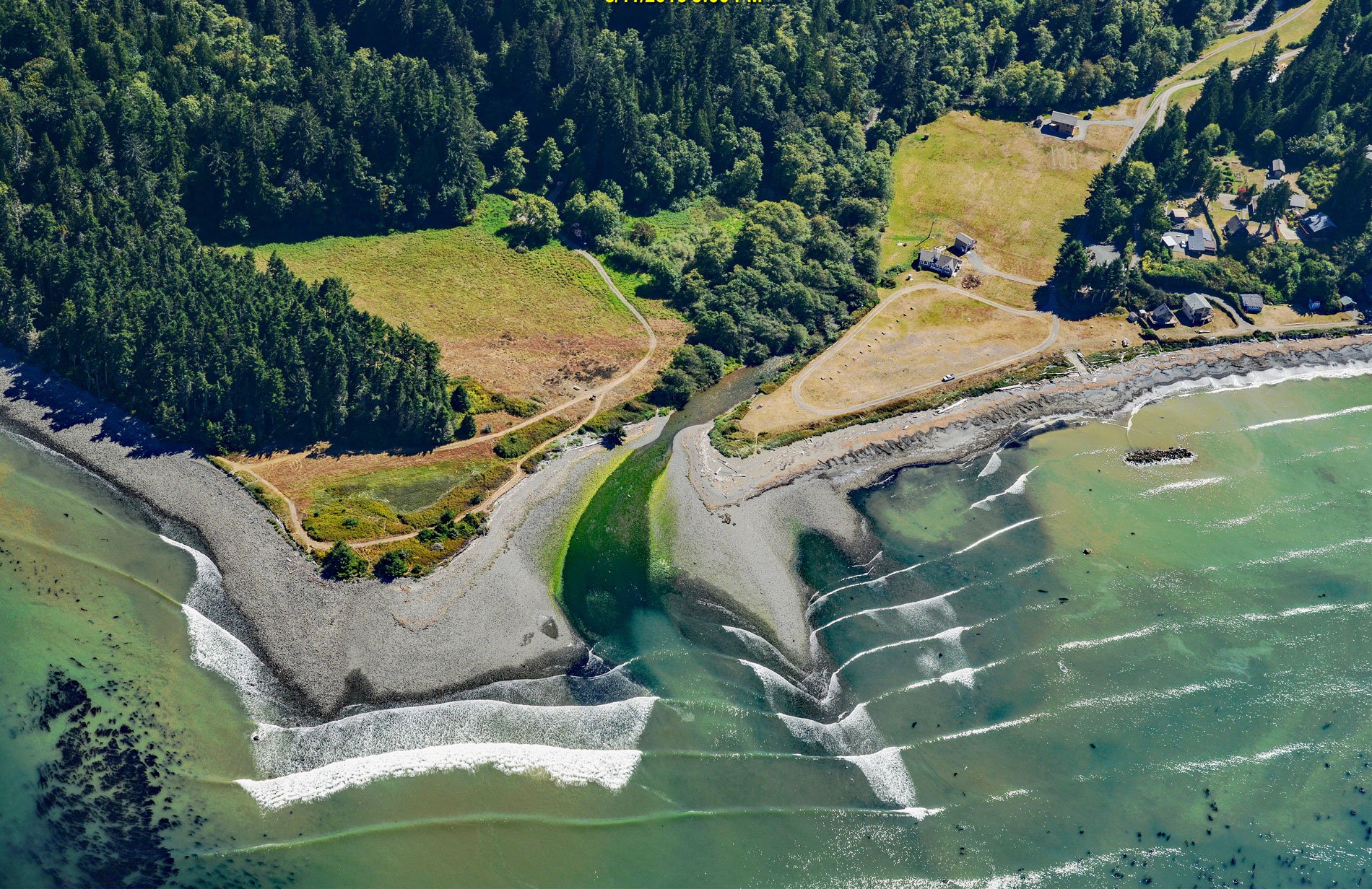
Lyre River starts at the outlet of Lake Crescent in Olympic National Park and flows generally northwest for 5 miles (8 km) to Low Point on the Strait of Juan de Fuca draining a watershed of 43,200 acres (17,482 ha), about 21 miles (34 km) southeast of Clallam Bay and 19 miles (31 km) west of Port Angeles, Washington. The river was first named Rio de Cuesta in 1790 by Gonzalo López de Haro but was later charted as River Lyre by Captain Henry Kellett in 1847. The underlying geology of the watershed consists primarily of marine sediments and basalt covered by a veneer of glacial deposits and alluvium up to 200 feet (61 m) thick in some places. The watershed reaches elevations of 5,500 feet (1,676 m) and a substantial portion is above 2,500 feet (762 m).
The Makah people at Neah Bay historically considered the Lyre River to be their eastern territorial boundary, although members of the Elwha Klallam tribe also had settlements along the river including a fishing village called Kwahamish. By the early 1890s, John Hanson and his wife Mary L. Hanson had homesteaded near the head of the Lyre River. From 1889 through the 1920s, there was a settlement named Gettysburg on the east side of the river mouth that had a steamboat connection to Puget Sound cities. The community was named after Robert N. Getty, a businessman in the lumber industry. Getty settled in the area and in 1891 built a hotel and several structures that served a local logging boom. The entire town burned to the ground in 1927, and reputedly the fire was started by a movie projector.
A waterfall on the Lyre River is situated 2.6 miles (4.2 km) downstream from the Lake Crescent outlet which prevents anadromous salmonids from entering the lake; however, the lower river provides habitat for chum and coho salmon that were fished historically by the Klallam people. Historical deforestation caused a drastic reduction of salmon returning to this watershed, and today, warming water temperatures are threatening the remaining salmon runs. The Lyre Conservation Area is a property with 280 acres (113 ha) just east of the Lyre River on the Strait of Juan de Fuca. The property contains a portion of the Lyre River estuary and 20 acres (8 ha) of undisturbed tidelands, as well as 2,640 feet (805 m) of Nelson Creek and approximately 2 miles (3.2 km) of tributaries. This conservation area also includes a large diverse upland forest as well as excellent habitat for salmon and a variety of migratory and resident birds and wildlife. Read more here and here. Explore more of Lyre River and Low Point here:

