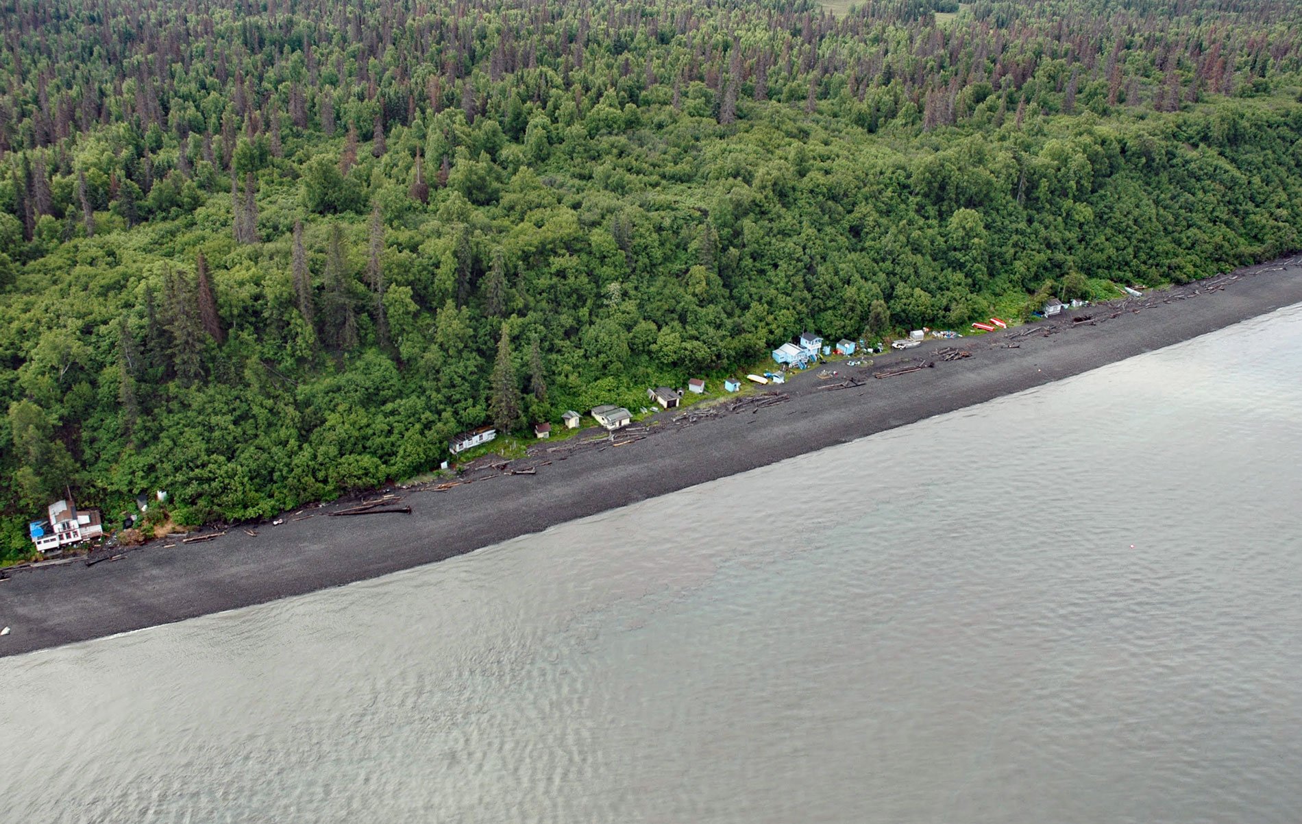
Point Possession is a headland on the northern shore of the Kenai Peninsula near the confluence of Cook Inlet and Turnagain Arm, about 44 miles (71 km) northeast of Kenai and 20 miles (32 km) southwest of Anchorage, Alaska. The point was named in 1778 by Captain James Cook who anchored the HMS Resolution off the point while smaller boats were sent to explore Knik Arm and Turnagain Arm. Cook sent a boat to Point Possession to perform a possession ceremony for King George III of England, and an earthen bottle with a parchment inside that documented the possession was reputedly buried but has never been found. The headland is formed by glacial and glacial lake sediments deposited during the Holocene and Late Pleistocene. The glacial deposits most likely originated during the Last Glacial Maximum and consist of diamicton, gravel, stony silt, silt, fine-grained sand, and some clay. Other sediments were deposited underwater in the glacial estuarine environment, perhaps in association with nearby glaciers. These deposits are well-sorted, well-stratified silt and clay, with some coarser sediments deposited at the margins of ephemeral glacial dammed and postglacial lakes.
Point Possession was the site of a historical Dena’ina fish camp that was occupied during the summer salmon runs. The Dena’ina name for the point was Ch’aghalnikt meaning ‘where fabric extends out’. When Captain Cook arrived, the Dena’ina people of Point Possession paddled out to the anchored ship and traded fur pelts in exchange for knives and needles. In the early 1900s, about 15 people lived in the village. With the arrival of more Euro-Americans following the discovery of gold at Hope, diseases not previously endemic to Alaska were soon spreading. Cases of smallpox, influenza, measles, tuberculosis, whooping cough, and other communicable diseases decimated the Dena’ina population. The 1918 Spanish flu epidemic killed 10 people at Point Possession, leaving just one family. From 1880–1920, at least eight Dena’ina villages in Cook Inlet were abandoned after too many people died for the villages to survive. Survivors moved south to Kenai, across the inlet to Tyonek, or further north to Eklutna and Chickaloon.
Point Possession was selected as traditional Dena’ina lands under the Alaska Native Claims Settlement Act of 1971. Soon after, land developers hoped to turn it into a resort community. In the 1970s, when the oil boom created economic opportunities, proposals were considered to build a road causeway across Turnagain Arm from Anchorage to Point Possession via Fire Island. More recently, the same concept was proposed for a tidal power causeway. In 2009, Point Possession and the surrounding 4,247 acres (1,719 ha) were sold by the Native Village Corporation of Point Possession to the U.S. Fish and Wildlife Service and became part of the Kenai National Wildlife Refuge. The property includes old-growth spruce forests bordering 3.5 miles (6 km) of Cook Inlet shoreline and is an exceptional habitat for brown and black bears, moose, and tundra swans. Today, Point Possession is the site of a summer set-net fishing community. Read more here and here. Explore more of Point Possession and Cook Inlet here:

