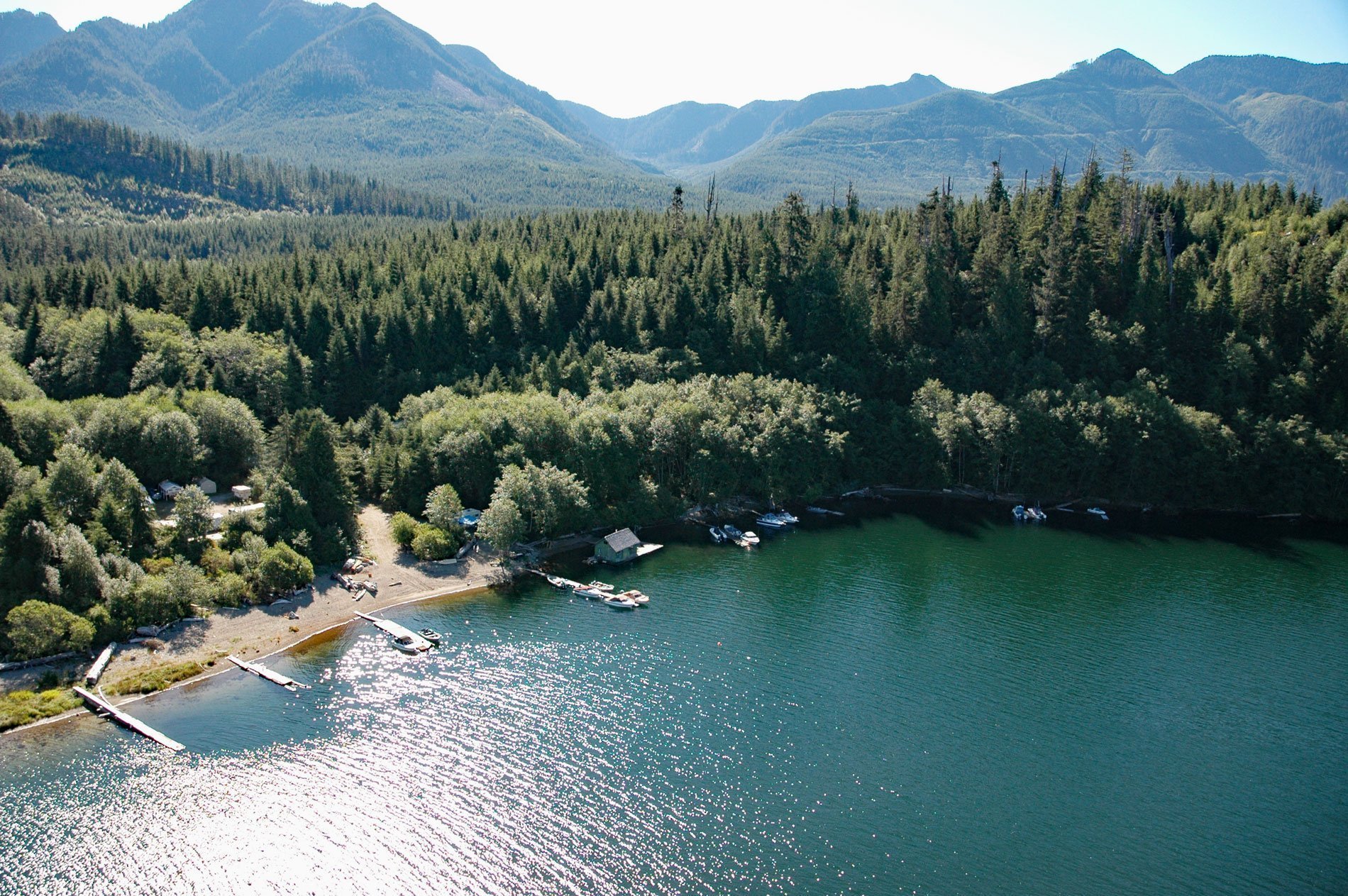
Daykins Bay is on the southeastern shore of Nitinat Lake, approximately 7 miles (11 km) northeast of the outlet at Whyac and 6 miles (10 km) southwest from the Ditidaht village of Malachan, British Columbia. The lake is tidal and the bay was the site of the Malloch and Moseley logging camp, and on some maps is shown as Malex Camp, which is now used as a fishing camp and boat launch.
The site was used historically by the Ditidaht First Nation and was a designated reserve allotted for fishing purposes. In 1893, there was one house here when the 13-acre (5 ha) reserve was first surveyed. This place was called “Doo-bah” or “Duba” meaning “taboo place” where the Ditidaht people caught and smoked dog or chum salmon and collected red cedar for canoes and house planks. Recent treaty negotiations have transferred 350 acres (142 ha) of land from the province to the Ditidaht and an economic development plan has been completed. The plan recommends developing a campground at Doobah to promote tourism. Nitinat Lake and the surrounding region are an important part of the Vancouver Island economy. The lake is an internationally known destination for windsurfing and kite-boarding due to the strong and regular wind that blows along the lake axis, as well as being well known for recreational fishing.
The Pacific Coast of British Columbia has a large number of unusual coastal lakes that have major marine influences. Nitinat Lake is one example of a long, narrow, and strongly salt-stratified fjord lake. The lake is at sea level, connected to the ocean by a natural channel only 8 feet (2.5 m) deep at low normal tides that limits exchange between the 672 feet (205 m) deep lake and the Pacific Ocean. It has inputs of saltwater at high tides and freshwater inputs from the terrestrial watershed. This results in very unusual physical stratification of the lake water with a thin freshwater surface layer over mostly seawater. Water depths below 60-100 feet (20-30 m) are permanently anoxic and contain high concentrations of hydrogen sulfide that can be upwelled to the surface during certain conditions. Read more here and here. Explore more of Daykins Bay here:

