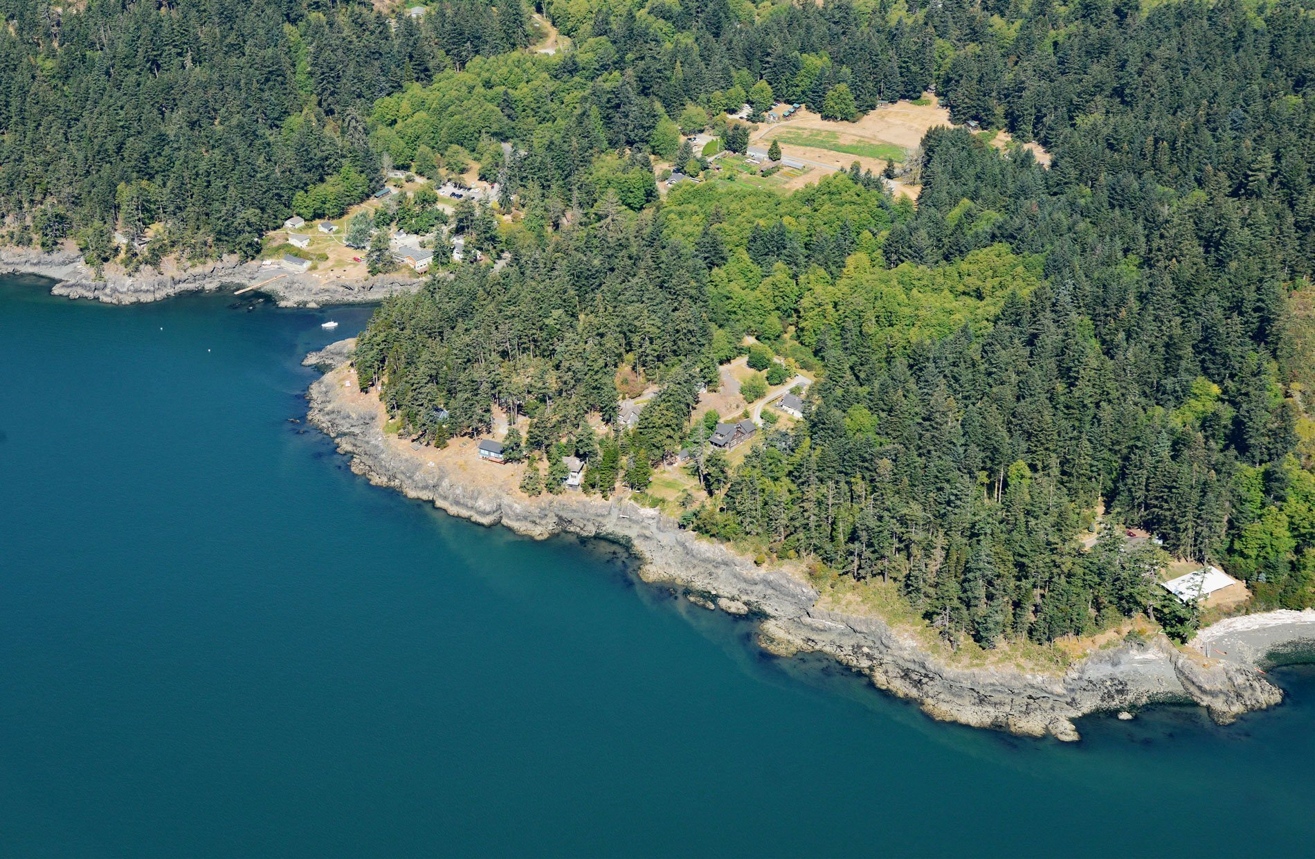
Doe Bay is a small community on the southeastern shore of Orcas Island in the San Juan Islands of Puget Sound, about 7 miles (11.3 km) southeast of the community of Eastsound, and 3 miles (4.8 km) northeast of Olga, Washington. The name “Orcas” is a shortened form of Horcasitas, for Juan Vicente de Güemes Padilla Horcasitas y Aguayo, the 2nd Count of Revillagigedo and the Viceroy of Mexico, who sent an exploration expedition under Francisco de Eliza to the Pacific Northwest in 1791.
Orcas Island lies in the San Juan archipelago of the Salish Sea in Northwest Washington. Mountainous and heavily forested, the island is nearly divided by the long inlet of East Sound, with two smaller inlets (West Sound and Deer Harbor) indenting its western half. The island has historically been part of the traditional home for the Lummi tribe and other Straits Salish peoples and there is archaeological evidence of human habitation for thousands of years. European explorers charted the island in the late eighteenth and early nineteenth centuries and British and American trappers and settlers arrived by the 1850s.
Hudson’s Bay Company employees were the first to raise sheep and pigs and also hunt deer and trade with the local Native Americans. Kanaka shepherds from Hawaii tended the sheep while French Canadians trapped and hunted on San Juan and Orcas Islands. Louis Cayou was a hunter who married a local Lummi-Saanich woman named Mary Anne, and they settled permanently on Orcas in 1859. Cayou is generally credited as the first permanent settler of Orcas Island. Other early settlers included William Moore, who settled in Olga in 1860, and John Viereck at Doe Bay in 1872. Included in the territory disputed during the “Pig War,” Orcas Island became part of San Juan County in the State of Washington after arbitration awarded the islands to the United States. Pioneer settlement immediately increased and by 1895 a productive agricultural community had been established. Read more here and here. Explore more of Doe Bay here:

