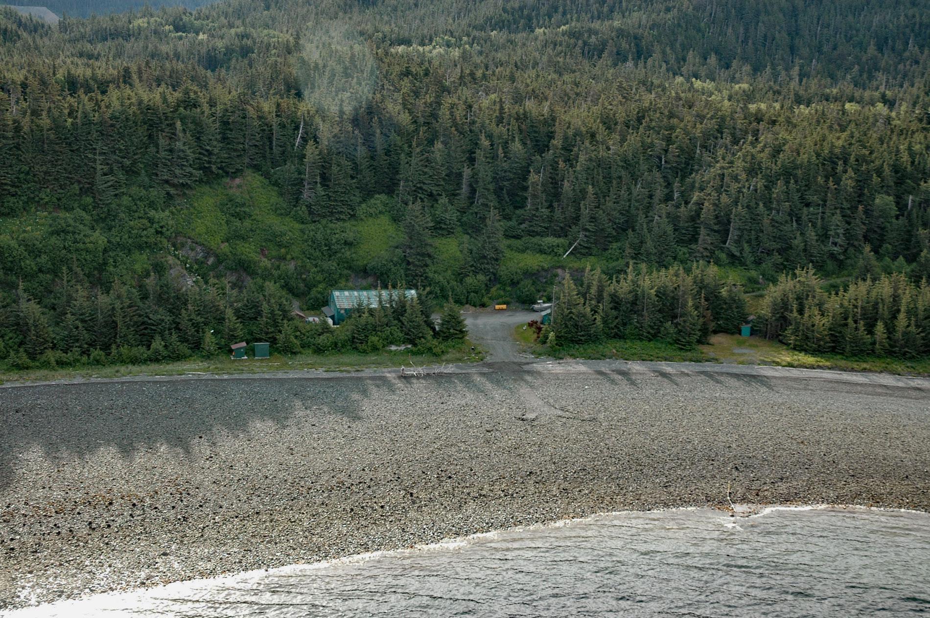
Kensington is a complex of underground mines and associated milling facilities on the southern flank of Lions Head Mountain in the Kakuhan Range between Lynn Canal to the west and Berners Bay to the east, about 47 miles (76 km) west-northwest of Juneau and 28 miles (45 km) south-southeast of Haines, Alaska. Lynn Canal is a fjord that extends for 60 miles (97 km) south from Chilkat Island to Chatham Strait, 22 miles (35 km) west of Juneau. The passage was first charted by Lieutenant Joseph Whidbey during the Vancouver Expedition and named after King’s Lynn, Norfolk, England, the birthplace of Captain George Vancouver. Berners Bay is an estuary that extends about 8 miles (13 km) north of the entrance at Lynn Canal and is fed by four glacial rivers. The bay was named after Bridget Berners who was Vancouver’s mother. The Kakuhan Range is a subrange of the Boundary Ranges which form part of the Coast Mountains. The ore body is in a belt of diorite that developed as an igneous intrusion during the Cretaceous and metamorphosed the surrounding sedimentary and volcanic rocks of the Triassic or Permian age. This formation is called the Jualin Diorite Belt and trends northwest for 5 miles (8 km) between the head of Johnson Creek to the east and Sherman Creek to the west.
The site was first discovered in 1895 and initial production took place in 1904 from the historical Comet, Kensington, Ophir, Horrible, Ivanhoe, and Jualin prospects. The original Kensington prospect was at an elevation of 2,015 feet (614 m) and was connected by an aerial tram that descended 1,285 feet (392 m) to an access road that went to sea level. About 65,000 ounces (1,843 kg) of gold were produced prior to World War II. In 1978, exploration started in the Johnson Creek watershed to the southeast on a contiguous block of mines, prospects, and claims around the old Jualin Mine. In 1980, modern exploration in the Sherman Creek watershed began when the Kensington Mine was optioned to a succession of companies. In 1987, Coeur d’Alene Mines Corporation became involved in the property in a joint venture with Echo Bay Mines. In 1995, Coeur acquired a 100 percent interest in the property under a subsidiary called Coeur Alaska by consolidating more than 12 mines and prospects, 53 patented claims, and 377 unpatented claims. In 2010, the new Kensington Mine began production with a projected rate of about 125,000 ounces (3,544 kg) of gold per year and a life of 12.5 years, with an expected yield of more than 1 million total ounces (28,350 kg) of gold.
Coeur Alaska successfully applied for a tailings disposal permit from the U.S. Army Corps of Engineers to dispose of 4.5 million tons of tailings from the Kensington gold mine into Lower Slate Lake. The gold ore retrieved from the mine is processed with a froth-flotation mill. In the froth-flotation process, ore-bearing rock from the mine is transported to a mill and moved through a series of mechanical crushing and grinding procedures. After the rock is finely ground, it is fed into a tank where water and chemicals referred to as conditioners, frothers, surfactants, and scale inhibitors are added. Air is then pumped into the tank, producing bubbles that attach to the gold deposits. The bubbles rise, bringing the gold with them and forming a froth that is skimmed off the top. The residual ground rock remains as a waste product. Of the 2,000 tons of ore that the Kensington mine will process each day, only about 100 tons contain economically viable gold minerals. About 40 percent of the tailings will be used as backfill in the mine. The remaining volume is discharged with wastewater directly into Lower Slate Lake, a subalpine lake of 23 acres (9 ha) in the Tongass National Forest and the watershed of Berners Bay. Read more here and here. Explore more of Lynn Canal and Kensington Mine here:

