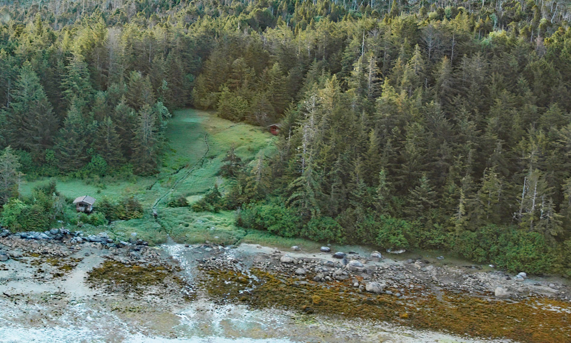
Goddard is a historic settlement situated in Hot Springs Bay on the west coast of Baranof Island, about 92 miles (148 km) west of Petersburg and 15 miles (24 km) south of Sitka, Alaska. Russian fur hunters probably established the site in 1800 during the eastward expansion of the fur trade and shortly before moving the administrative headquarters of the Russian-American Company from Kodiak to Sitka. They called it ‘Teplyya Tseplitel Yuchya Klyuchi’ meaning ‘sheltered curative hot springs’. Hot springs are fairly common in Southeast Alaska and most of them appear to be associated with masses of granitic rocks. The rocks on Baranof Island are components of a Paleogene oceanic volcanic arc complex, that includes sedimentary and volcanic rocks deposited on and adjacent to the arc complex and were then deformed and accreted. Hot Springs Bay is at the northern edge of a massive pluton composed of granodiorite from the early Eocene. Adjacent to the pluton to the north is a formation of Sitka Greywacke that developed during the Cretaceous and includes layers of partially metamorphosed sandstone and mudstone derived from turbidites interpreted to represent submarine fan, inner trench, and canyon fill deposits.
This part of Baranof Island is within the traditional territory or kwaan of the Sheey At‘iká Tlingit and they likely knew of the hot springs long before the arrival of Europeans. The Tlingit people recognized the medicinal properties of the hot springs and would travel hundreds of miles to benefit from the ‘healing waters’. The hot springs were visited in 1841 by Sir George Simpson, governor in chief of the Hudson’s Bay Company in North America, who described the settlement as having three cottages maintained by a Russian man and his daughter that were used as a hospital for invalids from Sitka. In 1917, the site was called ‘Sitka Hot Springs‘, and used as a health and rest resort with a wood-frame hotel and several cottages providing accommodations for about 30 guests. There were four springs named Main, Magnesia. Sulphur, and Old Russian. Main Spring had a flow rate of 9.5 gallons (43 L) per minute and fed two baths, one for the Tlingit and the other for ‘prospectors’. In 1924, Dr. Fred L. Goddard bought the hot springs and surrounding land, built a three-story sanitarium, and the settlement became known as the Goddard Hot Springs. During this time the hot water was used to heat the sanitarium and several smaller buildings, including a greenhouse. In 1939, the buildings were purchased by the Alaska Territorial Legislature as an overflow home for the Sitka Pioneers Home. After 1946, the buildings fell into disuse and were torn down. Today, the city of Sitka owns the hot springs property and maintains two modern cedar bathhouses at the site.
Granitic masses resulting from intrusions of magma into older sediments cover large areas in Southeast Alaska and the hot springs apparently issue along minor fault or fracture zones in the rock. Carbonated springs also occur at several places in this region. In at least one site near New Eddystone Rock in Behm Canal the production of carbon dioxide appears to be connected with relatively recent volcanic activity. In other places, the carbonic-acid gas is of more obscure origin, but it may be generated by intrusive rocks or be derived directly from limestone, of which the gas is a constituent. Alaska is geothermally active with 97 known thermal springs that have the potential for generating electricity but the drawback is that much of the geothermal resource is far from population centers. Alaska’s first geothermal power plant at Chena Hot Springs began operation in 2006 and has a generating capacity of 730 kilowatts. The U.S. Geological Survey has identified several areas that have the potential for economically generating as much as 250 megawatts of geothermal electric power but none in Southeast Alaska are economical to develop. Read more here and here. Explore more of Goddard and Hot Springs Bay here:

