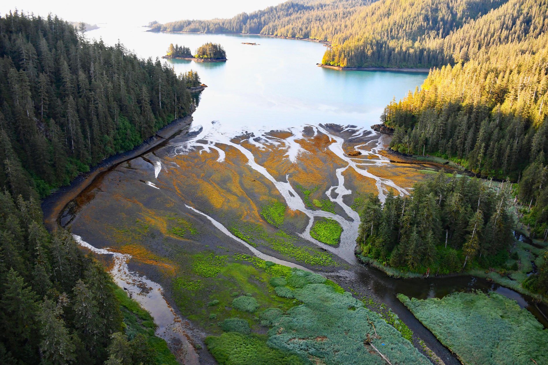
Tonsina Bay is on the western shore of Nuka Passage at the base of Gore Point on the Kenai Peninsula, across from the southern end of Nuka Island, about 76 miles (122 km) south-southwest of Seward and 31 miles (50 km) south-southeast of Homer, Alaska. The name ‘tonsina’ is a word from the Ahtna Athabaskan language meaning ‘spruce bark boat‘ and refers to a people that historically inhabited the Tonsina River watershed on the west side of the Copper River and had a village at Tonsina Lake. The name inexplicably appears on maps of central Alaska by D.H. Sleem in 1910 showing the head of Resurrection Bay and Tonsina Creek. The name for the bay was first published on topographic maps in 1951 by the U.S. Geological Survey. Tonsina Bay is roughly aligned with the Chugach Bay Fault that separates rocks of the Valdez Group to the south from the McHugh Complex to the north. The Valdez Group developed during the Late Cretaceous and consists primarily of deformed metasedimentary greywacke, siltstone, and shale generally considered to be deposits of turbidity currents in an oceanic trench. The McHugh Complex, developed during the Cretaceous to Carboniferous and is a mélange of volcanic rocks representing oceanic crust and clastic sedimentary rocks that were deposited in an oceanic trench.
The outer coast of the Kenai Peninsula is the traditional territory of the Alutiiq Sugpiaq people that also included much of the Gulf of Alaska including Prince William Sound, the Kodiak Island Archipelago, and the Pacific coast of the Alaska Peninsula. One of the major factors influencing the archaeological record of the outer coast were the glacier advances during the Little Ice Age which lasted from approximately 1100 to 1850 AD and affected human use of the fjords. Recent archaeological studies found evidence of extensive occupation of the outer coast in pre-European contact times. Archaeological sites are located on the mainland opposite the northern and southern ends of Nuka Island, and along McArthur Pass, and historical occupation of some sites such as Yalik Bay, Port Dick, Windy and Rocky bays lasted well into the 1800s. The ancestors of present-day residents of Nanwalek and Port Graham came from Yalik Bay and after moving to Kachemak Bay, still returned seasonally to the outer coast for salmon, sea lions and seals. In 1923, Frank Skeen found gold on Nuka Island and prospectors soon invaded the area, staking claims in Nuka Bay and Tonsina Bay. Historical narratives describe a mine and cabin on Tonsina Bay which dates from the 1920s or 1930s.
Gore Point extends into the Gulf of Alaska and is subject to westerly ocean currents, principally the Alaska Coastal Current driven by a pressure gradient set up by freshwater runoff from the coast, and is typically 5 to 15 miles (8-24 km) wide along the Kenai Peninsula. In March 1989, the oil tanker Exxon Valdez grounded on Bligh Reef in Prince William Sound and released a large amount of crude oil that drifted southwest through Montague Strait into the Gulf of Alaska. Winds drove a large concentration of oil toward shore slightly west of Nuka Bay and the eastward-facing promontories such as Gore Point were significantly oiled. Under the influence of southeast winds, oil was also driven into Tonsina Bay where many sea otters, birds, and intertidal invertebrates were severely oiled. Tonsina Bay was chosen for one of many otter capture efforts since it provided shelter from storms and a safe anchorage. A total of about 350 oiled sea otters were captured from the entire spill area and sent to treatment centers, which saved 197 that were released back into the wild. By October 1989, over 36,400 dead oiled birds and over 900 dead oiled sea otters had been recovered, but the actual total mortality may never be known. Read more here and here. Explore more of Tonsina Bay and Nuka Passage here:

