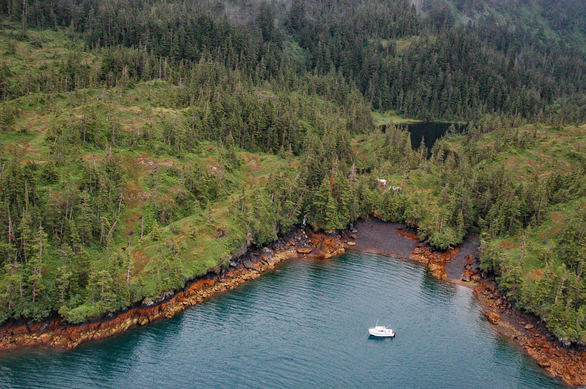
Main Bay is an estuary on the Kenai Peninsula fed by a watershed of 3,795 acres (1,536 ha) mostly draining from an unnamed lake at an elevation of 205 feet (62 m) on the northern flank of Eshamy Peak in Prince William Sound, between Port Nellie Juan to the west and Knight Island Passage to the east, about 81 miles (131 km) west of Cordova and 28 miles (45 km) southeast of Whittier, Alaska. The descriptive name was given in 1913 by the U.S. Coast and Geodetic Survey. The bay is formed by glacially scoured bedrock of the Orca Group in the Southern Margin composite terrane that developed during the early or middle Eocene to late Paleocene and consists of turbiditic sedimentary rocks representing submarine fan deposits. The rocks surrounding Main Bay are greywacke sandstone, siltstone, mudstone, slate, and some conglomerate. Abundant sedimentary structures, such as graded bedding, crossbedding, and ripple marks, along with flute, groove, and load casts, indicate deposition from turbidity currents. The rock formation is bisected by the Johnstone Bay Fault which is aligned with the axis of the lake at the head of the bay. The large ice fields and numerous valley glaciers found today in the Chugach and Kenai mountains are remnants of a much larger late Pleistocene piedmont glacier which probably extended to the southernmost islands bordering the Gulf of Alaska until about 9,000 years ago. Following this period of deglaciation, there were three major subsequent glacial advances in Prince William Sound, the first from about 3,200 and 2,400 years ago, the second about 1,410 years ago, and the third from 650 years ago to sometime during the 19th century.
Prince William Sound and the adjacent islands are the traditional territory of the Chugach Sugpiaq people whose ancestors were hunter-gatherers with complex social customs such as ranked societies, shared economies, territorial boundaries, technological innovation, and warfare. An earlier prehistoric people inhabited Prince William Sound based on archaeological excavations at Uqciuvit and Palugvik, village sites located in the northwestern and southeastern parts of the sound, respectively. The occupation at Uqciuvit lasted from about 3,800 years ago to historic times, while Palugvik was inhabited from approximately 2,200 years ago until at least the early to mid-1700s. Little is known about the people of this pre-Neoglacial phase, except that they hunted sea mammals, used red ochre, and were familiar with slate grinding. They lived during a time of cool, moist, and sometimes severe weather in a landscape dominated by sedge tundra. Historically, Prince William Sound was occupied by eight geographic groups of Chugach Sugpiaq. Although these groups shared the same language and culture, each was politically independent, with its own leader and principal village. Early European explorers noted the relatively small number of people inhabiting Prince William Sound and this has been corroborated by archaeological surveys that found relatively few sites, and none that could be described as a large village. This apparent under-population of the area relative to the food and resource availability is possibly explained by the exposure to raids by hostile foreigners, seismic activity, or it may be that Prince William Sound was a marginal habitat despite the abundance of salmon during parts of the year.
Pacific salmon have been an important source of food in Alaska for millennia. The commercial exploitation of salmon began following the Alaska Purchase in 1867, and the salmon industry grew rapidly with little oversight leading to unregulated expansion of cannery capacity and the use of fish traps. This led to overfishing and salmon population declines resulting in several industry consolidations in the late 19th and early 20th centuries. In 1953, stocks were so low that President Dwight Eisenhower declared the situation a federal disaster, but the decline continued until record low levels in 1972. In 1973, the Alaska Department of Fish and Game initiated a comprehensive fisheries management program which included a limited entry permit system and the establishment of fish hatcheries. In 1981, a hatchery was built in Main Bay for chum salmon. The hatchery is owned by the State of Alaska, but since 1990, the Prince William Sound Aquaculture Corporation, a private non-profit hatchery association, manages and operates the facility for the Alaska Department of Fish and Game. Since 1998, the hatchery has concentrated solely on rearing sockeye salmon for the Coghill Lake fishery, and the facility is currently permitted for 12.4 million sockeye salmon eggs annually. In Alaska, hatchery associations may catch and sell a portion of returning adult salmon for cost recovery. The cost recovery fishery in Main Bay is locally referred to as a gillnet rodeo, see it here. Read more here and here. Explore more of Main Bay and Prince William Sound here:

