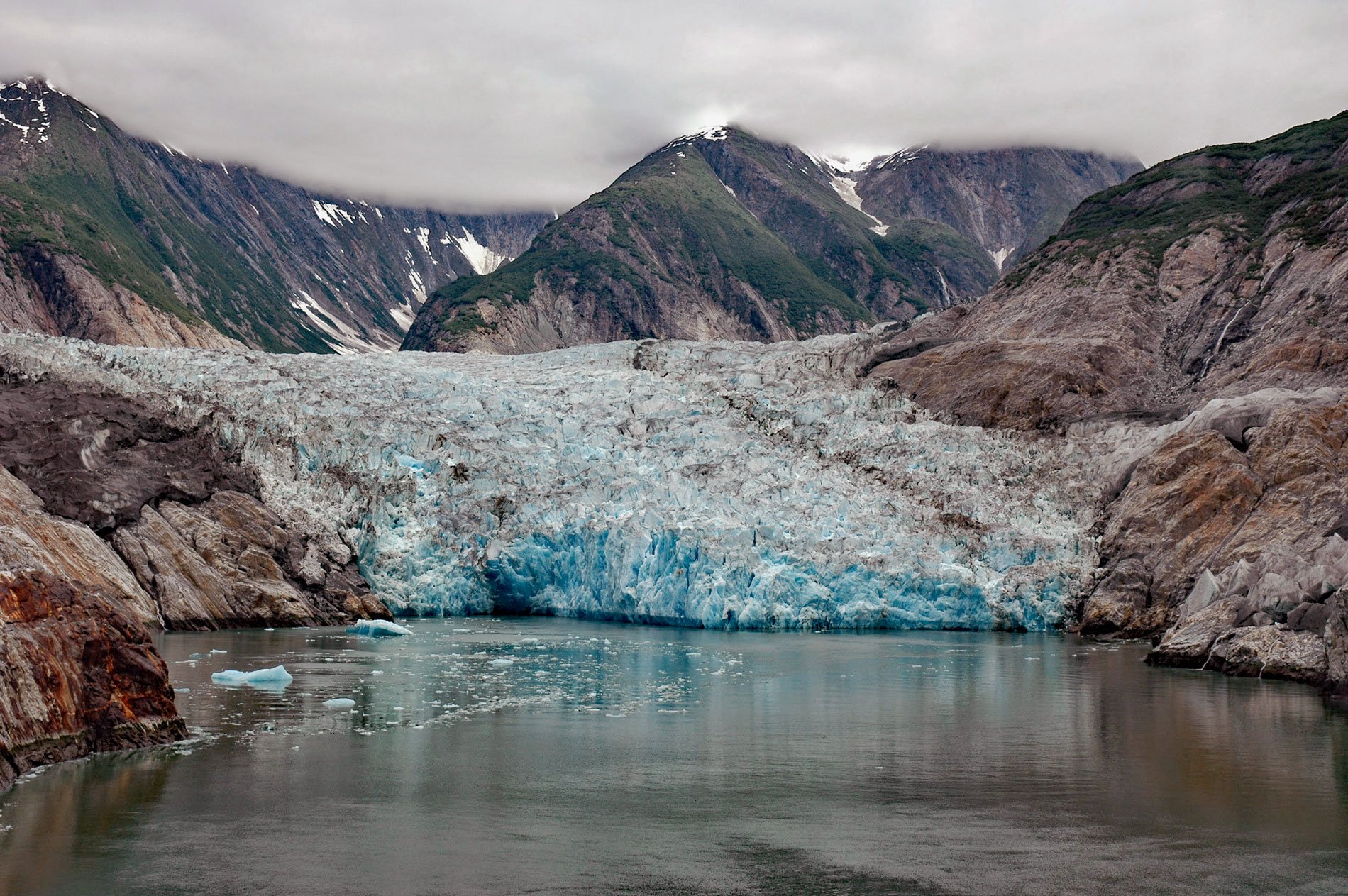
Sawyer Glacier, also called North Sawyer Glacier, starts in the Coast Mountains of British Columbia at an elevation of about 6,600 feet (2,012 m) and flows generally west for 14 miles (23 km) to the Alaska border at an elevation of 3,600 feet (1,097 m) and then another 7 miles (11 km) to a terminus at sea level in Tracy Arm, about 78 miles (126 km) north of Petersburg and 53 miles (85 km) southeast of Juneau, Alaska. The glacier was named in 1889 by Commander Henry B. Mansfield on Carlile P. Patterson and published in 1891 by the U.S. Coast and Geodetic Survey. Tracy Arm is a fjord also named by Mansfield in 1899 after the Secretary of the Navy Benjamin F. Tracy. The fjord extends for 30 miles (48 km) from Holkham Bay to Sawyer Glacier and is part of the Tracy Arm-Fords Terror Wilderness, designated by the U.S. Congress in 1990. Tracy Arm-Fords Terror Wilderness contains 653,179 acres (264,332 ha) in the Tongass National Forest and consists of Tracy Arm and Endicott Arm. Both fjords are over 30 miles (48 km) long and during the summer have considerable floating ice ranging from hand-sized bits to icebergs over 30 feet (9 m) tall or equivalent to a three-story building.
The Coast Mountains extend for about 1,000 miles (1,600 km) from the Fraser River in British Columbia in the south through the Boundary Ranges in Southeast Alaska to the Yukon in the north. Southeast Alaska is geologically represented by a series of tectonostratigraphic terranes that formed south in the equatorial Pacific Ocean and rafted northward on oceanic plates, eventually accreting to Alaska and the North American continent. The Boundary Ranges are mostly covered by extensive ice fields underlain by volcanic and non-volcanic bedrock. The volcanic rocks are remnants of a Late Cretaceous volcanic arc system called the Coast Range Arc. The non-volcanic rocks are part of the Tracy Arm terrane that accreted to North America 185 and 170 million years ago and consists of the Tracy Arm, Endicott Arm, and Port Houghton assemblages. The Tracy Arm terrane was intruded by magma during the Eocene forming granodiorite plutons and metamorphosing the surrounding sedimentary rocks of the Tracy Arm terrane. The oldest rocks in the Tracy Arm terrane belong to the Tracy Arm assemblage, a metasedimentary succession that consists of biotite schist, gneiss, quartzite, and marble.
Tidewater glaciers are ice streams that terminate in the ocean at either a grounded terminus or floating ice tongue. The U.S. Geological Survey identified 59 current and former tidewater glaciers in Alaska; however, only 50 currently have a terminus at tidewater. The Boundary Ranges of Southeast Alaska have four remaining tidewater glaciers with a total area of 443,520 acres (179,486 ha) including North Sawyer, South Sawyer, Dawes, and LeConte glaciers. In general, these glaciers are all thinning and retreating. In 1794, the Vancouver Expedition discovered Holkham Bay and described the ice fronts at the head of the bay but did not observe Tracy and Endicott fjords. In 1899, Mansfield sailed up Tracy Arm and observed one ice front of Sawyer Glacier. In 1904, the ice front had separated into the North Sawyer and South Sawyer glaciers, representing a retreat of 24 miles (39 km) or about 1320 feet (400 m) per year since Vancouver’s visit. In 1961, the terminus of Sawyer Glacier was almost to the main arm of the fjord. From 1961 to 2022, the glacier retreated another 2 miles (3.3 km). In May 2023, satellite images indicated the glacier terminus had retreated from Tracy Arm and only the highest tides touched the ice at the southernmost point and the glacier is retreating from the fjord. Read more here and here. Explore more of North Sawyer Glacier and Tracy Arm here:

