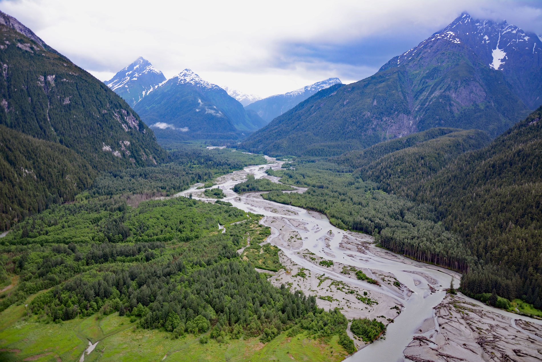
Kshwan River starts from the terminus of the retreating Kshwan Glacier in the Cambria Icefield and flows south for 10 miles (16 km) where it merges with the Sutton River and then continues for another 3 miles (5 km) to the head of Hastings Arm, about 95 miles (153 km) north-northeast of Prince Rupert and 22 miles (35 km) south-southeast of Stewart, British Columbia. The river mouth was historically the site of a Nisga’a village named Kswan. The southern margin of the Cambria Icefield is an area of active mineral exploration and potential mine development. This area received extensive mineral prospecting during the early 1920’s after discoveries of silver in the Kitsault River Valley to the east. The mineral prospects are in the Nechako Belt of Jurassic volcanic rocks situated at the boundary between the Intermontane and Bowser Basin to the east and the intrusive Coast Plutonic Complex to the west. Several deposits of copper, gold, and silver are present as well as molybdenum.
Hastings Arm is a fjord about 19 miles (30 km) long that starts at the confluence of Observatory Inlet and Alice Arm. The English name was conferred in 1869 by Captain Daniel Pender, after Rear Admiral George F. Hastings, Commander in Chief of the Pacific Station on HMS Zealous at Esquimalt from 1866 to 1869. The name of the inlet in the Nisga’a language is K’alli Kshwan, meaning ‘upriver water teeth’ which is a reference to the tribe’s founder Tseemsim cupping his hands to take a drink from the Kshwan River and finding it so cold it hurt his teeth. Hastings Arm has a depth of 1,007 feet (307 m) and was carved out of the coastal mountains by Pleistocene glaciers. As is typical of fjords, there is a shallow sill which represents the terminal moraine with a depth of 167 feet (51 m) that separates Hastings Arm from Observatory Inlet.
The headwaters of the Kshwan River are part of the North Coast Biodiversity, Mining and Tourism Area. These areas were designated under the Great Bear Rainforest Act and prohibit commercial timber harvesting and hydroelectric generation but allow mining and tourism development as long as ecological integrity is maintained. The Great Bear Rainforest is part of the larger Pacific temperate rainforest ecoregion, which is the largest coastal temperate rainforest in the world. Read more here and here. Explore more of Kshwan River and Hastings Arm here:

