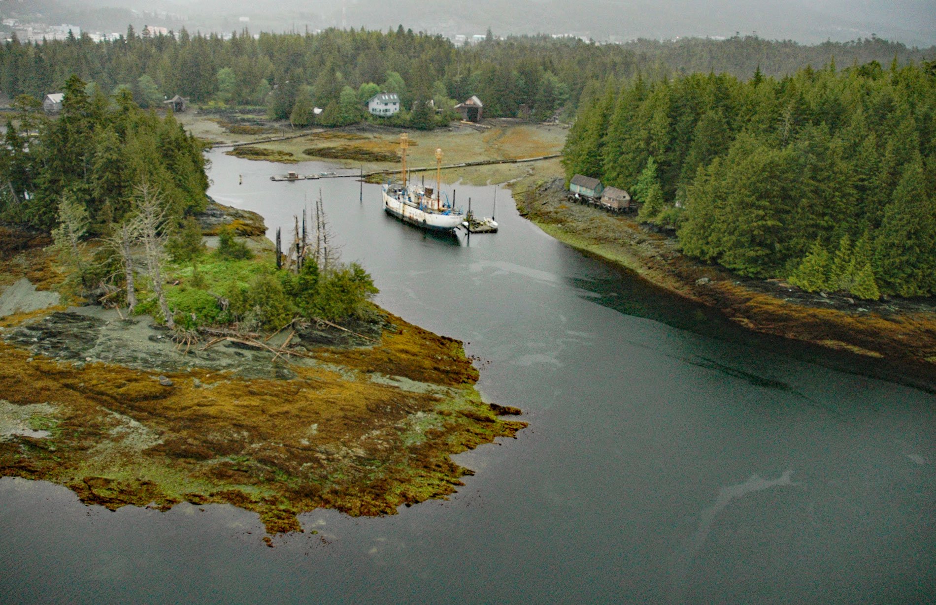
WLV-196 Umatilla was the last lightship to mark Umatilla Reef off Washington state and in 2005 was moored on the north shore of Pennock Island in Southeast Alaska, about 2.75 miles (4.4 km) northwest of Saxman and 0.75 miles (1.2 km) southwest of Ketchikan, Alaska. Pennock Island is between Gravina and Revillagigedo Islands and divides Tongass Narrows into the East and West Channels. The island was named in 1895 by Captain W.E. George who was a local maritime pilot, for Homer Pennock, a promoter and reputedly a con man who took a group of gold seekers to Cook Inlet in 1896. The industrial village of Pennock, Illinois which is now part of Chicago, and the community of Homer in Kachemak Bay, are also named after him.
Umatilla Reef is the westernmost of several sea stacks and islets off the coast of Cape Alava in Washington that create a navigational hazard. The reef is named for the steamer Umatilla that ran aground here in high seas and blinding snow in February 1884. Fourteen years after the Umatilla grounded, the first lightship WLV-67 Umatilla was anchored near the reef to prevent other vessels from experiencing the same fate. Lightships were historically used where lighthouse construction was not possible, although the type has become largely obsolete and replaced by automated buoys.
WLV-196 Umatilla was built by Devoe Shipbuilding at Bay City, Michigan, in 1946. The new ship sailed through the Great Lakes and Saint Lawrence Seaway and served off the coast of Massachusetts. In 1961, the lightship was refurbished at Curtis Bay, Maryland, and then sent through the Panama Canal to the west coast. From 1961 to 1971 it served the lightship station at Umatilla Reef off the coast of Washington. It was decommissioned on September 30, 1971, and purchased by Southeast Stevedoring for use as a remote longshore camp for crews loading log ships. In 1989, and during the Exxon Valdez cleanup campaign, the vessel was moored in Homer, Alaska. The lightship was reportedly scrapped sometime before 2016. Read more about the lightship here and here. Explore more of Pennock Island here:

