
Shipwrecks
Recent Articles
More Articles
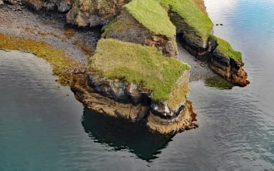
Uyak Bay, Kodiak Island
Uyak Bay extends south-southeast for 40 miles (65 km) from Shelikof Strait on the northwest coast of Kodiak Island, about 59 miles (95 km) west-southwest of Kodiak, Alaska.
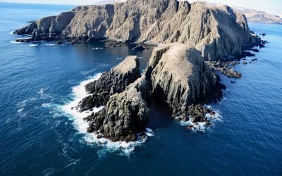
Egg Island, Sedanka Pass
Egg Island is about 0.7 miles (1.1 km) wide, located 2 miles (3.2 km) northeast across Sedanka Pass from Cape Sedanka on Sedanka Island and 1.4 miles (2.3 km) southeast of Old Man Rocks in the Fox Islands of the Aleutian Archipelago, about 22 miles (35 km) southwest of Akutan and 20 miles (32 km) east-southeast of Dutch Harbor, Alaska.
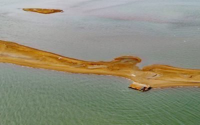
Igalik Island, Dease Inlet
Igalik Island is an Arctic barrier island, the easternmost of the Plover Islands, approximately 2.5 miles (4 km) long, located at the entrance to Dease Inlet, about 36 miles (58 km) east-southeast of Utqiagvik, Alaska.
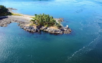
HMCS Mackenzie, Cornet Island
HMCS Mackenzie was a destroyer scuttled in Haro Strait, between Cornet and Gooch Islands in the Southern Gulf Islands, approximately 18 miles (29 km) north-northeast of Victoria and 5 miles (8 km) east-northeast of Sidney, British Columbia.
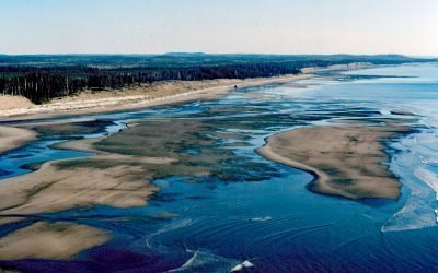
SS Pezuta, Tlell River
The Tlell River flows generally north-northeast for 28 miles (45 km) to Hecate Strait, near the wreck of the steamship SS Pezuta, about 29 miles (47 km) south-southeast of Masset and 4.5 miles (7 km) north of Tlell, British Columbia.
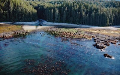
SS Uzbekistan, Darling River
The wreck of the SS Uzbekistan is situated at the mouth of the Darling River, which flows south for 6 miles (10 km) through the heavily logged interior forests of southwestern Vancouver Island, about 31 miles (50 km) northwest of Port Renfrew and 9 miles (15 km) south-southeast of Bamfield, British Columbia.
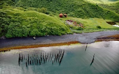
Port Hobron, Sitkalidak Island
Port Hobron is an abandoned whaling station on the south shore of a fjord with the same name situated on the north coast of Sitkalidak Island, about 6 miles (10 km) southeast of Old Harbor and 48 miles (77 km) south-southwest of Kodiak, Alaska.
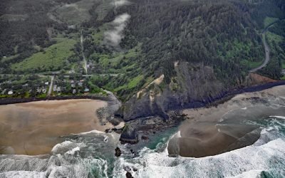
Arch Cape Creek, Arch Cape
Arch Cape is a small community at the mouth of Arch Cape Creek named after a natural sea arch in a basalt headland, about 25 miles (40 km) north-northwest of Tillamook and 6.5 miles (10 km) south of Cannon Beach, Oregon.
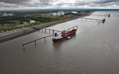
Nikiski Terminal Wharf, East Foreland
Nikiski Terminal Wharf forms part of the Port of Nikiski petroleum facility in upper Cook Inlet on the west coast of the Kenai Peninsula at East Foreland, about 63 miles (101 km) southwest of Anchorage and 10 miles (16 km) north-northwest of Kenai, Alaska.
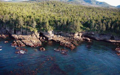
Valencia Bluffs, West Coast Trail
Valencia Bluffs are sea cliffs along the West Coast Trail in Pacific Rim National Park Reserve on Vancouver Island’s southwest shore, about 29 miles (47 km) northwest of Port Renfrew and 11 miles (18 km) southeast of Bamfield, British Columbia.
About the background graphic
This ‘warming stripe’ graphic is a visual representation of the change in global temperature from 1850 (top) to 2019 (bottom). Each stripe represents the average global temperature for one year. The average temperature from 1971-2000 is set as the boundary between blue and red. The colour scale goes from -0.7°C to +0.7°C. The data are from the UK Met Office HadCRUT4.6 dataset.
Click here for more information about the #warmingstripes.