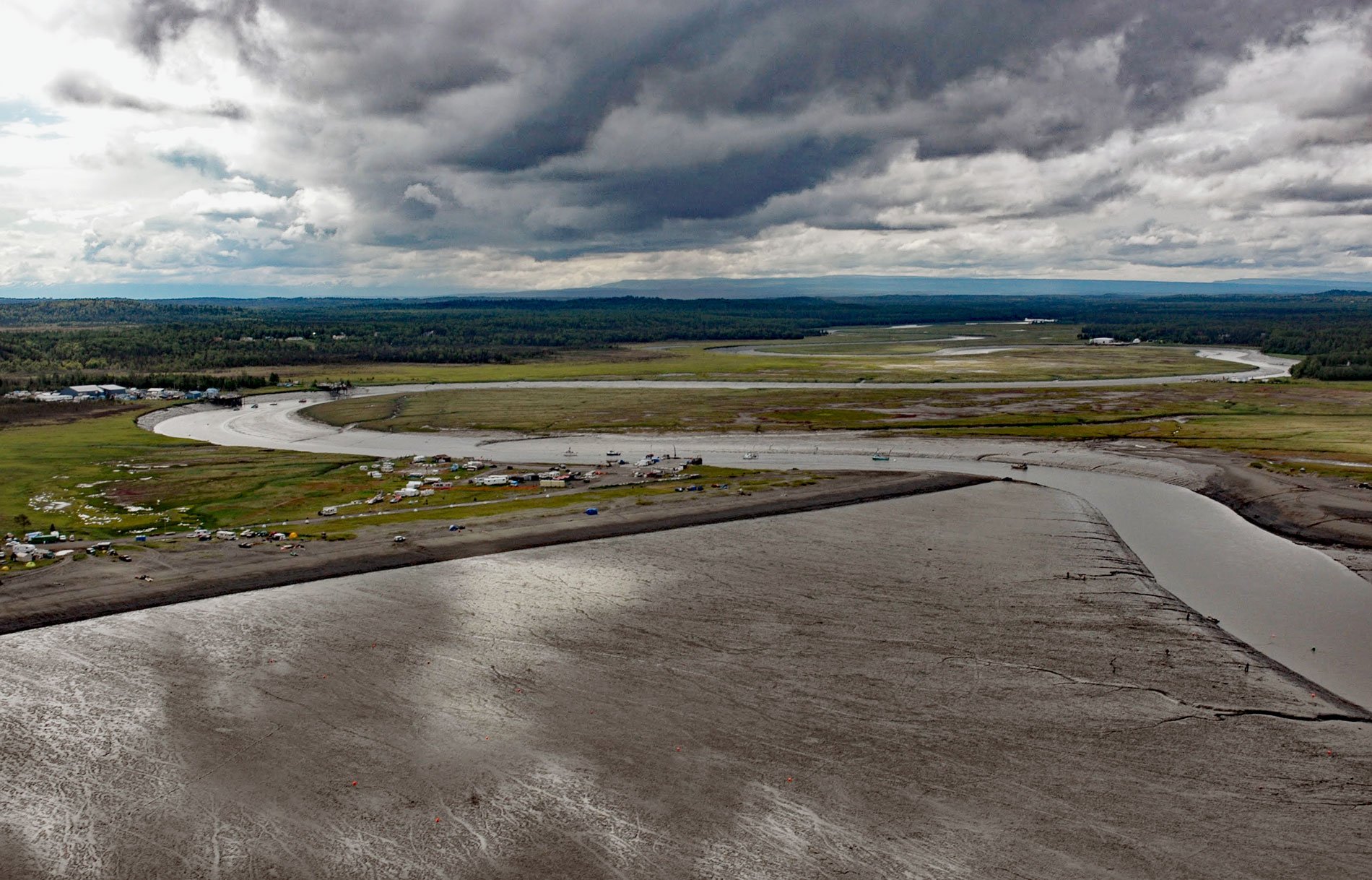
Kasilof River starts at the outlet of Tustumena Lake on the Kenai Peninsula and flows generally northwest for 17 miles (27 km) through the Kenai Lowland to Cook Inlet, draining a watershed of 93,275 acres (37,747 ha), about 51 miles (82 km) north-northeast of Homer and 13 miles (21 km) south-southwest of Kenai, Alaska. The river name is a Russian surname reported by Ilya G. Voznesensky in 1840 and published by Mikhail Tebenkov as ‘Reka Kasilov’. The Kenai Lowland is a broad plateau mantled by thick deposits left by glaciers that spread during the Moosehorn stade of the Naptowne glaciation during the Wisconsin period, which reached its maximum between 23,000 and 19,000 years ago. During this period, ice from the southern Kenai Mountains advanced westward into the mouth of Cook Inlet and coalesced with ice spreading eastward from accumulation centers on the Alaska Peninsula. Because worldwide sea level was dropping at this time, the ice barrier in southern Cook Inlet eventually grounded and formed a massive dam behind which meltwaters accumulated to form a lake of regional dimensions in the Cook Inlet basin. The Kasilof River watershed is formed by sediments deposited in the lake and consist of well stratified layers of silt and clay, with some sand and pebbly sand, especially near margins of ephemeral glacial and postglacial lakes. These deposits are thought to be typically covered by several feet of mud and peat.
The Kenai Lowland has been inhabited for at least 4500 years by at least six different cultural traditions. The archaeological record suggests that prehistorical maritime hunters from the Alaska Peninsula were well established 4000 years ago but abandoned the area around 1500 years ago. During the late prehistoric period from 1000 AD to the arrival Captain James Cook in 1778, the Dena’ina people inhabiting upper Cook Inlet followed a typically Athabaskan lifestyle, hunting terrestrial land mammals and catching salmon and trout from lakes and streams. The Dena’ina of the southern Kenai coast seemed to have adopted more of the maritime skills of their predecessors. In June 1787, the Russian ship Saint Pavel owned by the Lebedev-Lastochkin Company and commanded by Potap K. Zaikov entered the mouth of the Kenai River to establish a trading post called Pavlovskaia near a Dena’ina village called Shk’ituk’t. The Russians called the native people ‘Kenaitze‘ which is a Russian term for ‘people of the flats’. This settlement would later be known as Fort Nikolaevskaia and continued to be a Russian base of operations for the duration of their colonization of North America. They also established a fish camp or artel at the mouth of the Kasilof River and built a stockade and structures for drying fish and hay. An agricultural settlement of Dena’ina people grew up around the stockade and the area became known as the community of Kasilof in the 1800s.
In 1882, the Alaska Packing Company of San Francisco built the first salmon cannery in Cook Inlet on the right, or north bank near the mouth of the Kasilof River. Machinery was salvaged from the Old Sitka cannery which had been erected by the Cutting Packing Company. The Alaska Packing Company cannery was sold to the Arctic Fishing Company in 1885, and it operated for five years before the loss of its cannery ship forced it to close for the season. In 1893, the company was merged with the Alaska Packers Association and continued operations until 1905 when the plant burned during the height of the fishing season. It was rebuilt the next spring and operated until 1922. Finally, in 1938, the Kasilof plant was dropped from the active list of area canneries. Between 1882 and 1950 there were at least 4 other canneries operating on the Kasilof River. The early residents of Kasilof were fishermen who settled along the river and augmented their fishing income with trapping and big game guiding. Kasilof became a destination for big game hunters from the late 1890s until the 1930s. Homesteading after World War II brought an influx of newcomers to Kasilof, many of whom came intending to farm but ended up working in the salmon fishing industry. Read more here and here. Explore more of Kasilof River and Kenai Peninsula here:

