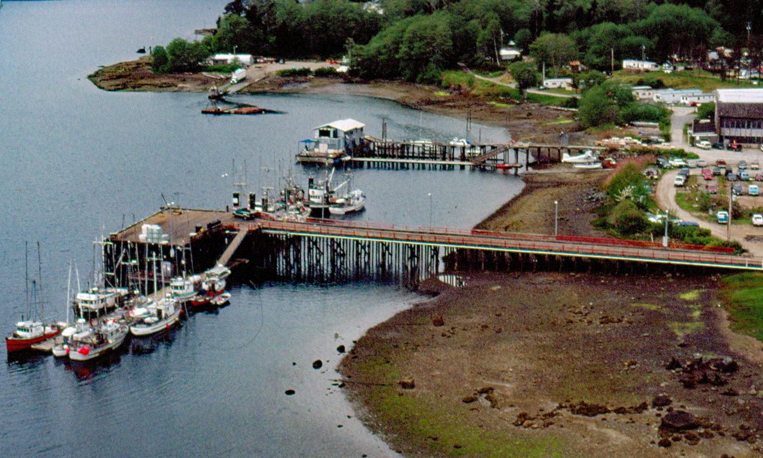
Coal Harbour is a community located on the north side of Holberg Inlet in Quatsino Sound, about 220 miles (355 km) northwest of the city of Vancouver and 11 miles (18 km) southwest of Port Hardy, British Columbia. Coal Harbour was named after a small and unsuccessful local coal mine that was founded in 1883. Holberg Inlet is named after the historical town of Holberg situated at the head of the fjord, which in turn was named after Baron Ludvig Holbert, a Danish essayist, philosopher, historian, and playwright of the 18th century. Holbert was the first writer to use Danish as a literary language. The form of the name was changed to Holberg in 1983. Quatsino Sound is the northernmost of five sounds on the west coast of Vancouver Island and contains numerous coastal inlets, bays, and islands. The complex topography results from the juxtaposition of sedimentary rocks and igneous intrusions on both sides of the Holberg Fault which is generally aligned with Holberg Inlet.
The landscape of Vancouver Island was carved, cut, and ground away by the action of glaciers flowing from the mainland Coast Mountains across the narrow channels and straits to the east as well as from centers of local island glaciers. The most recent glacial period was the Fraser Glaciation which occurred from 25,000 to 10,00 years ago, with the west coast of Vancouver deglaciated 17,500 years ago and the east coast by 16,500 years ago. Early humans undoubtedly occupied the postglacial landscapes of the Pacific Northwest coast, though the archaeological record is poor since much of the evidence of their presence was inundated by rising sea levels that followed the glacial recession. The historical Indigenous people of Quatsino Sound are the Hoyalas, the Gwat’sinux or Quatsinox, the Klaskinox, the Giopinox, and the Koskimox who are all part of the Kwakwaka’wakw people that speak the Kwakʼwala language. In 1868, the villages of Quatsino and Winter Harbour were the main population centers reported by HMS Scout. The tribal groups were eventually organized as the Quatsino First Nation as a band government during the process of colonization under the Indian Act.
In 1883, coal seams were discovered near Quatsino and a mining camp was established at Coal Harbour but attempts to extract the coal were unsuccessful. In 1918, early European settlers opened a general store and boarding house at Coal Harbour. A trail was built to Port Hardy and regular mail service started in 1920. In 1927, the first gravel road to Port Hardy was completed, finally linking Coal Harbour to the rest of the island. The Coal Harbour townsite was first developed by the Royal Canadian Air Force as a base for seaplane patrols in the North Pacific during World War II. The aircraft used for patrols were Supermarine Stranraers and later Canso-As, the Consolidated PBY Catalina flying boats built by Canadian Vickers. Anti-aircraft ordnance, ammunition storage for depth charges, and considerable concrete fortifications were built. Many of the original buildings still remain, such as the general store and the officer’s barracks immediately overlooking the harbour. After the war, the buildings were bought by Western Whaling Company, the forerunner of BC Packers Ltd, and whaling operations began. Whales were harpooned by a fleet of up to 5 small chaser boats with harpoon guns. Whales were landed using a steam windlass on the main slipway formerly used by seaplanes. The whalers caught mostly sei (2,153), sperm (1,108), and fin (837) whales. The plant was powered by two World War II U.S. destroyer steam engines. Canada Packers took over the facility in 1967 and it was sold for scrap, the last whaling station in British Columbia to close. See a short video about shore whaling in the early 1900s here. Read more here and here. Explore more of Coal Harbour and Holberg Inlet here:

