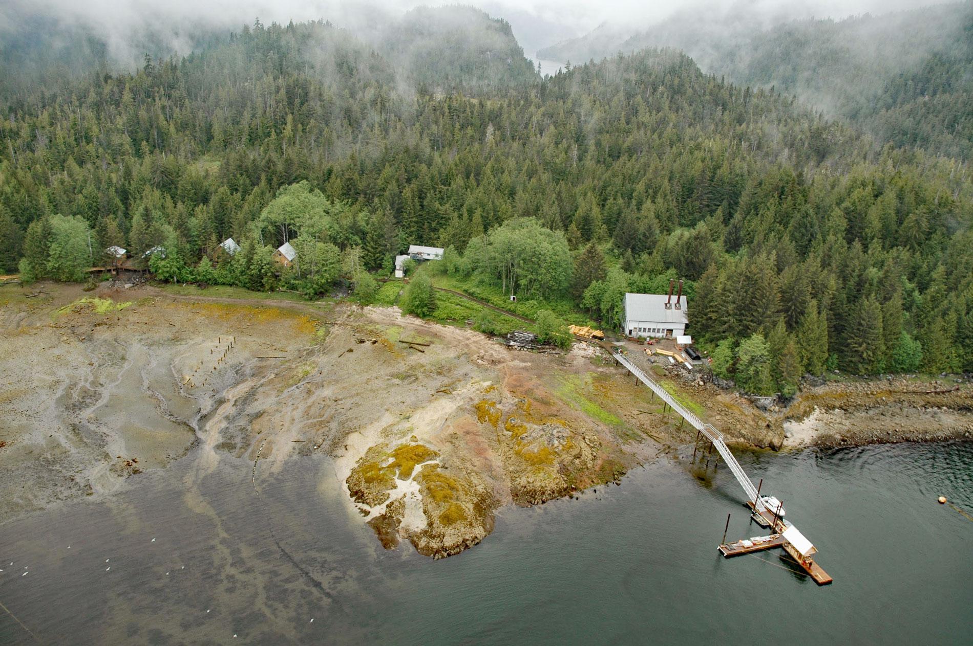
Gwent Cove is a small community at the site of the historical Hidden Inlet fishing village and cannery located adjacent to and west of the entrance to Hidden Inlet, an estuary that trends generally north for 6 miles (9.7 km) from the western shore of Pearse Canal, 45 miles (72 km) north of Prince Rupert and 61 miles (98 km) southeast of Ketchikan, Alaska. The local name for Gwent Cove is after a county in south-east Wales, United Kingdom, and was published on charts in 1936 by U.S. Coast and Geodetic Survey. The surrounding rocks are part of the Tracy Arm terrane and comprise granodiorite that developed from an igneous intrusion during the Tertiary or Cretaceous period. The northern shore of the cove consists of Quaternary sediments that were deposited by a receding glacier and subsequent river discharges.
Pearse Canal is a channel forming part of the Canada-United States border at the southern end of Southeast Alaska and adjacent to the mouth of Portland Inlet. It is on the northwest side of Wales and Pearse Islands, which are in British Columbia, Canada. The channel also forms part of the southwestern edge of Misty Fjords National Monument. The channel was named for William A. Pearse, who had been commander of HMS Alert, by Captain Daniel Pender in 1868 as part of a coastal survey by the steamship Beaver to define the lands purchased in 1867 by the United States from Russia. In 1903, Pearse Canal was established as the border between Canada and the United States as part of the Hay-Herbert Treaty, otherwise known as the Alaska Boundary Settlement.
In 1902, when Wales Island was still claimed to be in U.S. territory, a salmon cannery was built on the eastern shore of Pearse Canal, on the northwest coast of the island. But as a result of the 1903 Alaska Boundary Settlement, the American owners of the cannery forfeited possession of the facility. At the same time, a Canadian cannery at Hidden Inlet, situated 14 miles (23 km) further north on the west shore of Pearse Canal, suffered a reverse fate and was in United States territory. Today, the Hidden Inlet resort occupies the site of the former cannery. Read more here and here. Explore more of Gwent Cove and Pearse Canal here:

