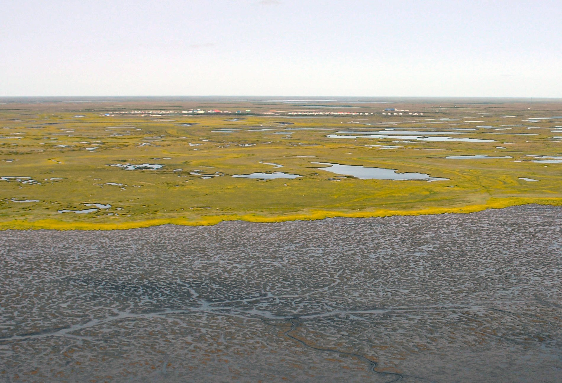
Kongiganak is a Central Yup’ik community situated on the eastern bank of the Kongnignanohk River that flows generally south for 40 miles (64 km) through a watershed of 29,718 acres (12,026 ha) in the Yukon Delta National Wildlife Refuge to the western shore of Kuskokwim Bay, about 69 miles (111 km) southwest of Bethel and 11 miles (18 km) east-northeast of Kwigillingok, Alaska. The name of the village was first reported as ‘Kongiganagamute’ and had a population of 175 in 1878 according to Edward W. Nelson of the U.S. Army Signal Corp who explored much of the Yukon-Kuskokwim Delta. At that time, the village was located on the shore of Kuskokwim Bay about 4.5 miles (7 km) east of Kwigillingok. The site was abandoned due to repeated flooding from the Bering Sea. In the 1960s, the current village of Kongiganak was settled by residents of Kwigillingok who sought higher ground and relief from floods. Kuskokwim Bay is the estuary of the Kuskokwim River, the second largest drainage basin in the state of Alaska, and the Yukon-Kuskokwim Delta is an alluvial flood plain also subjected to storm surges from the Bering Sea.
The Central Yup’ik people of the Yukon-Kuskokwim Delta region were historically very mobile, following the migration and seasonal availability of subsistence foods. Extensive trade networks throughout the Yukon-Kuskokwim Delta were established in the late 19th century, and by the time of Euro-American contact, the Yup’ik people in the region already had access to Eurasian goods from trade routes across the Bering Strait. Pastolik, or Pastuliarraq, on Pastol Bay near present-day Kotlik, was a trading center that connected these routes with the lower Yukon-Kuskokwim Delta region. The 19th century was a time of European expansion and development in the region and with it came waves of disease epidemics which had disastrous effects on the Indigenous peoples. In the early 20th century, the influence of missionaries coinciding with the influenza epidemics of 1900 and 1912 drastically changed the social and cultural identity of an entire generation within the region. Commercial fishing for salmon first took place in the Kuskokwim area in 1913, although in the early years, it was a quasi-commercial fishery with limited distribution. The catch was dried and sold as food for sled dogs during the 1930s when dog teams were the primary means of hauling freight to villages in western Alaska. Kongiganak residents still follow the traditional fishing and subsistence lifestyle and culture, and salmon fishing is the primary economic activity.
From 1952 to 2015, the Kongnignanohk River has widened adjacent to the village of Kongiganak from an average width of 90 feet (27 m) to 115 feet (35 m) due to bank erosion driven by storm surges, soil type, and prop wash from tugboats while barges unload cargo. In 2015, a revetment for erosion protection was placed by the U.S. Army Corp of Engineers on the eroding bank fronting the village. Critical village infrastructure is also being affected by permafrost degradation and flooding. Recently, pile-driving techniques in permafrost have been developed as an economical solution to many building foundation problems in permafrost soils and many of the village homes are now on steel piles. Since the early 2000s, Kongiganak has developed a community-scale wind-based power system designed to augment electric generation at low wind speeds and generate a surplus of electricity at modest to high wind speeds that are captured and stored in electric thermal storage devices to heat homes. Read more here and here. Explore more of Kongiganak and Kuskokwim Bay here:

