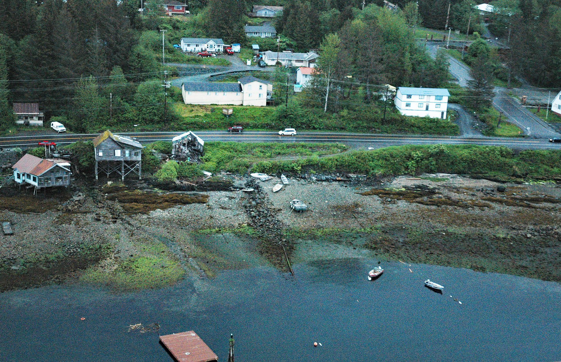
Saxman is a community on the west coast of Revillagigedo Island on Tongass Narrows across from Pennock Island, about 86 miles (138 km) northwest of Prince Rupert and 3 miles (5 km) southwest of Ketchikan, Alaska. The community is named after Samuel A. Saxman, a missionary and educator from Pennsylvania who was lost at sea in 1886 while scouting for a location to establish a new village for Tongass and Cape Fox Tlingit people. The village is situated on a protected beach that historically was used to land canoes. This part of Revillagigedo Island is characterized by steep mountainous terrain representing rocks of the Taku terrane. The Taku terrane is situated between the Coast Mountains batholith to the east and the Alexander terrane to the west. The rocks underlying Saxman are metamorphosed volcanics which are bordered to the east by metamorphosed sedimentary rocks. The volcanic rocks are mostly andesite or basalt that developed from igneous intrusions during the Jurassic or Cretaceous. The metasedimentary rocks are slate, phyllite, and greywacke which were partially metamorphosed by the magma intrusion.
The lands bordering Tongass Narrows are the traditional territory of both the Tongass and the Cape Fox Tlingit kwaans. A ‘kwaan’ is a Tlingit socio-geographical term referring to the people that inhabit the land. It is most commonly used to refer to a geographic region controlled by clans or house groups residing in a single winter village or several closely situated winter villages. The Cape Fox Kwaan historically inhabited the Behm Canal area, with a primary village located at Cape Fox. The Tongass Kwaan historically inhabited Prince of Wales Island but they were displaced in the 1700s by the northward migration of the Haida people from Haida Gwaii. The Tongass people moved eastward and by the late 1800s, a primary village site was located on Tongass Island near Dixon Entrance. Tongass Narrows and in particular the mouth of Ketchikan Creek were utilized by both the Cape Fox Kwaan and the Tongass Kwaan for summer fish camps. In 1868, the United States stationed a small military garrison on Tongass Island as the customs port for the newly purchased territory. In 1885, Dr. Sheldon Jackson, the federal agent for education in Alaska, met with the two head chiefs, Kah Shakes of Cape Fox and Ebbitts of Tongass to hear their concerns about the need for a school and their stories of the troubles that alcohol supplied by the traders had done to their traditional way of life.
Jackson decided against founding a new community for the Tongass and Cape Fox tribes and instead built a school at Loring which was the largest community south of Wrangell at the time and had a large cannery. In 1886, Samuel A. Saxman and his wife Elizabeth moved there to start the school; however, the Tlingit refused to move to Loring, a place they called Naha. The Saxmans were permitted to go to Fort Tongass for the winter and attempt to hold classes for the Tlingit children there but almost immediately agreed with the villagers that a new village separate from the bad influences of the existing community and garrison was needed. In December, Saxman, the Tlingit teacher Louis Paul, and a canoe man named Wah Koo Se, left Tongass in a canoe to search for a better location. When they didn’t return, a search party later found the broken canoe but no sign of the three men. With Saxman’s death, efforts to create a new school for the area temporarily stalled. In 1894, a conference was convened by Jackson for the leaders of the Cape Fox and Tongass tribes resulting in an agreement for the location of a new town site and a school at the lower end of Tongass Narrows, a place with a good beach and harbor, good water, room for a large village, and near traditional hunting and fishing grounds. By the fall of 1894, a sawmill was constructed and some villagers had already started putting up the first houses and the school building was under construction. Mr. John W. Young was the first teacher and missionary in the new village. In the 1930s, totem or ‘crest’ poles from the deserted villages at Cape Fox and Tongass were moved to the Saxman Totem Pole Park, one of the major cultural attractions in the area. Read more here and here. Explore more of Saxman and Revillagigedo Island here:

