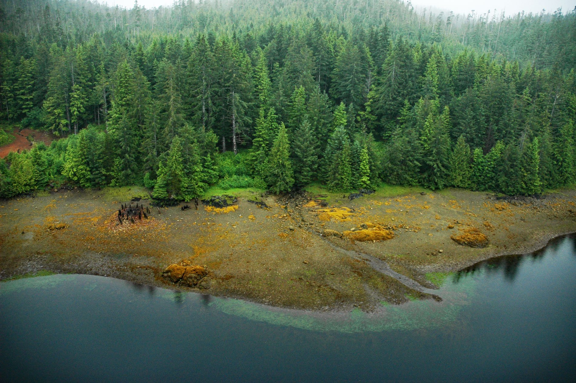
Hunter Bay is the estuary for several watersheds that support important sockeyes salmon populations and the site of a historical salmon cannery on the west coast of Prince of Wales Island near the abandoned village of Klinkwan, about 89 miles (143 km) northwest of Prince Rupert, British Columbia, and 42 miles (68 km) southwest of Ketchikan, Alaska. Hunter Bay is an arm of Cordova Bay about 2.5 miles (4 km) long with a branch that extends north for another 2.5 miles (4 km) to Biscuit Lagoon. The bay was first reported in 1897 by Captain Jefferson F. Moser on the USS Albatross while conducting systematic surveys of streams in Southeast Alaska to determine their sources and the abundance, movements, and habits of spawning salmon. The watersheds of Hunter Bay are formed by volcanic rocks of the Descon Formation that developed during the early Silurian and Ordovician and consist of basaltic to andesitic pillow flows, pillow breccia, and tuff breccia. The watersheds were subsequently carved out by repeated Pleistocene glaciations that deposited several terminal moraines near the bay entrance.
The ancestors of the Tlingit people probably did not establish themselves in Southeast Alaska until after the end of the Last Glacial Maximum. The earliest archaeological sites date from 10,000 to 6,500 years ago. Over the following 2,000 years, a distinctive culture and social organization developed. Around 5,000 years ago, the coastal art and aesthetic styles associated with the Pacific Northwest coast began to appear and by 3,000 years ago, the cultures were largely the same as those observed at the time of European contact. In the mid-18th century, the Haida migrated north as a result of internecine wars in Haida Gwaii and became established as the K´yák áannii, Kaigani Haida and inhabited four or five winter villages on the west coast of the Prince of Wales Archipelago including Howkan, Sukkwan, Klinkwan, and Koianglas. In the mid-1700s, Russians began exploring the region for the exploitation of sea otters. By the late 18th century, Russian, Spanish, English, and French explorers had made contact with Tlingit populations. The Alaska Purchase in 1867 led to further settlement and the rapid development of industrial fishing and mining. Some of the Kaigani Haida worked at the canneries and mining camps, living in tents and shacks. In 1911, the government pushed to relocate Kaigani Haida from the villages of Klinkwan, Howkan, and Sukkan to a new site named Hydaburg. Several families used the Klinkwan sites as a summer fish camp but the village was eventually abandoned.
A saltery was operating in Hunter Bay before 1896 when the Pacific Steam Whaling Company purchased the site and built a salmon cannery on the northern shore of the bay, about 1 mile (1.6 km) from the entrance. The main building, like all those of the Pacific Steam Whaling Company, was 270 feet (82 m) long, double-boarded, and painted brown. The company employed about 50 mostly Kaigani Haida fishermen and about 70 cannery workers who were mostly Chinese. The Haida traditional knowledge focused the fishing effort on 18 sockeye salmon streams with ten on Prince of Wales Island, two on Sukkwan Island, and six on Dall Island all located on the rugged Pacific fronting the outer coast of the island. Fishing was done from skiffs using drag and purse seines with the support of a tug named Alice and a launch named Minnie M. Several fish traps were also built and maintained by two steam pile drivers. In the first year of operation, the pack consisted of 15,386 cases of sockeye, 5,054 cases of coho, and 6,402 cases of pink salmon with 48 one-pound cans per case. In 1901, an industry consolidation occurred and the Pacific Steam Whaling Company joined with Pacific Packing & Navigation Company. The cannery was closed in 1904 and sold to Northwestern Fisheries, Inc. in 1905 which operated the facility until closing in 1930. The plant was sold to Pacific American Fisheries in 1933 but not operated and it fell into disrepair. Read more here and here. Explore more of Hunter Bay and Prince of Wales Island here:

