by CoastView | Jul 6, 2023 | 2026, Beaches, Best of 2023, Biodiversity, California, Communities, July 2026, Land Use, Natural History, Parks, Rivers
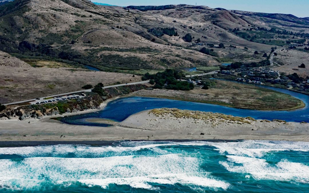
Listen to the article here https://coastview.org/wp-content/uploads/2026/03/SalmonCreek.mp3 Salmon Creek starts at an elevation of 570 feet (174 m) and flows generally southwest for 19 miles (31 km), draining a watershed of 22,487 acres (9,100 ha) between the Northern...
by CoastView | Jun 30, 2023 | 2026, Alaska, Communities, Developments, Embayments, Historical, June 2026, Land Use, Mines, Natural History
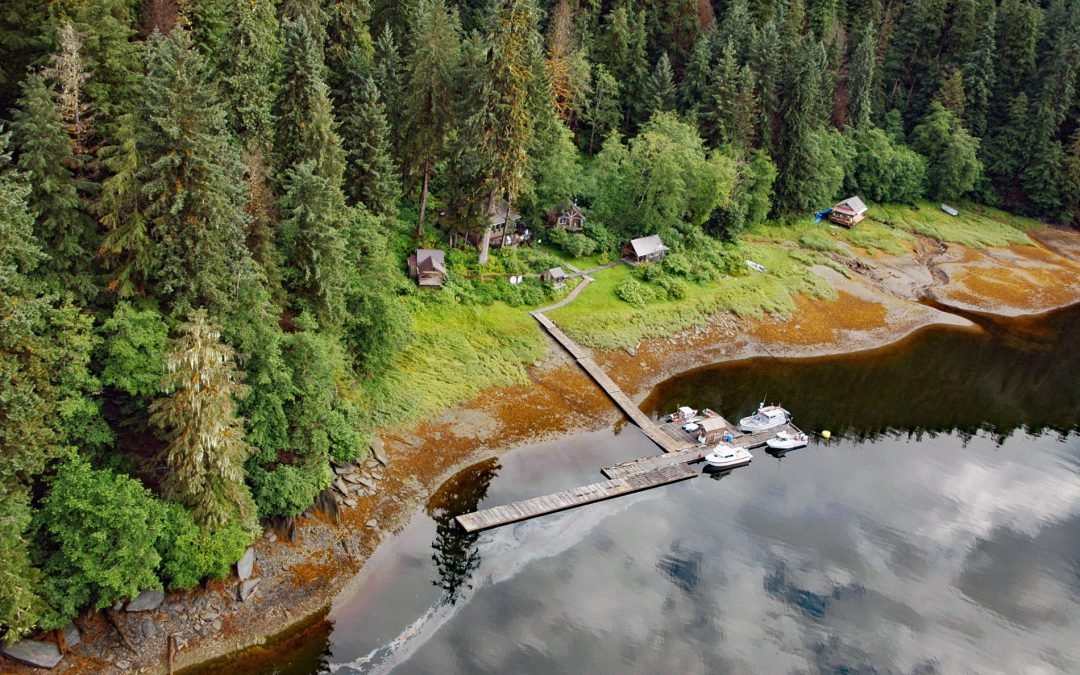
Listen to the article here https://coastview.org/wp-content/uploads/2026/03/WindhamBay.mp3 Windham is a settlement that historically supported mining operations along Spruce Creek at the head of Windham Bay, about 63 miles (102 km) southeast of Juneau and 57 miles (92...
by CoastView | Jun 14, 2023 | 2026, Beaches, Coastal Features, Communities, Historical, June 2026, Land Use, Natural History, Oregon
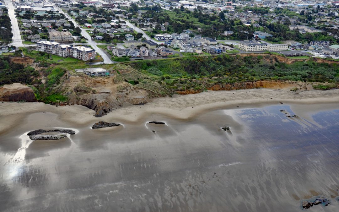
Listen to the article here https://coastview.org/wp-content/uploads/2026/02/NyeBeach.mp3 Nye Beach is situated in Newport between Agate Beach to the north and Yaquina Beach to the south, about 22 miles (35 km) south of Lincoln City and 1.9 miles (3 km) north of...
by CoastView | Jun 5, 2023 | 2026, British Columbia, Coastal Features, Communities, Developments, Embayments, Historical, Islands, June 2026, Land Use, Natural History
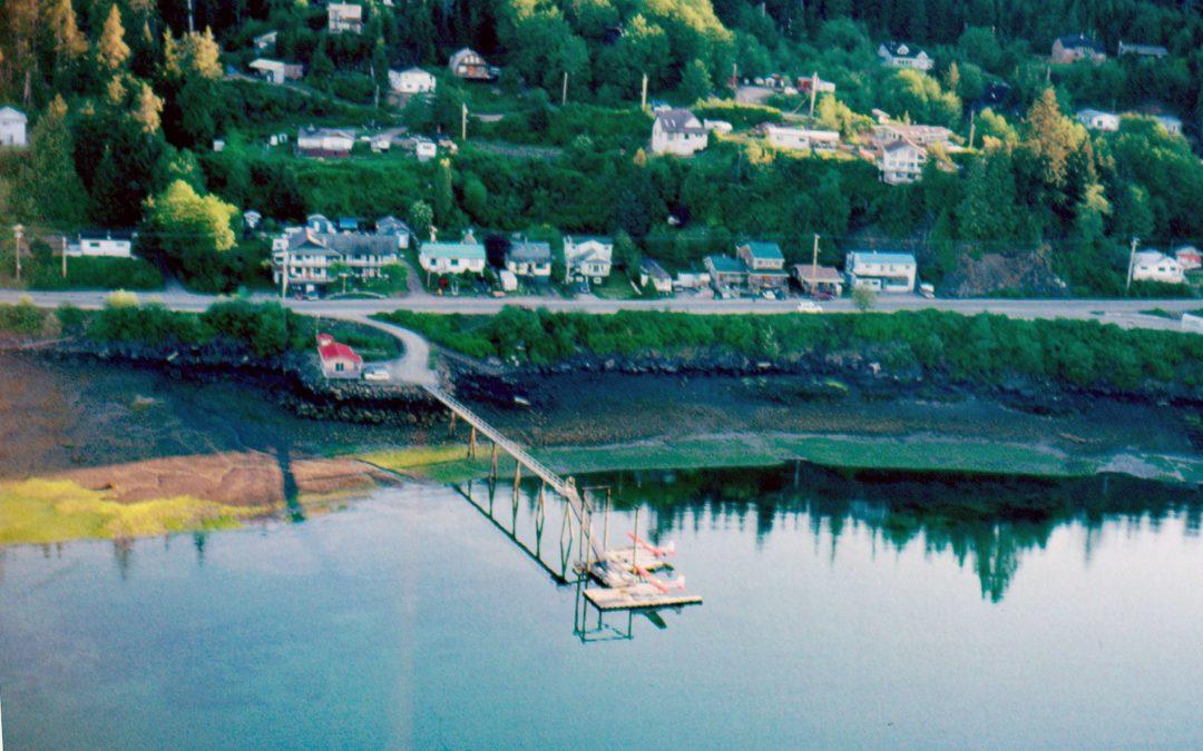
Listen to the article here https://coastview.org/wp-content/uploads/2026/02/QueenCharlotte.mp3 The community of Daajing Giids, historically known as Queen Charlotte, is situated on the northern shore of Skidegate Inlet on Graham Island in the Haida Gwaii archipelago,...

by CoastView | Jun 4, 2023 | 2026, Alaska, Chemical Pollution, Communities, Developments, Embayments, Historical, Islands, June 2026, Land Use, Mines, Natural History
Listen to the article here https://coastview.org/wp-content/uploads/2026/02/LaToucheIsland.mp3 The Beatson Copper Mine and the abandoned mining community of Latouche sit at the base of Mount Beatson, near Powder Point at the northwest tip of Latouche Island in Prince...
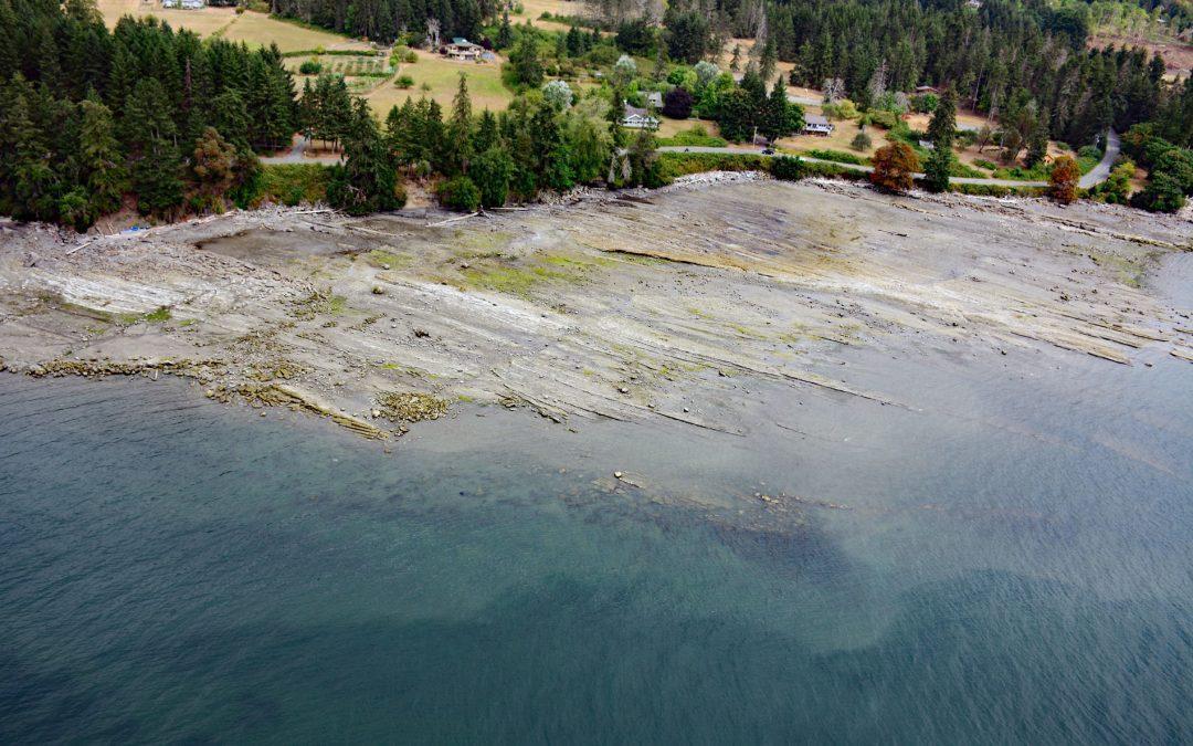
by CoastView | May 29, 2023 | 2026, British Columbia, Coastal Features, Communities, Islands, Land Use, May 2026, Natural History
Listen to the article here https://coastview.org/wp-content/uploads/2026/02/FalseNarrows.mp3 False Narrows is a waterway 10 to 30 feet (3-9 m) deep, navigable only by small boats with local knowledge, and about 1.3 miles (2 km) long, separating Gabriola Island to the...