• CoastView
  • Go Exploring
    • Overview
    • Categories
      • Beaches
      • Canneries
      • Glaciers
      • Lighthouses
      • Shipwrecks
      • Waterfalls
      • Alaska
      • British Columbia
      • California
      • Oregon
      • Washington
    • This Month
    • Last Month
    • Best of 2025
    • Best of 2024
    • Best of 2023
    • Archives
  • Featured Article
  • Map Explorer
  • Subscribe
    • Sign up
    • Log in
  • Donate
  • About
    • About Us
    • Contributors
    • Terms of Use
    • Privacy Policy
    • Image Use
    • Contact Us
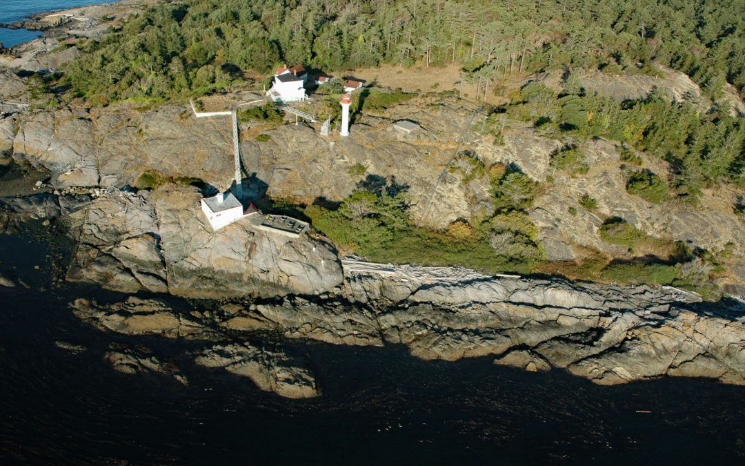
Tillamook Rock, Oregon Islands National Wildlife Refuge

Tillamook Rock, Oregon Islands National Wildlife Refuge

by CoastView | Jun 22, 2024 | 2024, Historical, Islands, Lighthouses, Oregon

Tillamook Rock is the site of a deactivated lighthouse located about 1.3 miles (2km) west of Tillamook Head in the Oregon Islands National Wildlife Refuge, about 20 miles (32 km) southwest of Astoria and 34 miles (39 km) north-northwest of Tillamook, Oregon. The...
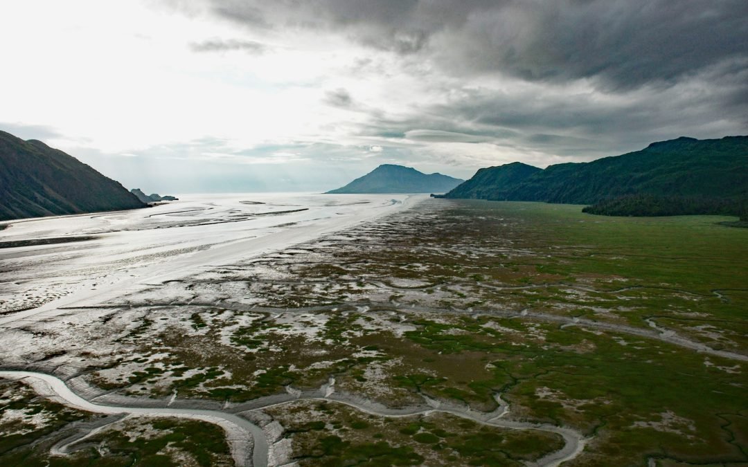
Arness Dock, Nikiski Bay

Arness Dock, Nikiski Bay

by CoastView | Jun 21, 2024 | 2024, Alaska, Developments, Embayments, Historical, Shipwrecks

Arness Dock is in Nikiski Bay on the Kenai Peninsula, about 58 miles (94 km) southwest of Anchorage and 13 miles (21 km) north-northwest of Kenai, Alaska. Nikiski Bay is named for a former Dena’ina village and boat landing reported as “Nikishka No....
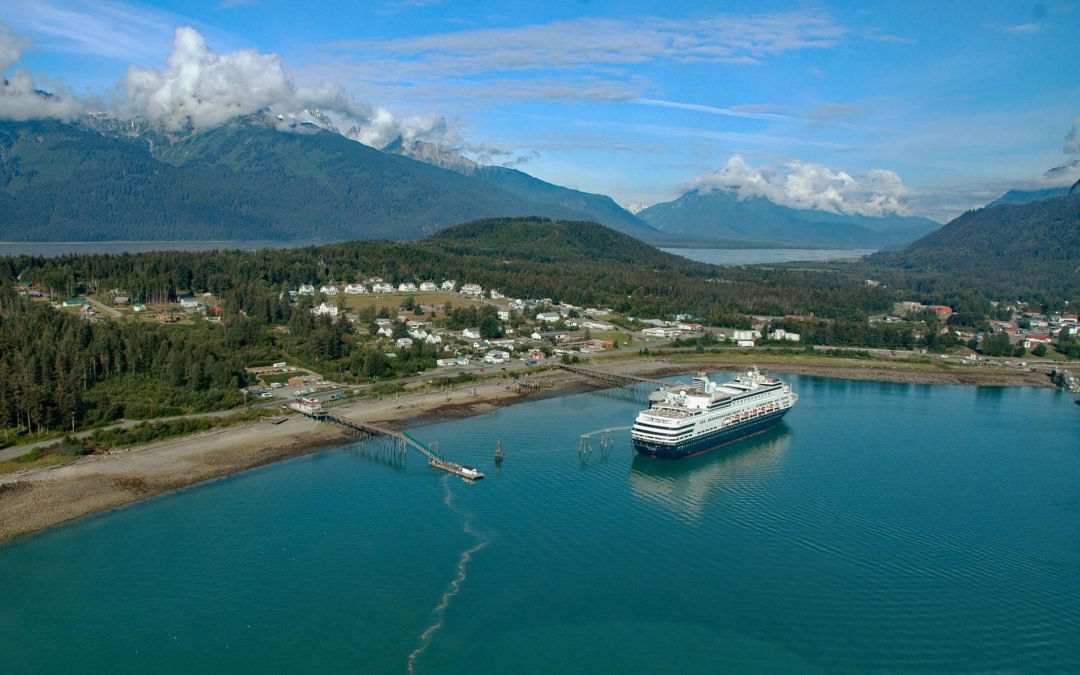
Active Pass, Gulf Islands

Active Pass, Gulf Islands

by CoastView | Jun 20, 2024 | 2024, British Columbia, Coastal Features, Headlands, Historical, Lighthouses, Parks, Shipwrecks

Active Pass is a narrow strait about 3.4 miles (5.5 km) long separating Mayne Island from Galiano Island in the southern Gulf Islands, about 16.4 miles (26.5 km) north-northeast of Sidney and 12.5 miles (20 km) southwest of Tsawwassen, British Columbia. The pass was...
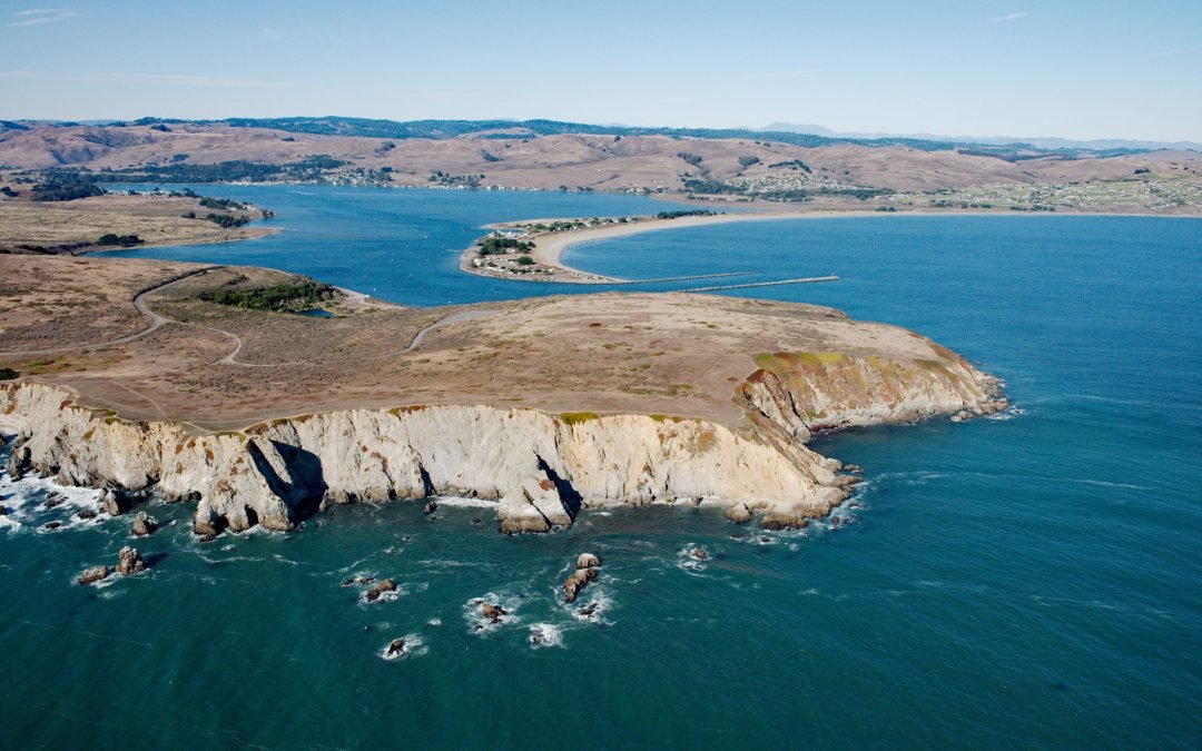
Scotch Cap Light, Unimak Pass

Scotch Cap Light, Unimak Pass

by CoastView | Jun 19, 2024 | 2024, Alaska, Coastal Features, Developments, Headlands, Historical, Lighthouses, Shipwrecks

The Scotch Cap Light is located on the southwest corner of Unimak Island, and the eastern shore of Unimak Pass, about 714 miles (1151 km) southwest of Anchorage and 81 miles (131 km) northeast of Dutch Harbor, Alaska. The light provides a navigational aid at the...
Icy Bay, Wrangell-Saint Elias National Park and Preserve

Icy Bay, Wrangell-Saint Elias National Park and Preserve

by CoastView | Jun 18, 2024 | 2024, Alaska, Coastal Features, Embayments, Glaciers, Historical, Parks

Icy Bay is on the Gulf of Alaska coast in Wrangell-Saint Elias National Park and Preserve, about 154 miles (248 km) southeast of Cordova and 65 miles (105 km) northwest of Yakutat, Alaska. Until the beginning of the 20th century, the bay entrance was blocked by a...
« Older Entries
Next Entries »

Search

Recent Posts

  • Turkey Head, Oak Bay
  • The Salt Chuck, Hobart Bay
  • Claybluff Point, Icy Cape
  • Little River Punchbowl, Mendocino
  • Mount Saint Elias, Icy Bay
  • Proposal Rock, Neskowin Creek
Coastview

ABOUT COASTVIEW SCIENCE

Coastview is a science education non-profit. The contents of this website, including but not limited to images and text, are intended for educational and informational purposes only. Our mission is to promote exploration of the Alaska, Pacific Northwest, and California coasts through pictures and stories. Please contact us with suggestions, comments, or to report errors.

Thanks for visiting!

Contact Us
  • Follow
  • Follow
  • Follow
  • Follow
  • Follow

Terms of use

Privacy Policy

Copyright 2018-2026. Coastview Science. All rights reserved.

No images or other content displayed on this web site may be reproduced, digitized, stored in a retrieval system, made available via any computer or wireless networks, transmitted or circulated in any form or by any means, without prior written permission of the copyright owner