• CoastView
  • Go Exploring
    • Overview
    • Categories
      • Beaches
      • Canneries
      • Glaciers
      • Lighthouses
      • Shipwrecks
      • Waterfalls
      • Alaska
      • British Columbia
      • California
      • Oregon
      • Washington
    • This Month
    • Last Month
    • Best of 2025
    • Best of 2024
    • Best of 2023
    • Archives
  • Featured Article
  • Map Explorer
  • Subscribe
    • Sign up
    • Log in
  • Donate
  • About
    • About Us
    • Contributors
    • Terms of Use
    • Privacy Policy
    • Image Use
    • Contact Us
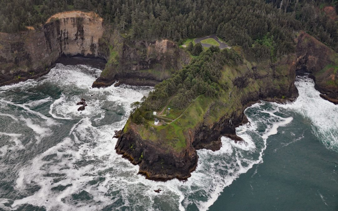
Cape Disappointment, Columbia River

Cape Disappointment, Columbia River

by CoastView | Apr 20, 2024 | 2024, Coastal Features, Developments, Land Use, Lighthouses, Natural History, Parks, Rivers, Washington

Cape Disappointment is a prominent headland and navigational landmark with a historic lighthouse on the north side of the Columbia River, 12 miles (19 km) northwest of Astoria, and 2.2 miles (3.5 km) south of Ilwaco, Washington. The cape was named in 1788 by British...
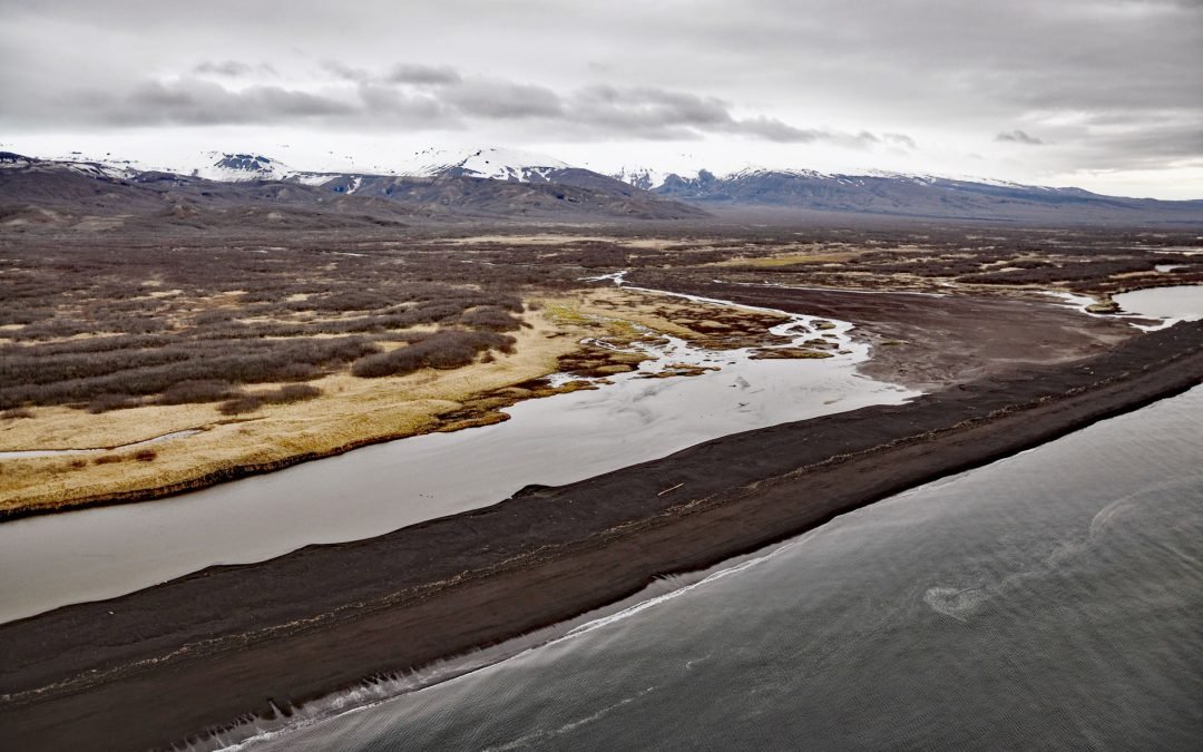
Cape Saint Elias, Kayak Island

Cape Saint Elias, Kayak Island

by CoastView | Apr 19, 2024 | 2024, Alaska, Coastal Features, Headlands, Islands, Land Use, Lighthouses, Natural History

Cape Saint Elias comprises a prominent headland and Pinnacle Rock, and is the site of a historic lighthouse at the southwest end of Kayak Island, 172 miles (277 km) west of Yakutat and 62 miles (100 km) southeast of Cordova, Alaska. The headland was named by Vitus...
Teahwhit Head, La Push

Teahwhit Head, La Push

by CoastView | Apr 18, 2024 | 2024, Coastal Features, Headlands, Historical, Land Use, Natural History, Parks, Shipwrecks, Washington

Teahwhit Head is a rocky headland with a natural sea arch and the site of a historical shipwreck on the coast of Olympic National Park in the Olympic Coast National Marine Sanctuary, about 12 miles (19 km) southwest of Forks and 2.8 miles (4.5 km) south-southeast of...
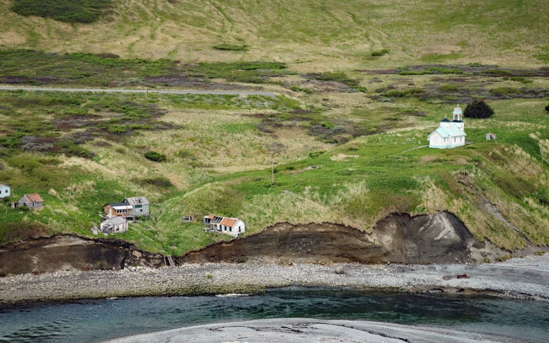
Delarof Harbor, Unga Island

Delarof Harbor, Unga Island

by CoastView | Apr 17, 2024 | 2024, Alaska, Biodiversity, Communities, Embayments, Historical, Islands, Land Use, Mines, Natural History

Delarof Harbor is an embayment and the site of the historical village of Unga on the southeast coast of Unga Island, the largest of the Shumagin Islands, about 73 miles (118 km) southwest of Perryville and 9.5 miles (15 km) south of Sand Point, Alaska. The harbor was...
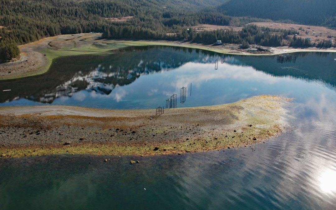
The Hulks, Powell River

The Hulks, Powell River

by CoastView | Apr 16, 2024 | 2024, British Columbia, Coastal Features, Communities, Developments, Land Use, Natural History, Rivers, Shipwrecks

The Hulks is a floating breakwater consisting of ship hulls anchored off the mouth of Powell River originally to protect a log pond for a pulp and paper mill, about 28 miles (45 km) southeast of Campbell River and 2 miles (3.2 km) north-northwest of the community of...
« Older Entries
Next Entries »

Search

Recent Posts

  • Salmon River Estuary, Cascade Head
  • Kincaid Park, Point Campbell
  • Turkey Head, Oak Bay
  • The Salt Chuck, Hobart Bay
  • Claybluff Point, Icy Cape
  • Little River Punchbowl, Mendocino
Coastview

ABOUT COASTVIEW SCIENCE

Coastview is a science education non-profit. The contents of this website, including but not limited to images and text, are intended for educational and informational purposes only. Our mission is to promote exploration of the Alaska, Pacific Northwest, and California coasts through pictures and stories. Please contact us with suggestions, comments, or to report errors.

Thanks for visiting!

Contact Us
  • Follow
  • Follow
  • Follow
  • Follow
  • Follow

Terms of use

Privacy Policy

Copyright 2018-2026. Coastview Science. All rights reserved.

No images or other content displayed on this web site may be reproduced, digitized, stored in a retrieval system, made available via any computer or wireless networks, transmitted or circulated in any form or by any means, without prior written permission of the copyright owner