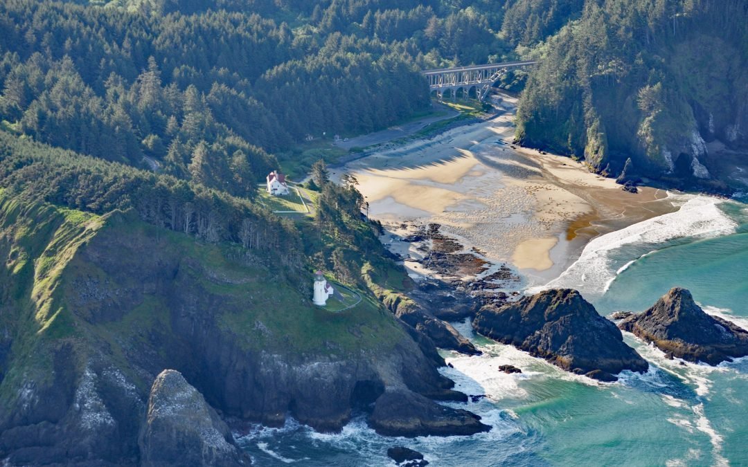
by CoastView | Dec 5, 2025 | 2025, Beaches, Coastal Features, December 2025, Headlands, Historical, Land Use, Lighthouses, Oregon, Parks
Listen to the article here https://coastview.org/wp-content/uploads/2025/12/HecetaHead.mp3 Heceta Head Lighthouse, located on the Heceta headland at an elevation of 205 feet (62 m), is approximately 13 miles (21 km) north of Florence and 13 miles (21 km) south of...

by CoastView | Nov 21, 2025 | 2025, Beaches, Embayments, November 2025, Oregon
Listen to the article here https://coastview.org/wp-content/uploads/2025/11/Salishan.mp3 Salishan Spit separates the Pacific Ocean from Siletz Bay and is located 2.5 miles (4 km) south of Lincoln City and 3 miles (4.8 km) north of Gleneden Beach, Oregon. The name...

by CoastView | Nov 17, 2025 | 2025, Beaches, California, November 2025, Rivers
Listen to the article here https://coastview.org/wp-content/uploads/2025/07/Bean-Hollow.mp3 Arroyo de Los Frijoles and Pebble Beach are in Bean Hollow State Park, located 17.5 miles (28.2 km) south of Half Moon Bay and 3 miles (4.8 km) south of Pescadero, California....
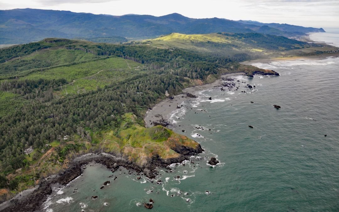
by CoastView | Nov 8, 2025 | 2025, Beaches, Headlands, November 2025, Oregon
Listen to the article here https://coastview.org/wp-content/uploads/2025/07/Hubbard-Mound.mp3 Hubbard Mound is a coastal headland and the site of a historical beach placer mining prospect near the community of Nesika Beach, 1 mile (1.6 km) north of Otter Point, and...
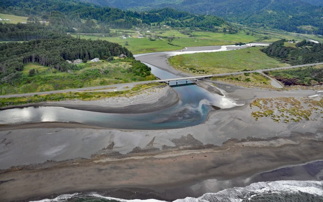
by CoastView | Nov 2, 2025 | 2025, Beaches, Biodiversity, Coastal Features, Historical, Land Use, Natural History, November 2025, Oregon, Parks, Rivers
Listen to the article here https://coastview.org/wp-content/uploads/2025/07/Pistol-River.mp3 Pistol River flows generally southwest for 21 miles (34 km) to the Pistol River State Scenic Viewpoint overlooking the Pacific Ocean near the community of Pistol River, about...

by CoastView | Oct 28, 2025 | 2025, Beaches, Biodiversity, California, Coastal Features, Developments, Embayments, Historical, Land Use, Natural History, October 2025, Rivers
Listen to the article here https://coastview.org/wp-content/uploads/2025/07/Cottoneva-Creek.mp3 Cottoneva Creek originates at an elevation of approximately 1,300 feet (400 m) in the Coast Range and flows generally south-southwest for 7 miles (11 km) to Rockport Bay,...