
by CoastView | Aug 26, 2025 | 2025, Beaches, California, Coastal Features, Communities, Headlands, Historical, Land Use, Lighthouses
Listen to the article here https://coastview.org/wp-content/uploads/2025/06/Santa-Barbara.mp3 The Santa Barbara Lighthouse is located between the East Mesa and West Mesa neighborhoods, approximately 2 miles (3 km) west of the Santa Barbara Harbor in Santa Barbara,...

by CoastView | Aug 19, 2025 | 2025, Biodiversity, California, Coastal Features, Communities, Historical, Land Use, Parks, Rivers
Listen to the article here https://coastview.org/wp-content/uploads/2025/06/Jackass-Creek.mp3 Jackass Creek flows generally west for 2.5 miles (4 km) to the Pacific Ocean, about 18 miles (30 km) north-northwest of Westport and 14 miles (22.5 km) southeast of Shelter...

by CoastView | Aug 12, 2025 | 2025, Biodiversity, California, Coastal Features, Communities, Embayments, Historical, Land Use, Natural History, Rivers
Listen to the article here https://coastview.org/wp-content/uploads/2025/06/Albion-River.mp3 Albion River flows generally west-southwest for 18 miles (29 km) to the Mendocino Coast, about 22 miles (35 km) north of Point Arena and 6 miles (10 km) south-southeast of...

by CoastView | Aug 5, 2025 | 2025, Beaches, California, Coastal Features, Historical, Land Use, Natural History, Parks, Rivers
Listen to the article here https://coastview.org/wp-content/uploads/2025/06/Pfeiffer-Beach.mp3 Sycamore Creek flows to Pfeiffer Beach on the Big Sur coast, about 26 miles (42 km) south of Monterey and 21 miles (34 km) northwest of Lucia, California. The stream starts...
by CoastView | Jul 29, 2025 | 2025, Beaches, Biodiversity, California, Chemical Pollution, Coastal Features, Freshwater, Historical, Land Use, Natural History, Rivers
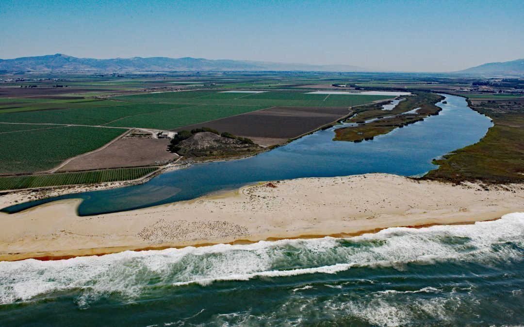
Listen to the article here https://coastview.org/wp-content/uploads/2025/06/Salinas-River.mp3 The Salinas River begins in the central California Coast Ranges and flows 175 miles (282 km) generally northwest to Monterey Bay, approximately 12 miles (19 km)...
by CoastView | Jul 22, 2025 | 2025, Biodiversity, California, Coastal Features, Historical, Land Use, Natural History, Parks, Rivers
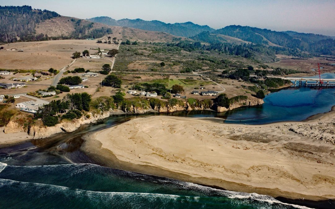
Listen to the article here https://coastview.org/wp-content/uploads/2025/06/Ten-MIle.mp3 The Ten Mile River flows southwest for 7 miles (11 km) to the Pacific Ocean at the northern border of MacKerricher State Park, about 9 miles (15 km) north-northeast of the Noyo...
