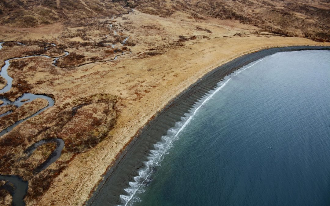
by CoastView | Jun 4, 2024 | 2024, Alaska, Beaches, Communities, Embayments, Historical, Islands
Ugadaga Bay is part of Beaver Inlet, one of the large embayments nearly bisecting Unalaska Island in the Eastern Aleutians, about 141 miles (227 km) southwest of False Pass and 5.5 miles (9 km) southeast of Dutch Harbor, Alaska. In 1888, Beaver Inlet was known as Sea...
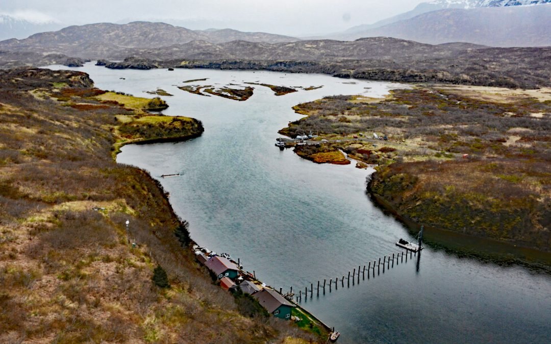
by CoastView | Jun 3, 2024 | 2024, Communities, Developments, Embayments, Natural History, Rivers
Chignik River starts at Black Lake and flows south for about 8 miles to Chignik Lake, which is about 7 miles (11 km) long, and then the river continues flowing east for another 2 miles (3.2 km) to Chignik Lagoon, past the fish weir located about 12 miles (19 km)...
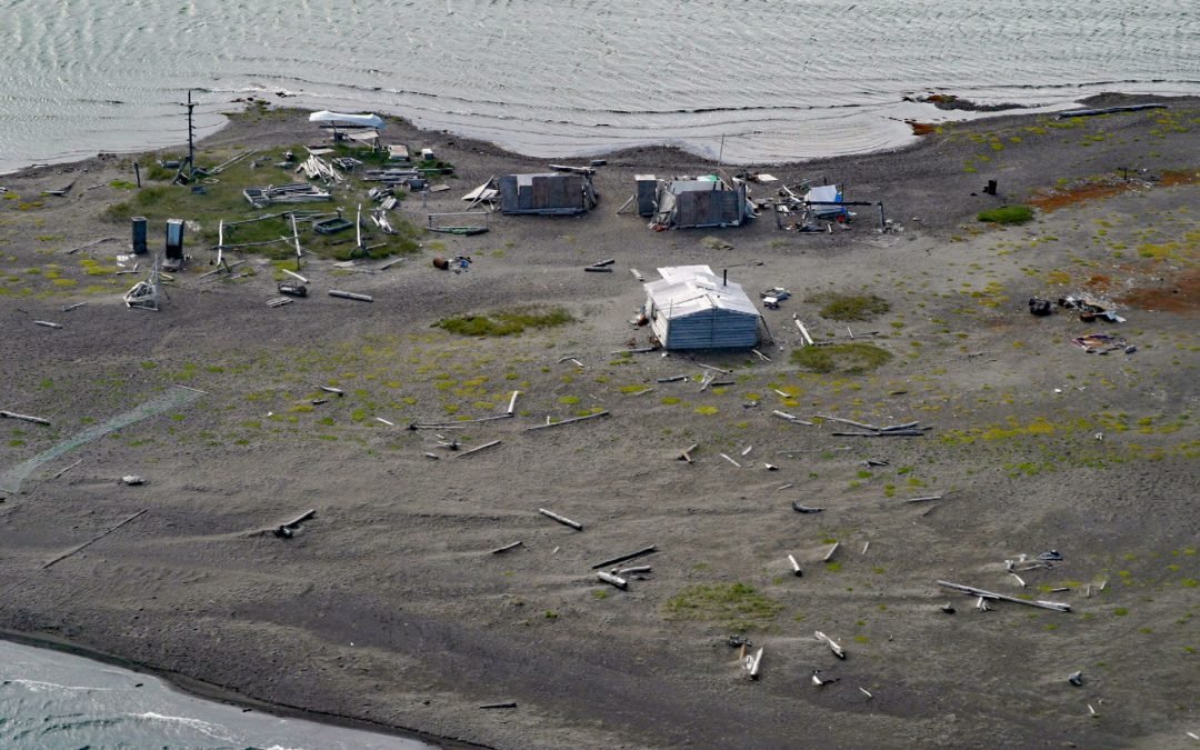
by CoastView | Jun 2, 2024 | 2024, Alaska, Beaches, Coastal Features, Communities, Developments, Historical
Griffin Point, also called Uqsruqtalik in the Iñupiat language, is the site of a traditional fish camp on the Beaufort Sea in the Arctic National Wildlife Refuge, about 240 miles (387 km) west-northwest of Tuktoyuktuk and 15 miles (24 km) southeast of Kaktovik,...
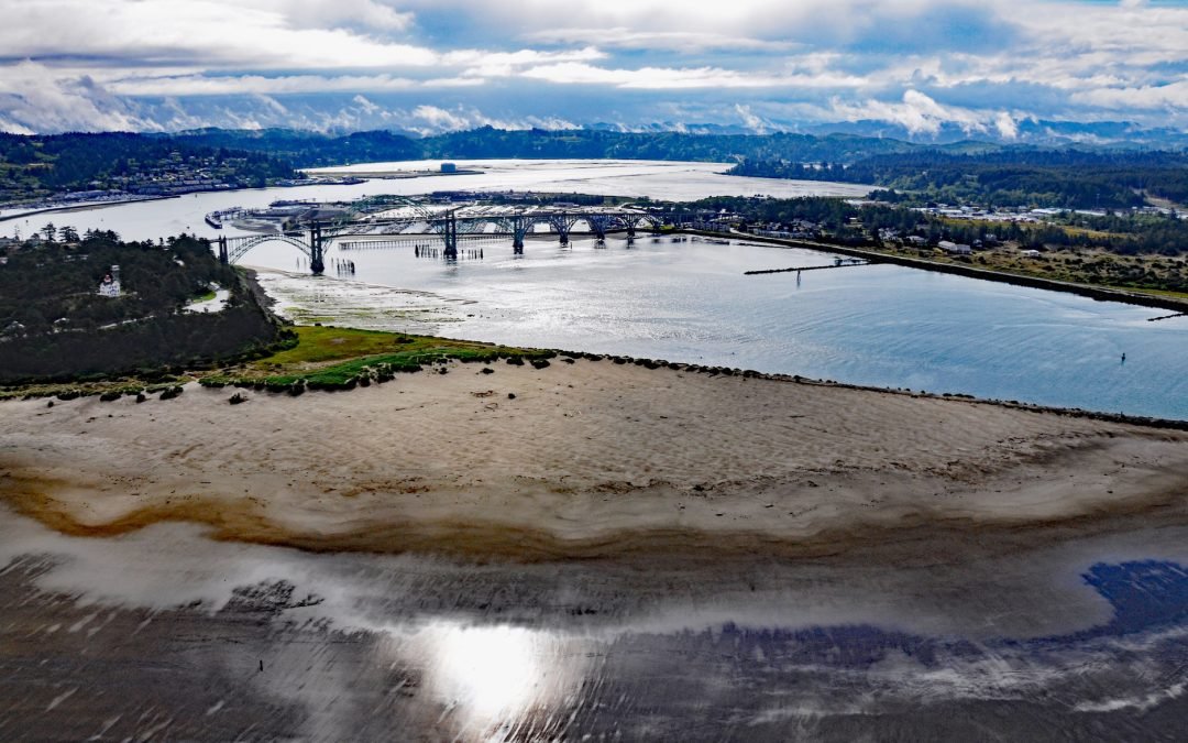
by CoastView | Jun 1, 2024 | 2024, Communities, Developments, Embayments, Oregon
Newport is a coastal community on Yaquina Bay on the central Oregon coast, about 39 miles (63 km) west of Corvallis and 23 miles (37 km) south of Lincoln City, Oregon. Yaquina Bay is an estuary, approximately 2,048 acres (829 ha) in area, with freshwater input from...
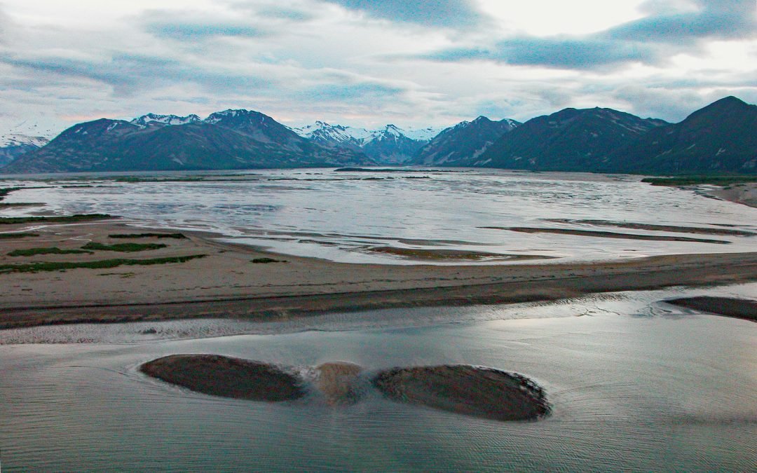
by CoastView | May 31, 2024 | 2024, Alaska, Communities, Embayments, Historical, Parks, Rivers
Katmai Bay is about 9 miles (14.5 km) across, located at the mouth of the Katmai River on the Shelikof Strait coast of the Alaska Peninsula in Katmai National Park and Preserve, about 93 miles (150 km) west-northwest of Kodiak and 77 miles (124 km) southeast of King...

by CoastView | May 30, 2024 | 2024, Alaska, Communities, Developments, Embayments
Williamsport is a boat landing and seasonal community at the mouth of Williams Creek in the Chigmit Mountains on the west shore of Iliamna Bay on Cook Inlet, about 75 miles (121 km) west of Homer and 43 miles (70 km) east of Iliamna, Alaska. The community is located...
