
by CoastView | Mar 8, 2024 | 2024, Beaches, Biodiversity, Coastal Features, Communities, Land Use, Natural History, Parks, Rivers, Washington
Hoh River starts from the terminus of the Hoh Glacier at an elevation of roughly 4,200 feet (1,280 m) on the northeast flank of Mount Olympus in Olympic National Park and flows generally west-southwest for 56 miles (90 km) draining a watershed of 191,360 acres (77,441...
by CoastView | Mar 4, 2024 | 2024, Alaska, Beaches, Biodiversity, Climate Change, Coastal Features, Embayments, Glaciers, Land Use, Natural History, Parks
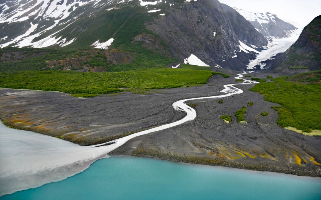
Dinglestadt Glacier has two land terminating lobes that straddle a watershed divide in the Kenai Mountains, with a minor lobe descending southeast for 4 miles (6 km) from an elevation of roughly 3300 feet (1006 m) to a tidal delta on the western shore of McCarty...

by CoastView | Feb 27, 2024 | 2024, Alaska, Coastal Features, Embayments, Glaciers, Land Use, Natural History, Parks
McBride Glacier starts from a series of cirques at elevations near 5500 feet (1676 m) on the southern flank of the Takhinsha Mountains in Glacier Bay National Park and Preserve and flows generally south for roughly 10 miles (16 km) to McBride Inlet which connects to...
by CoastView | Feb 24, 2024 | 2024, Beaches, Coastal Features, Developments, Embayments, Headlands, Land Use, Lighthouses, Parks, Washington
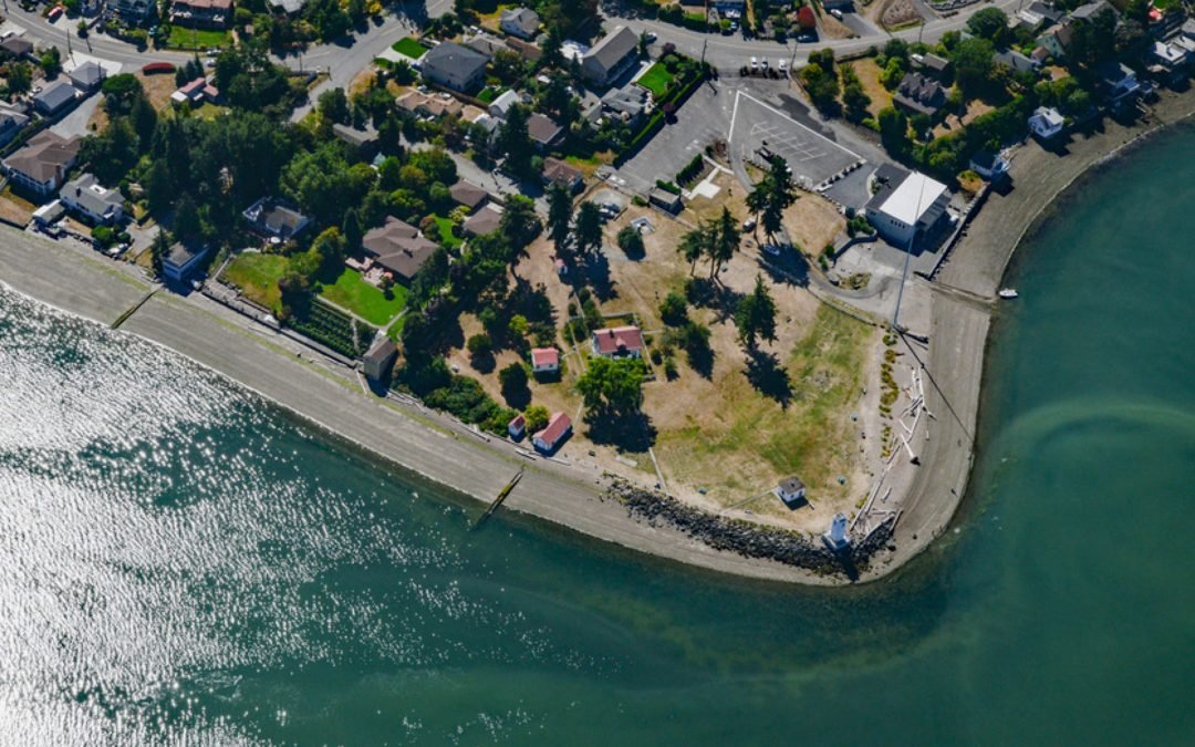
Browns Point is a conspicuous landmark in Puget Sound located at the southern end of East Passage and at the entrance to Commencement Bay, about 21 miles (34 km) south-southwest of Seattle and 4 miles (6.5 km) north of Tacoma, Washington. In May 1841, the U.S....
by CoastView | Feb 22, 2024 | 2024, Alaska, Biodiversity, Coastal Features, Embayments, Land Use, Natural History, Parks, Rivers
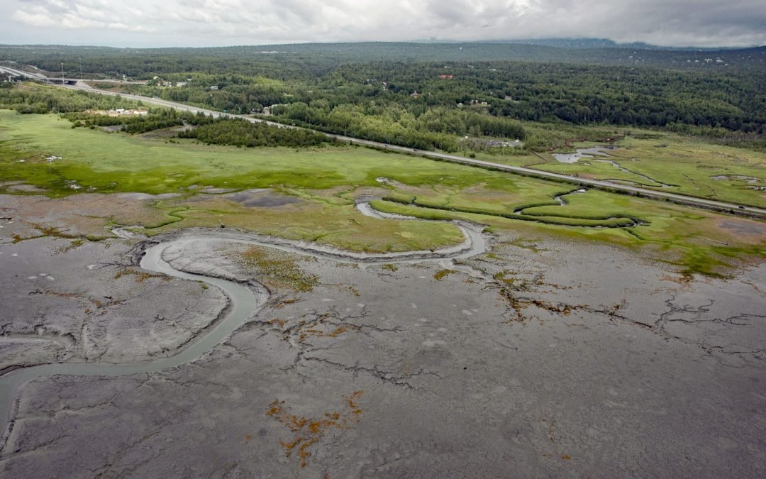
Rabbit Creek starts at the outlet of Rabbit Lake, at the base of the west flank of North Yuyanq’ Ch’ex in the Chugach Mountains at an elevation of 3,082 feet (940 m), and flows generally west-northwest for 26 miles (42 km) draining a watershed of 9,152 acres (3,704...

by CoastView | Feb 18, 2024 | 2024, Biodiversity, California, Coastal Features, Land Use, Natural History, Parks, Rivers, Sea Caves
Devil’s Punchbowl is a sinkhole formed by a collapsed sea cave over 70 feet (21 m) deep and 100 feet (30 m) in diameter near the mouth of Russian Gulch Creek in Russian Gulch State Park, about 8 miles (13 km) south of Fort Bragg and 1.6 miles (2.6 km)...
