by CoastView | Jul 6, 2023 | 2026, Beaches, Best of 2023, Biodiversity, California, Communities, July 2026, Land Use, Natural History, Parks, Rivers
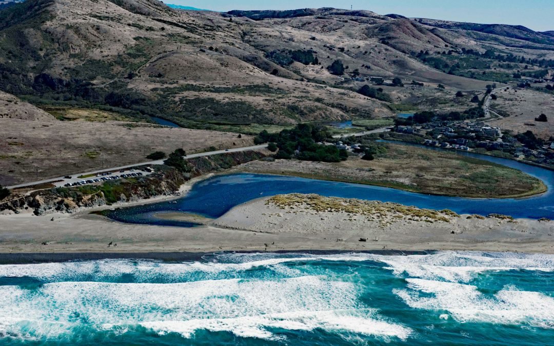
Listen to the article here https://coastview.org/wp-content/uploads/2026/03/SalmonCreek.mp3 Salmon Creek starts at an elevation of 570 feet (174 m) and flows generally southwest for 19 miles (31 km), draining a watershed of 22,487 acres (9,100 ha) between the Northern...
by CoastView | Jul 2, 2023 | 2026, British Columbia, Coastal Features, Historical, July 2026, Land Use, Natural History, Parks, Rivers, Shipwrecks
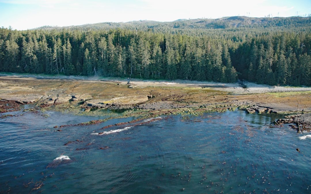
Listen to the article here https://coastview.org/wp-content/uploads/2026/03/MichiganCreek.mp3 Michigan Creek starts at an elevation of 1,400 feet (427 m) and flows generally south for 4 miles (6.4 km) through the Coast Mountains on Vancouver Island, entering the...
by CoastView | Jun 29, 2023 | 2026, Beaches, Biodiversity, California, Coastal Features, Historical, June 2026, Land Use, Natural History, Rivers, Shipwrecks
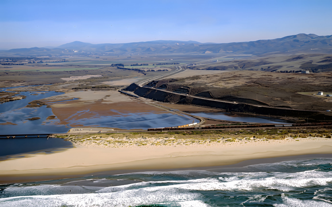
Listen to the article here https://coastview.org/wp-content/uploads/2026/03/SurfBeach.mp3 Surf Beach lies within Vandenberg Space Force Base, extending south-southwest roughly 4.5 miles (7.3 km) from the mouth of the Santa Ynez River estuary to Spring Canyon, about 31...

by CoastView | Jun 27, 2023 | 2026, Coastal Features, Developments, Embayments, Historical, June 2026, Oregon, Rivers, Shipwrecks
Listen to the article here https://coastview.org/wp-content/uploads/2026/02/MaryDHume.mp3 Mary D. Hume sank on November 13, 1985, on the south bank of the Rogue River during a restoration effort to convert her to a museum ship for the Curry County Historical Society;...