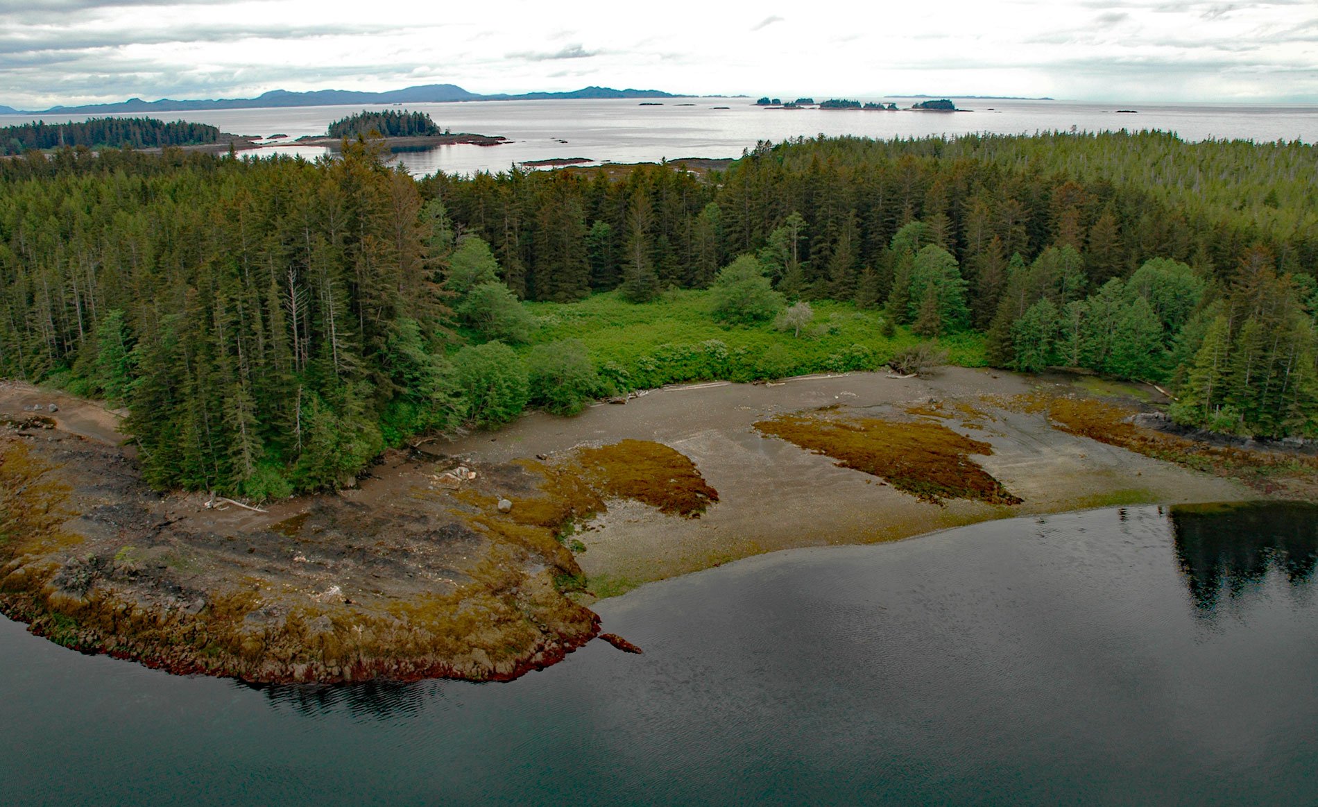
Tongass Island is the historical site of Fort Tongass located near the southern extent of the Alexander Archipelago in Southeast Alaska about 4.5 miles (7 km) north of the Canadian Border, bounded by Nakat Bay to the west and a channel called Port Tongass to the east, about 19 miles (31 km) northwest of Lax Kw’alaams, British Columbia and 54 miles (87 km) southeast of Ketchikan, Alaska. The Tlingit name for the island is ‘Kut-tuk-wah’. The name ‘Tongass’ is derived from Taantʼa Ḵwáan‘, the name of the Tlingit people that inhabited the island, and translates to ‘sea lion tribe’. The island is formed by metamorphosed sedimentary, volcanic, and intrusive rocks of the Taku terrane, characterized by andesite, rhyolite, and basalt with small amounts of limestone, marble, and conglomerate. Nakat Bay was first charted by Captain George Vancouver in 1793. The bay extends northeast for 5 miles (8 km) from Cape Fox and then continues north as Nakat Inlet for another 11 miles (18 km) between Peninsula Ridge to the west and Harbor Ridge to the east. The name ‘Nakat’ is derived from the Tlingit word ‘Nakatse’ meaning ‘fox’.
The Taantʼa Ḵwáan people belong to the Ganaxadi clan of the Raven moiety and inhabited villages at Cape Fox with about 100 residents and Tongass Island with about 200 residents. The Tongass Island village was on the eastern shore overlooking present-day Port Tongass. For several centuries, the Tlingit people engaged in an elaborate coastal trade system with neighboring tribes and with tribes as far south as Oregon. In the 1800s, the Russian-American Company established settlements at Sitka and Wrangell and began exerting influence over the indigenous populations through religion and trade. In 1867, the Alaska Purchase transferred the territory to the United States and the U.S. Army stationed a small garrison near the Dixon Entrance border with Canada. The purpose was to establish a military presence and serve as a customs port for travelers northbound to the Stikine River, which was one of the main routes of access to the Cassiar Gold Rush. A site for the fort was chosen on Tongass Island because of a readily accessible timber supply, a pasture for livestock, as well as abundant fish and game, even though the anchorage for sailing ships was poor. The fort housed Battery E of the 2nd U.S. artillery under the command of Captain Charles H. Pierce. Military correspondence during the occupation of Fort Tongass documented the struggle to clear a forest and construct and occupy a fortification in a temperate rainforest where annual rainfall can exceed 12 feet (3.5 m). There were also complications in attempting to merge diverse cultures, institute customs laws, collect taxes, regulate foreign commerce, and prevent the smuggling and illegal trade of guns and alcohol.
By 1870, the military decided that supplying multiple outposts along the Alaskan coast was too expensive. The forts at Kodiak, Wrangell, and Tongass Island were subsequently deactivated and the resources were concentrated on maintaining the base at Sitka. On October 7, 1870, the garrison departed Tongass Island but a customs official stayed on site for several years. The village population reached more than 700 in 1879 but then decreased, and by 1890, 50 people were living at the site. In 1899, the Seattle Post-Intelligencer sponsored an expedition of ‘leading Seattle citizens’ to the District of Alaska on the steamer City of Seattle. The expedition was meant to be a goodwill tour, with a mixture of business and pleasure, and the goal of investigating increased trade and investment in Alaska. On August 28, 1899, the ship stopped at the village on Tongass Island when the inhabitants were away fishing. Thinking the village was deserted, the ship’s crew went ashore and removed one of several totem or ‘crest’ poles as a souvenir. The totem had been carved in about the year 1790 to honor a Raven clan woman named Chief-of-All-Women who drowned in the Nass River while on a journey to visit an ailing sister. The expedition returned to Seattle and gave the totem to the Seattle City Council as a gift to the city, which subsequently displayed the pole in Pioneer Square. In 1938, an arsonist seriously damaged the totem, and it was removed and in 1940 replaced with a replica carved by the descendants of the carvers of the original totem. Read more here and here. Explore more of Tongass Island and Nakat Bay here:

