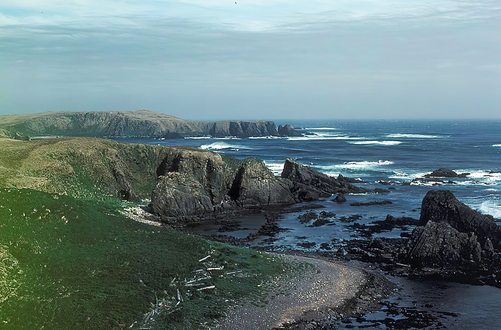
Makarius Bay is on the southeastern coast of Amchitka Island, the southernmost of the Rat Islands group in the Aleutian Islands of Southwest Alaska, bounded by the Bering Sea to the north and the Pacific Ocean to the south, about 2500 miles (4024 km) north-northwest of Honolulu and 182 miles (293 km) west-southwest of Adak, Alaska. Amchitka is an Aleut word, and the island was possibly sighted in 1741 by Commander Vitus Bering, who reputedly named it Saint Makarius. The Aleutian Islands are the emergent peaks of a submarine volcanic arc adjacent to the subduction zone between the North American and Pacific tectonic plates. Amchitka is volcanic in origin, although, there are no volcanic vents on the island, and an eruption has not occurred in the last 10,000 years. Most of the island has a thin, discontinuous veneer of unconsolidated sediments overlying volcanic bedrock. The western half of the island is mountainous and barren, underlain by rocks of the Chitka Point Formation consisting of flow breccias, basalt, and with dikes of porphyritic andesite. The eastern half of the island is a lowland plateau, with isolated ponds and gently rolling hills formed mostly by the Banjo Point Formation consisting of sandstone, conglomerate, and lapilli tuff of basaltic composition. The far-eastern part of the island, particularly the rocks forming Constantine Harbor are Amchitka Formation consisting of volcanic agglomerate, breccia, tuff, and andesitic pillow lava flows.
Archeological work in the Aleutians has consisted mainly of surveys and inventories conducted since the 1970s of prehistoric and historic sites no older than 1000 AD. Every island group in the Aleutians was occupied, although not every island. There are 41 known prehistoric and Russian colonial period Aleut settlement sites on Amchitka and most were fishing camps and small villages consisting of family groups. More than half of the sites are on the southeastern end of the island, between Constantine Harbor on the Bering Sea side and Makarius Bay on the Pacific side. Settlement sites almost always fall on low coasts and level ground for houses with access to abundant fresh water and a beach protected by kelp-covered reefs or islets that would aid in storm protection and kayak landing in stormy weather. In 1877, William H. Dall was one of the first scientists to investigate the settlement of the western Aleutians, and found that Amchitka was one of the more densely settled islands. Dall suggested that the Rat Islands were the western terminus of Paleo-Aleut migration from the Alaska Peninsula that began sometime before 500 BC; however, Russian scholars view the Aleutians as an extension of Asia, believe the Aleuts maintained intercontinental contacts throughout their history.
In June 1942, the Imperial Japanese forces occupied the western Aleutian Islands of Attu and Kiska, and they hoped to occupy Amchitka but ultimately rejected the island for military purposes. In January 1943, American forces conducted an unopposed amphibious landing on Amchitka in Constantine Harbor to establish an advance base of operation during the Aleutian Campaign of World War II. The base consisted of several aircraft runways, aircraft hangars, storage and harbor facilities, communication and power systems, defensive artillery structures heavily concentrated in the eastern low-lying region around Constantine Harbor, and hundreds of buildings to support roughly 15,000 personnel. In December 1949, the Amchitka Air Force base was closed and the facilities abandoned. In 1950, the Department of Defense considered the island for testing nuclear weapons. The first test, named Long Shot, was a nuclear detection experiment detonated in October 1965 at a depth of 2,297 feet (700 m) below ground surface, with a yield of 80 kilotons. The second test, named Milrow, was a high-yield weapons calibration test detonated in October 1969 at a depth of 4,003 feet (1220 m). The third test, known as Cannikin, was detonated in November 1971 at a depth of 5,873 feet (1790 m) below ground surface, with a yield of less than 5 megatons. Cannikin remains the largest underground nuclear test in U.S. history. See a short video on that here. Read more here and here. Explore more of Makarius Bay and Amchitka Island here:

