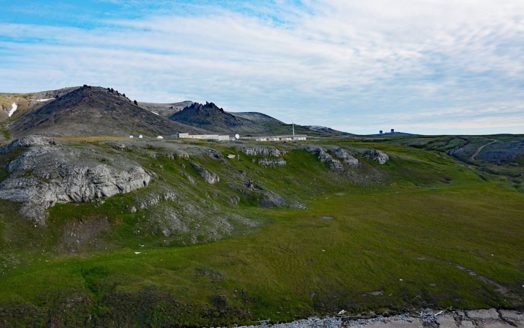
by CoastView | Aug 21, 2024 | 2024, Alaska, Chemical Pollution, Communities, Developments, Headlands, Historical, Land Use
Tin City is a historical mining community on Cape Prince of Wales, located at the mouth of Cape Creek and adjacent to Cape Mountain on the Seward Peninsula, about 103 miles (166 km) northwest of Nome and 6 miles (10 km) southeast of Wales, Alaska. Cape Prince of Wales...
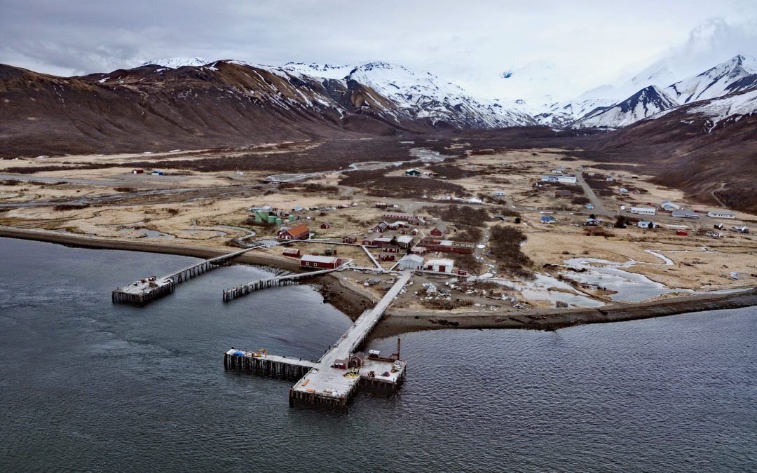
by CoastView | Aug 20, 2024 | 2024, Alaska, Biodiversity, Canneries, Communities, Embayments, Historical, Islands
False Pass is a small community on the east coast of Unimak Island, at the northern end of Isanotski Strait, about 142 miles (229 km) northeast of Dutch Harbor and 38 miles (61 km) southwest of Cold Bay, Alaska. Isanotski Strait was a name historically used for the...

by CoastView | Aug 19, 2024 | 2024, British Columbia, Coastal Features, Developments, Headlands, Historical, Islands, Land Use, Lighthouses, Parks
Portlock Point is part of a larger peninsula that forms the eastern extremity of Prevost Island and is part of the Gulf Islands National Park Reserve, about 33 miles (53 km) south-southwest of Vancouver and 13 miles (21 km) north-northeast of Sidney, British Columbia....

by CoastView | Aug 18, 2024 | 2024, Alaska, Coastal Features, Historical, Land Use, Natural History, Parks, Rivers, Shelter Cabins
Mount Susitna is a prominent mountain and landmark in northern Cook Inlet, with an elevation of 4,396 feet (1,340 m) rising from the Susitna Flats on the west bank of the Susitna River, about 65 miles (105 km) north-northeast of Kenai and 33 miles (53 km) northwest of...

by CoastView | Aug 17, 2024 | 2024, Alaska, Climate Change, Coastal Features, Communities, Embayments, Historical, Islands
Mueller Cove provides a protected landing for the village of Nikolski at the head of Nikolski Bay, on the northern shore and at the southwestern end of Umnak Island in the eastern Aleutian Islands, about 338 miles (544 km) east-northeast of Adak and 116 miles (187 km)...
