
by CoastView | Apr 25, 2024 | 2024, Alaska, Beaches, Coastal Features, Headlands, Historical, Islands, Land Use, Natural History, Shipwrecks
Cape Tanak is a headland on the north coast of Umnak Island in the Eastern Aleutian Islands between Cape Idak to the east and Ashishik Point to the west, about 64 miles (103 km) southwest of Dutch Harbor and 56 miles (90 km) northeast of Nikolski, Alaska. The name of...
by CoastView | Apr 24, 2024 | 2024, Alaska, Climate Change, Coastal Features, Glaciers, Land Use, Natural History
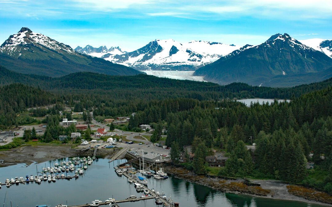
Mendenhall Glacier starts from an ice divide in the Juneau Icefield at an elevation of 4,300 feet (1,311 m) and flows generally southwest for 15 miles (24 km) to a proglacial lake between McGinnis Mountain to the west and Bullard Mountain to the east, about 11 miles...
by CoastView | Apr 23, 2024 | 2024, Alaska, Beaches, Biodiversity, Coastal Features, Developments, Land Use, Natural History, Rivers
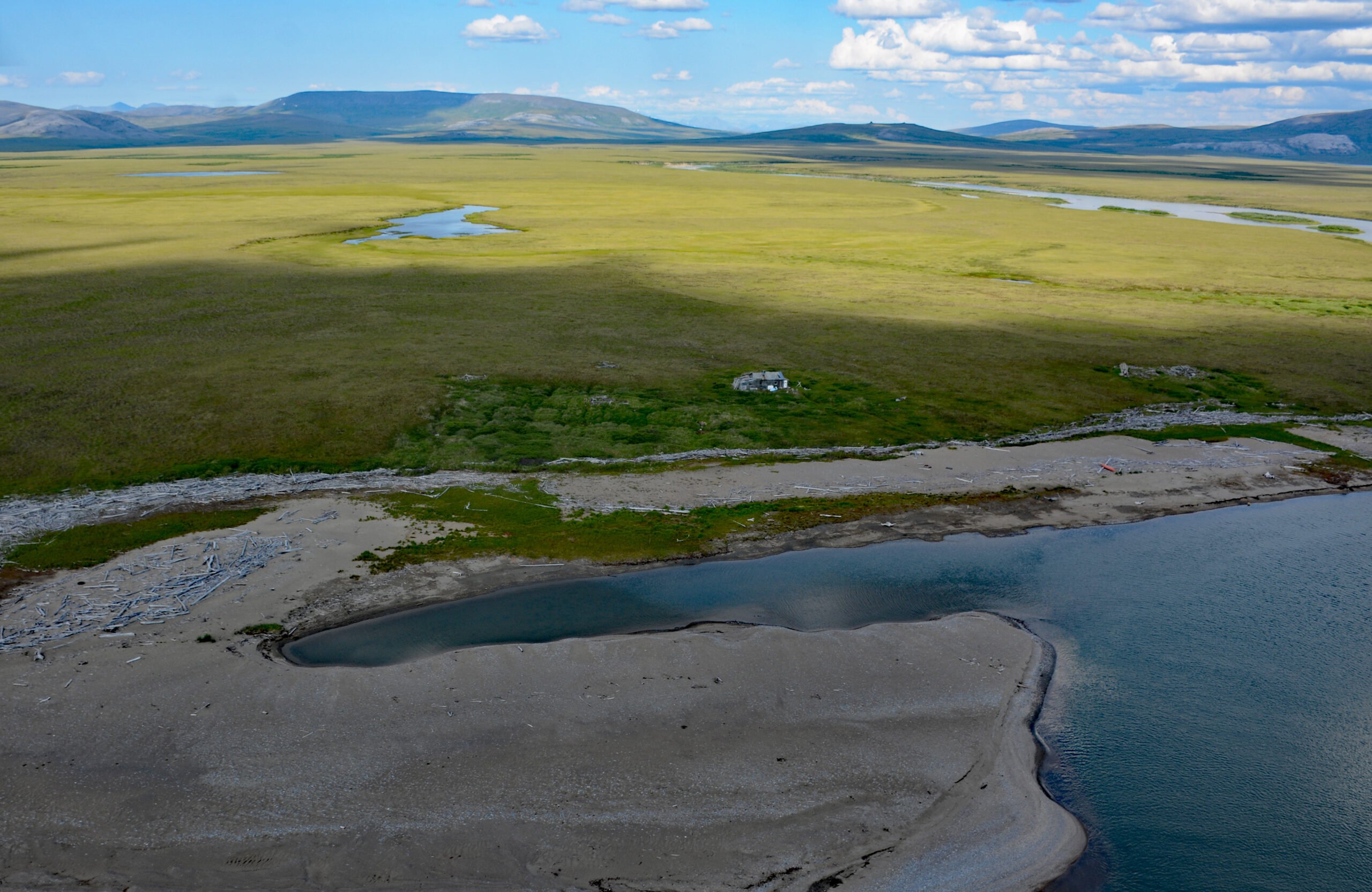
Sinuk River starts from a series of deglaciated cirques at an elevation of 1,890 feet (576 m) on the west flank of Tigaraha Mountain on the Seward Peninsula, and flows generally southwest for 44 miles (71 km), draining a watershed of 190,572 acres (77,122 ha), to the...
by CoastView | Apr 22, 2024 | 2024, Alaska, Coastal Features, Developments, Headlands, Islands, Land Use, Lighthouses, Natural History, Parks
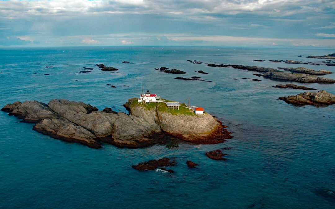
Cape Spencer is a prominent headland in Glacier Bay National Park and Preserve marking the northern entrance to Cross Sound adjacent to an area with numerous offshore islets, rocks, and islands, one of which, near the entrance to Dicks Arm, is the site of a historic...
by CoastView | Apr 21, 2024 | 2024, Alaska, Biodiversity, Coastal Features, Communities, Embayments, Historical, Land Use, Natural History, Rivers
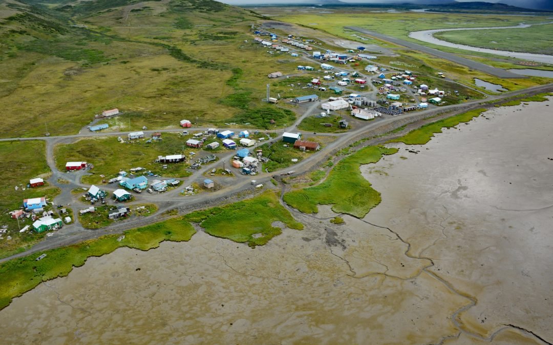
Goodnews Bay is a Central Yup’ik village at the mouth of the Goodnews River where it enters Goodnews Bay, about 117 miles (189 km) south of Bethel and 12 miles (19 km) northeast of Platinum, Alaska. The embayment is about 30 miles (48 km) northeast of Cape...
by CoastView | Apr 19, 2024 | 2024, Alaska, Coastal Features, Headlands, Islands, Land Use, Lighthouses, Natural History
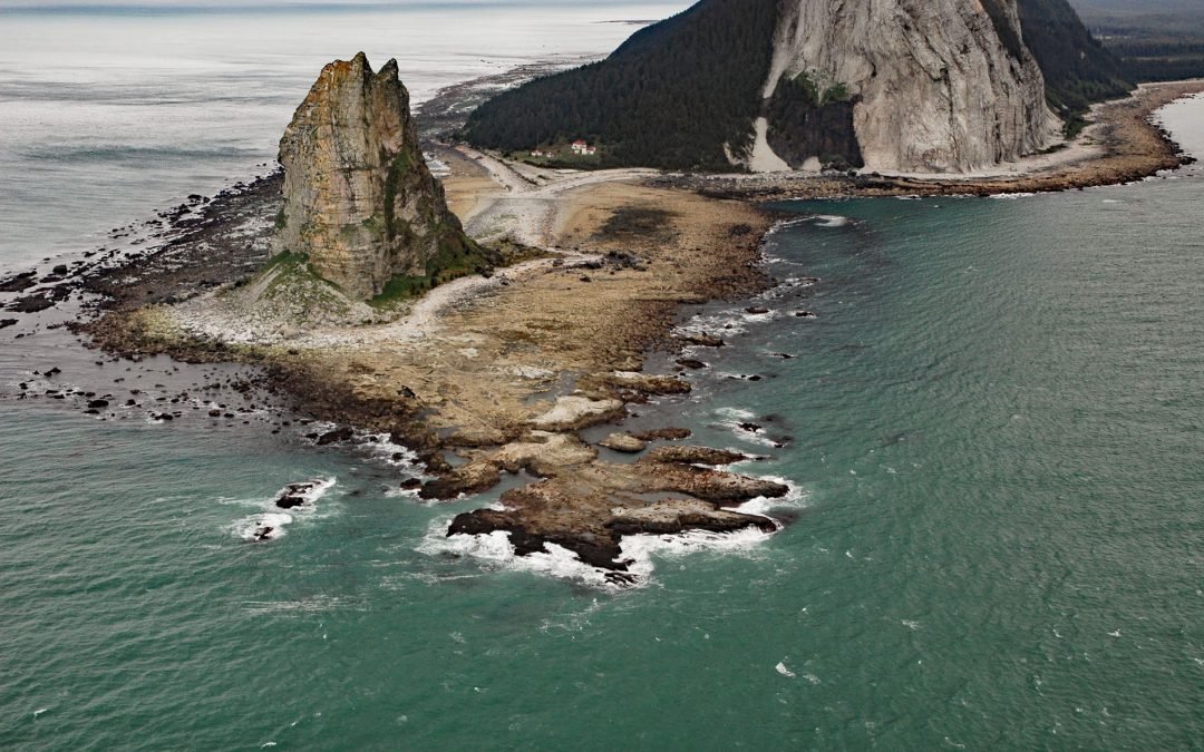
Cape Saint Elias comprises a prominent headland and Pinnacle Rock, and is the site of a historic lighthouse at the southwest end of Kayak Island, 172 miles (277 km) west of Yakutat and 62 miles (100 km) southeast of Cordova, Alaska. The headland was named by Vitus...
