
by CoastView | Nov 23, 2025 | 2025, California, Embayments, November 2025, Parks
Listen to the article here https://coastview.org/wp-content/uploads/2025/11/AbbottsLagoon.mp3 Abbotts Lagoon is a two-stage lagoon located on the northwestern coast of Point Reyes National Seashore, approximately 9 miles (14.5 km) south-southeast of Tomales Point and...

by CoastView | Nov 17, 2025 | 2025, Beaches, California, November 2025, Rivers
Listen to the article here https://coastview.org/wp-content/uploads/2025/07/Bean-Hollow.mp3 Arroyo de Los Frijoles and Pebble Beach are in Bean Hollow State Park, located 17.5 miles (28.2 km) south of Half Moon Bay and 3 miles (4.8 km) south of Pescadero, California....
by CoastView | Nov 10, 2025 | 2025, California, Headlands, November 2025, Parks
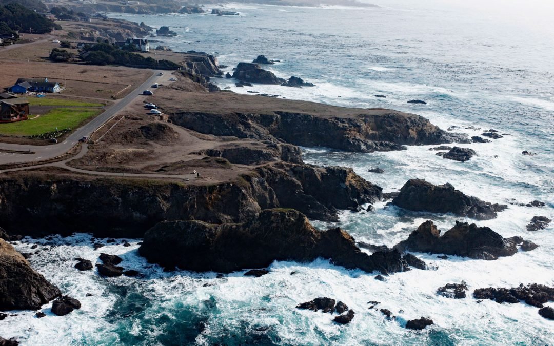
Listen to the article here https://coastview.org/wp-content/uploads/2025/07/Pomo-Bluffs.mp3 Pomo Bluffs is a park located on the ocean bluffs at Todd’s Point, overlooking Noyo Bay, approximately 1 mile (1.6 km) south of Fort Bragg, in the community of Noyo,...
by CoastView | Nov 4, 2025 | 2025, Biodiversity, California, Coastal Features, Communities, Developments, Historical, Land Use, Natural History, November 2025
Listen to the article here https://coastview.org/wp-content/uploads/2025/07/Kibesillah.mp3 Kibesillah is the site of a historical lumber-loading chute and for a short time was one of the most important communities on the Mendocino Coast, about 10 miles (16 km) north...

by CoastView | Oct 28, 2025 | 2025, Beaches, Biodiversity, California, Coastal Features, Developments, Embayments, Historical, Land Use, Natural History, October 2025, Rivers
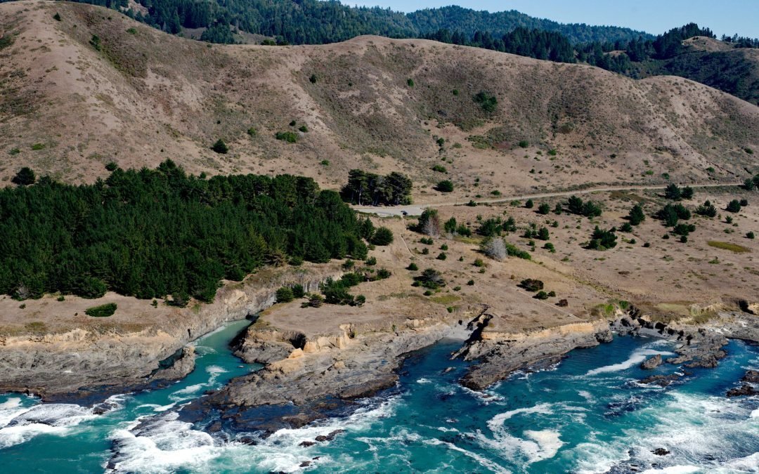
Listen to the article here https://coastview.org/wp-content/uploads/2025/07/Cottoneva-Creek.mp3 Cottoneva Creek originates at an elevation of approximately 1,300 feet (400 m) in the Coast Range and flows generally south-southwest for 7 miles (11 km) to Rockport Bay,...

by CoastView | Oct 21, 2025 | 2025, Beaches, Best of 2024, Biodiversity, California, Coastal Features, Communities, Developments, Historical, Land Use, Lighthouses, Natural History, October 2025, Parks, Rivers
Listen to the article here https://coastview.org/wp-content/uploads/2025/07/Border-Field.mp3 Border Field State Park is part of the Tijuana River National Estuarine Research Reserve, adjacent to the urban neighborhood of Playas de Tijuana, Mexico, located about 12...