by CoastView | Jun 4, 2026 | 2026, Alaska, Biodiversity, Coastal Features, Embayments, June 2026, Kachemak, Land Use, Natural History, Parks, Rivers
Listen to the article here https://coastview.org/wp-content/uploads/2026/02/ChinaPootCreek.mp3 China Poot Creek starts at an elevation of about 3,500 feet (1,067 m) on the western flank of the Kenai Mountains and flows for 5.6 miles (9 km) to China Poot Lake, also...
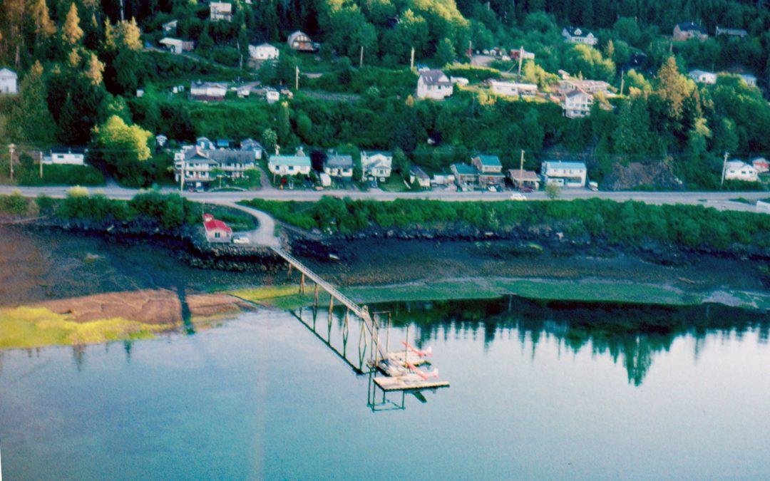
by CoastView | Jun 3, 2026 | 2026, British Columbia, Coastal Features, Communities, Developments, Embayments, Historical, Islands, June 2026, Land Use, Natural History
Listen to the article here https://coastview.org/wp-content/uploads/2026/02/QueenCharlotte.mp3 The community of Daajing Giids, historically known as Queen Charlotte, is situated on the northern shore of Skidegate Inlet on Graham Island in the Haida Gwaii archipelago,...
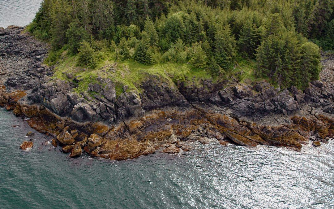
by CoastView | Jun 1, 2026 | 2026, Alaska, Biodiversity, Coastal Features, Headlands, Historical, June 2026, Natural History, Shipwrecks
Listen to the article here https://coastview.org/wp-content/uploads/2026/02/PointLena.mp3 Point Lena is located on Favorite Channel, between Point Stephens to the north and Point Louisa to the south, and is the site of a notorious historical shipwreck and the...
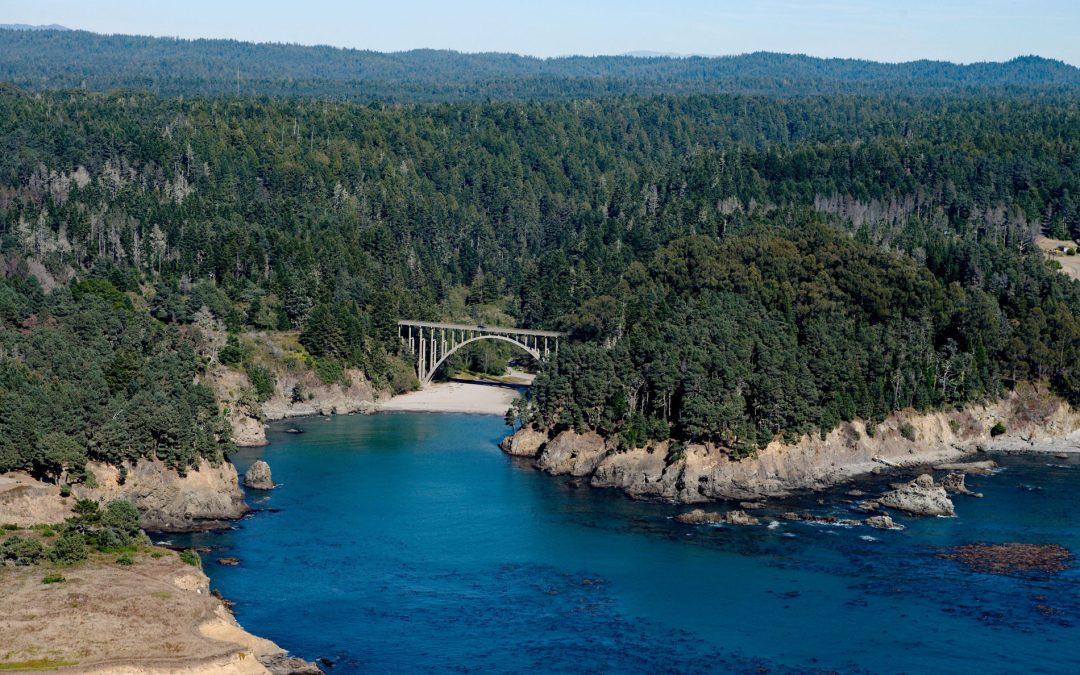
by CoastView | May 31, 2026 | 2026, Beaches, California, Coastal Features, Embayments, Historical, June 2026, Land Use, Natural History, Parks, Rivers
Listen to the article here https://coastview.org/wp-content/uploads/2026/02/RussianGulch.mp3 Russian Gulch is a river that starts at an elevation of about 800 feet (244 m) on the northwestern flank of Hi Chute Ridge in the California Coast Ranges and flows generally...
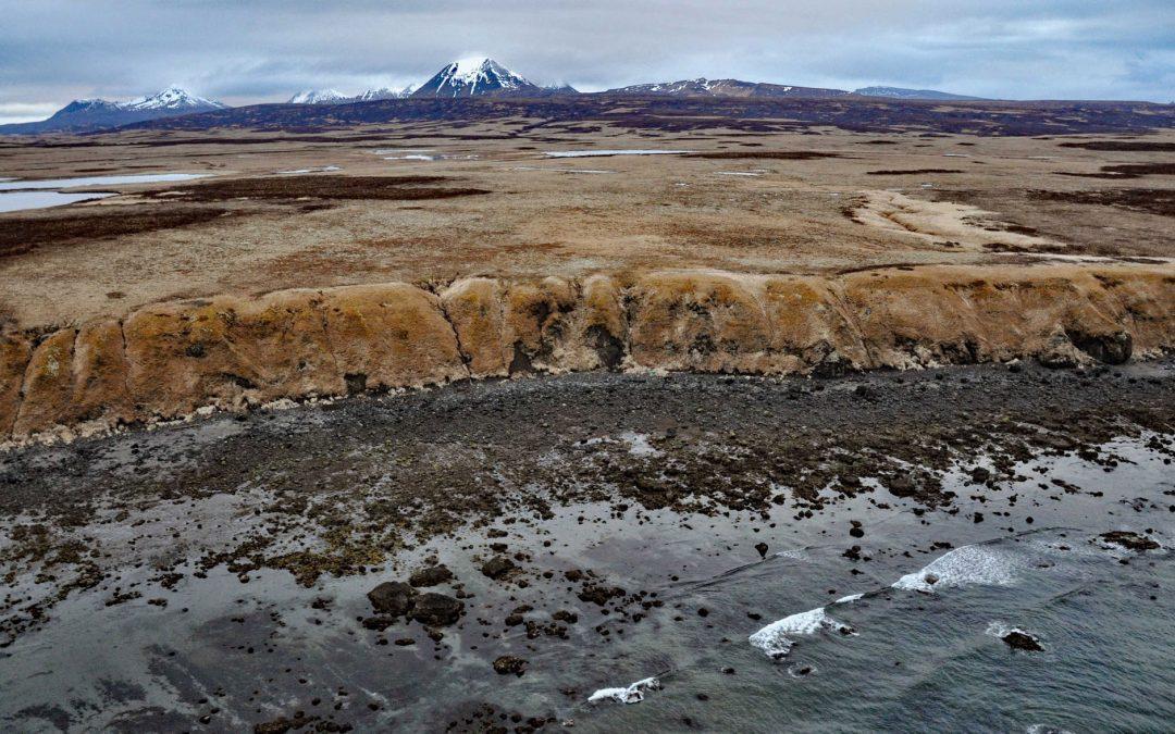
by CoastView | May 30, 2026 | 2026, Alaska, Coastal Features, Islands, Land Use, May 2026, Natural History, Parks
Listen to the article here https://coastview.org/wp-content/uploads/2026/02/UngaIsland.mp3 Unga Island is part of the Shumagin Islands, situated south of the Alaska Peninsula in the Gulf of Alaska, about 64 miles (103 km) north-east of King Cove and 11 miles (18 km)...

by CoastView | May 28, 2026 | 2026, Alaska, Biodiversity, Coastal Features, Embayments, Historical, Kachemak, Land Use, May 2026, Natural History
Listen to the article here https://coastview.org/wp-content/uploads/2026/02/NubblePoint.mp3 Nubble Point is a bedrock outcrop connected to the Kenai Peninsula mainland by MacDonald Spit, which forms and separates Kasitsna Bay from Kachemak Bay, about 11 miles (18 km)...