
by CoastView | Apr 10, 2025 | 2025, Alaska, Biodiversity, Coastal Features, Developments, Embayments, Historical, Land Use, Mines, Natural History
Listen to the article here https://coastview.org/wp-content/uploads/2025/04/Square-Rock.mp3 Square Rock is a marble pillar formed from an eroding sea stack, about 200 feet (60 m) offshore from the eastern end of Bluff Cliffs on the south coast of the Seward Peninsula...

by CoastView | Apr 8, 2025 | 2025, Alaska, Biodiversity, Canneries, Climate Change, Coastal Features, Developments, Embayments, Historical, Islands, Land Use, Natural History
Listen to the article here https://coastview.org/wp-content/uploads/2025/04/Uganik-Fish.mp3 Uganik Fisheries is a historic salmon cannery on the north shore of Northeast Arm in Uganik Bay about 1.3 miles (2 km) southeast of Starr Point on the northwestern coast of...
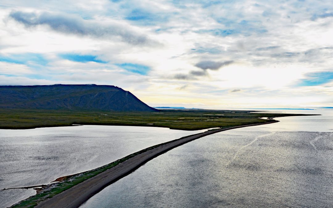
by CoastView | Apr 7, 2025 | 2025, Alaska, Beaches, Biodiversity, Chemical Pollution, Coastal Features, Communities, Developments, Historical, Islands, Land Use
Listen to the article here https://coastview.org/wp-content/uploads/2025/04/Northeast-Cape.mp3 Northeast Cape is a headland at the far eastern end of Saint Lawrence Island, formed by the Kinipaghulghat Mountains, between Cape Kulowye to the west and Cape Seevooka to...
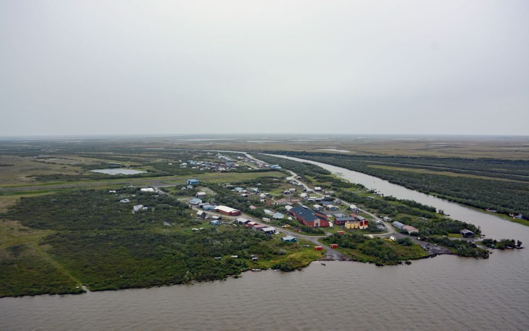
by CoastView | Apr 3, 2025 | 2025, Alaska, Biodiversity, Climate Change, Coastal Features, Communities, Developments, Historical, Land Use, Natural History, Rivers
Listen to the article here https://coastview.org/wp-content/uploads/2025/03/Napakiak.mp3 Napakiak is a village located on an island situated between the Kuskokwim River to the south and Johnson Slough to the north, about 167 miles (269 km) southeast of Emmonak and 10...
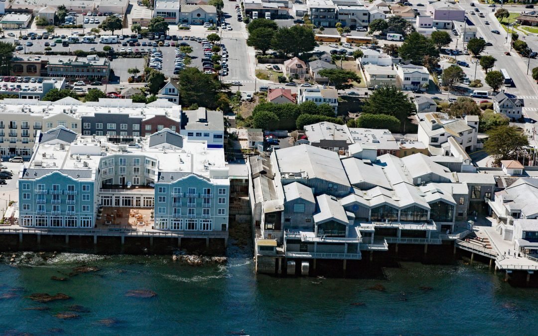
by CoastView | Apr 2, 2025 | 2025, Biodiversity, California, Coastal Features, Communities, Developments, Embayments, Historical, Land Use, Natural History, Parks
Listen to the article here https://coastview.org/wp-content/uploads/2025/03/Pacific-Labs.mp3 Pacific Biological Laboratories is a small, unpainted, two-story wood-frame building toward the northwest end of Cannery Row that served as a biological supply company...

by CoastView | Mar 31, 2025 | 2025, Alaska, Coastal Features, Developments, Headlands, Land Use, Parks
Listen to the article here https://coastview.org/wp-content/uploads/2025/03/Cape-Romanzof.mp3 Cape Romanzof is a massive headland at the western end of the Askinuk Mountains on the Bering Sea coast of Southwest Alaska in the Yukon-Kuskokwim Delta between Kokechik and...
