by CoastView | May 6, 2026 | 2026, Biodiversity, British Columbia, Communities, Developments, Embayments, Land Use, May 2026, Natural History, Rivers
Listen to the article here https://coastview.org/wp-content/uploads/2026/01/PortEdward.mp3 Port Edward is a community on the eastern shore of Porpoise Harbor on the Tsimpsean Peninsula near the mouth of the Skeena River, about 98 miles (158 km) southeast of Ketchikan...
by CoastView | May 4, 2026 | 2026, Alaska, Biodiversity, Coastal Features, Communities, Embayments, Islands, Land Use, May 2026, Natural History
Listen to the article here https://coastview.org/wp-content/uploads/2026/01/WhalePass.mp3 Whale Passage is a waterway about 10 miles (16 km) long situated between Thorne Island to the east and Prince of Wales Island to the west, roughly 40 miles (65 km) southwest of...

by CoastView | May 1, 2026 | 2026, Alaska, Embayments, Kachemak, May 2026, Natural History, Parks, Rivers
Listen to the article here https://coastview.org/wp-content/uploads/2026/01/McKeonFlats.mp3 McKeon Flats is formed by the Wosnesenski River, which flows into Neptune Bay on the south shore of Kachemak Bay on the Kenai Peninsula, about 14 miles (23 km) north-east of...
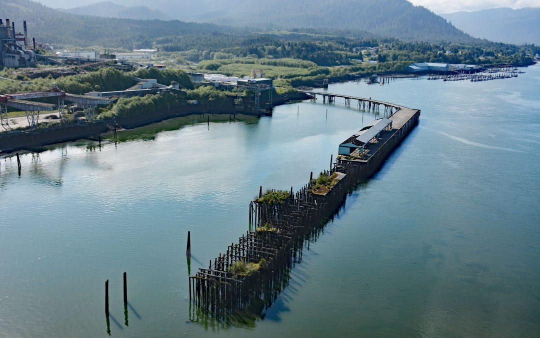
by CoastView | Apr 28, 2026 | 2026, April 2026, British Columbia, Communities, Developments, Embayments, Historical, Land Use, Natural History
Listen to the article here https://coastview.org/wp-content/uploads/2026/01/LaxKwalaams.mp3 Lax Kw’alaams is a Tsimshian community on Port Simpson, an embayment on the eastern coast of Chatham Sound between Flewin Point to the north and Finlayson Island to the...

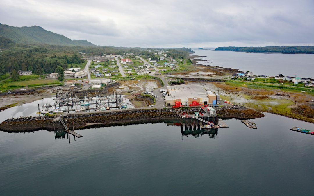
by CoastView | Apr 24, 2026 | 2026, Alaska, April 2026, Embayments, Historical, Land Use, Natural History, Shelter Cabins
Listen to the article here https://coastview.org/wp-content/uploads/2026/01/SafetySound.mp3 Safety Sound is a lagoon along the Nome-Council Highway, formed by barrier beaches up to 14 feet (4.2 m) high that extend for 15 miles (24 km) along the north coast of Norton...

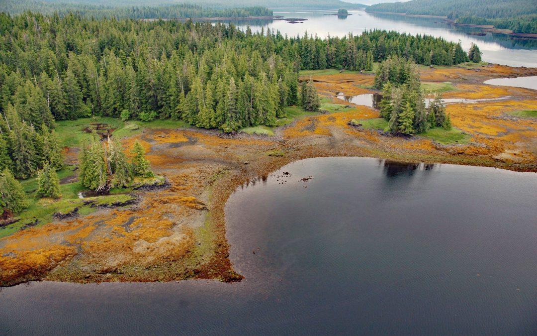
by CoastView | Apr 22, 2026 | 2026, Alaska, April 2026, Biodiversity, Coastal Features, Embayments, Kachemak, Land Use, Natural History
Listen to the article here https://coastview.org/wp-content/uploads/2026/01/BelugaSlough.mp3 Beluga Slough is formed by Bishops Beach and is the tidal estuary of a historical stream called Palmer Creek that drained a watershed on the southern flank of Diamond Ridge on...