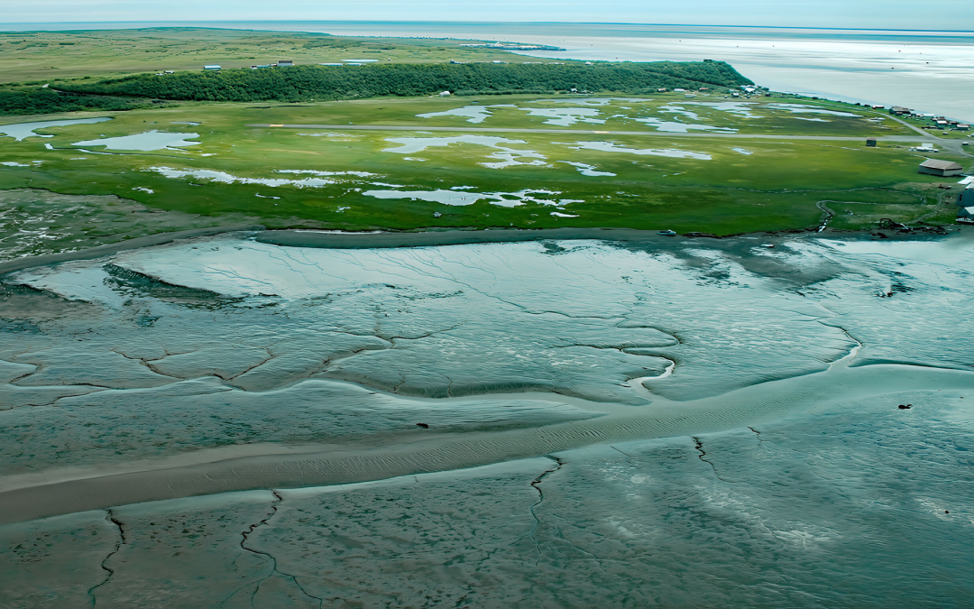
by CoastView | Jul 6, 2026 | 2026, Alaska, Biodiversity, Canneries, Communities, Embayments, July 2026, Land Use, Natural History, Rivers
Listen to the article here https://coastview.org/wp-content/uploads/2026/03/ClarksPoint.mp3 Clark’s Point is a historic community and former salmon-cannery site on the eastern shore of Nushagak Bay, at the mouth of Clark Slough, about 57 miles (92 km)...

by CoastView | Jul 5, 2026 | 2026, Alaska, Climate Change, Coastal Features, Embayments, Glaciers, July 2026, Natural History, Parks, Rivers
Listen to the article here https://coastview.org/wp-content/uploads/2026/03/NorthDawesGlacier.mp3 North Dawes Glacier originates in the Stikine Icefield at roughly 5,200 feet (1,585 m) on the western flank of Sheppard Peak and flows southwest for 15 miles (24 km) to a...
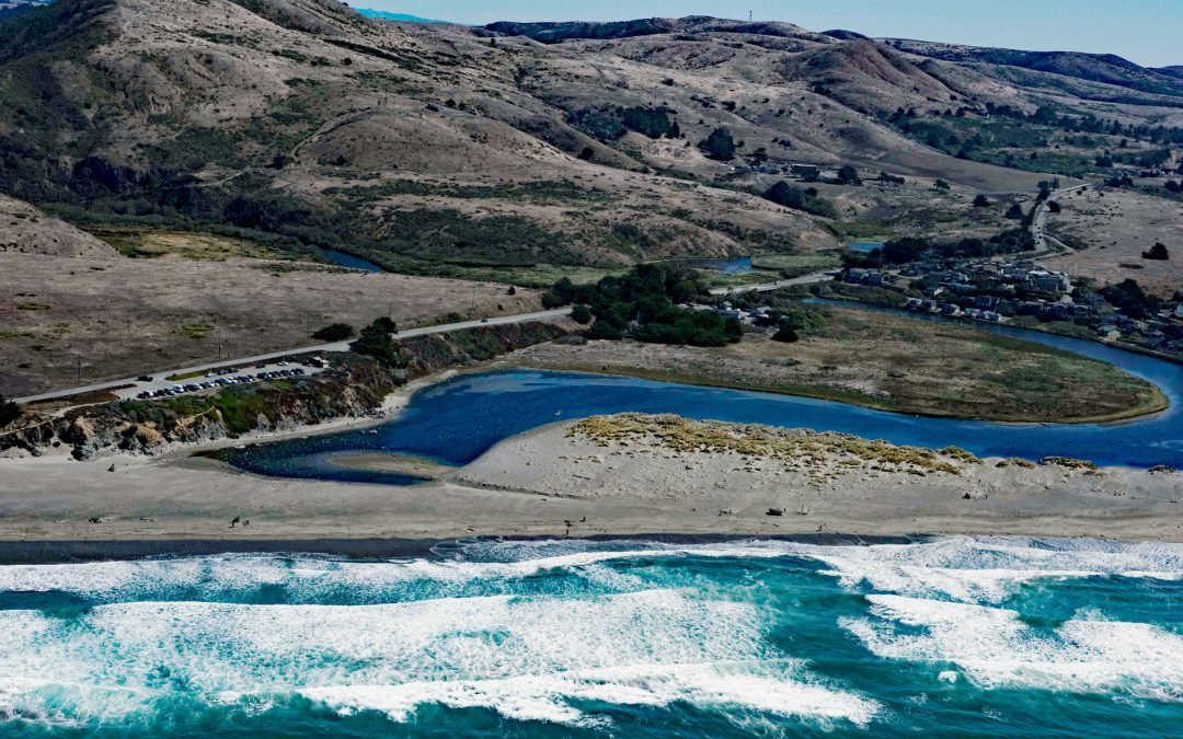
by CoastView | Jul 4, 2026 | 2026, Beaches, Biodiversity, California, Communities, July 2026, Land Use, Natural History, Parks, Rivers
Listen to the article here https://coastview.org/wp-content/uploads/2026/03/SalmonCreek.mp3 Salmon Creek starts at an elevation of 570 feet (174 m) and flows generally southwest for 19 miles (31 km), draining a watershed of 22,487 acres (9,100 ha) between the Northern...
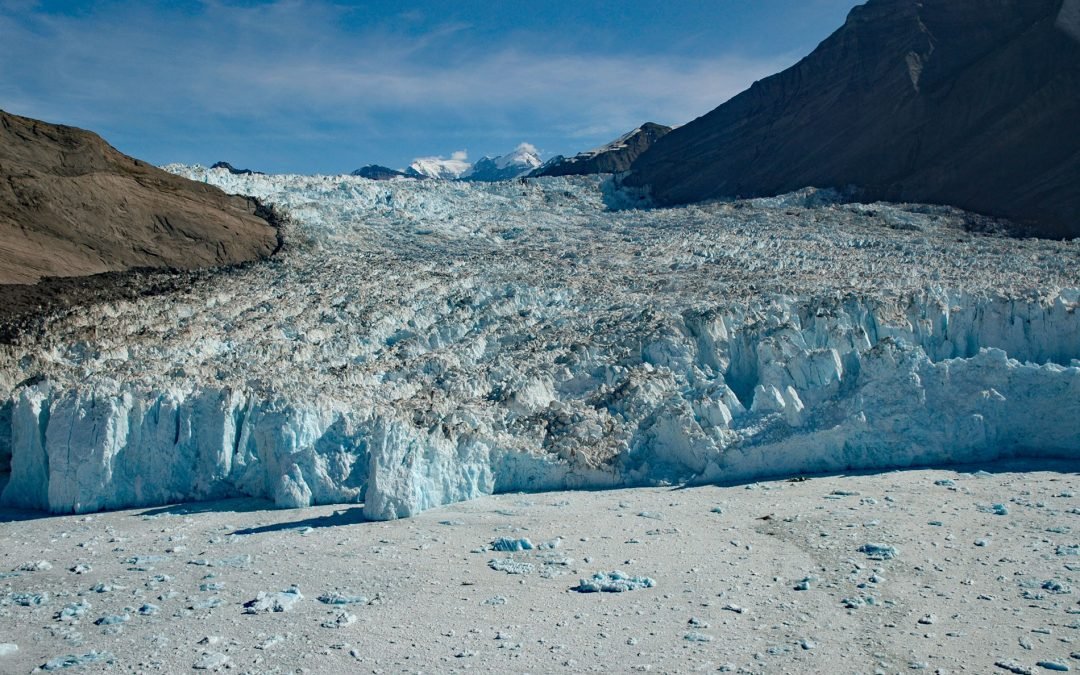
by CoastView | Jul 3, 2026 | 2026, Alaska, Climate Change, Coastal Features, Embayments, Glaciers, July 2026, Land Use, Natural History, Parks
Listen to the article here https://coastview.org/wp-content/uploads/2026/03/YahtseGlacier.mp3 Yahtse Glacier flows to a tidewater terminus in Icy Bay between Guyot Hills to the west and Karr Hills to the east, about 152 miles (245 km) east-southeast of Cordova and 71...
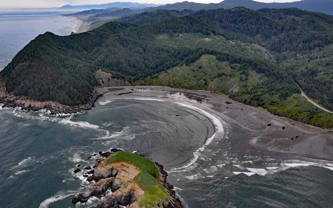
by CoastView | Jul 2, 2026 | 2026, Beaches, Coastal Features, Embayments, Headlands, July 2026, Land Use, Natural History, Oregon
Listen to the article here https://coastview.org/wp-content/uploads/2026/03/HuntersCove.mp3 Hunters Cove lies on the south side of Cape Sebastian, a prominent headland in Cape Sebastian State Scenic Corridor, about 20 miles (32 km) north-northwest of Brookings and 6.3...
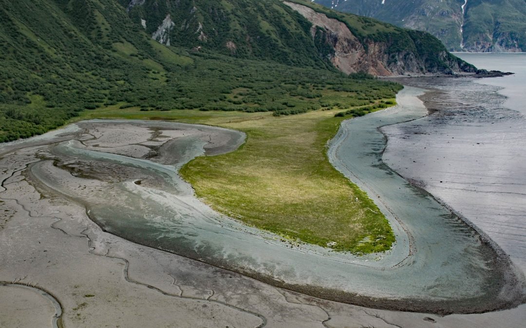
by CoastView | Jul 1, 2026 | 2026, Alaska, Coastal Features, Embayments, Headlands, July 2026, Land Use, Natural History
Listen to the article here https://coastview.org/wp-content/uploads/2026/03/DiamondPoint.mp3 Diamond Point is a prominent headland situated between Iliamna Bay to the north and Cottonwood Bay to the south, about 126 miles (203 km) northeast of King Salmon and 75 miles...