by CoastView | May 29, 2026 | 2026, Developments, Headlands, Historical, Land Use, May 2026, Mines, Natural History, Parks, Washington
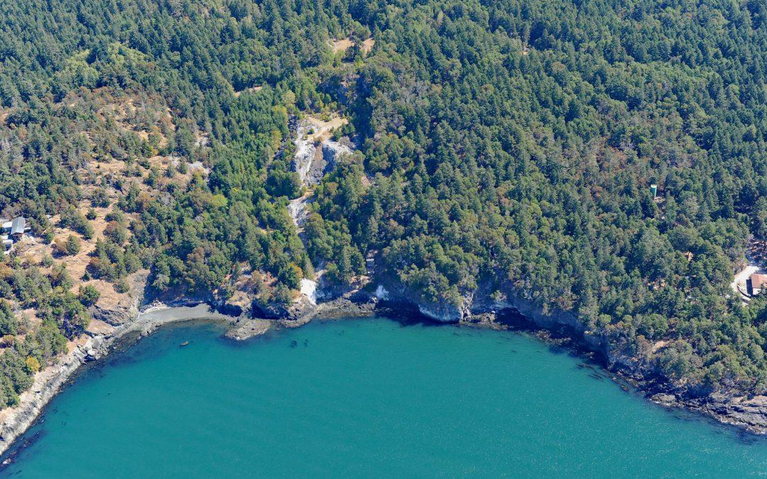
Listen to the article here https://coastview.org/wp-content/uploads/2026/02/LimeKilnPoint.mp3 Lime Kiln Point is a 42-acre (17 ha) state park and the site of a historic limestone quarry and kiln on the western shore of San Juan Island, about 6 miles (10 km) south of...
by CoastView | May 24, 2026 | 2026, Biodiversity, California, Coastal Features, Developments, Historical, Land Use, Lighthouses, May 2026, Natural History, Parks
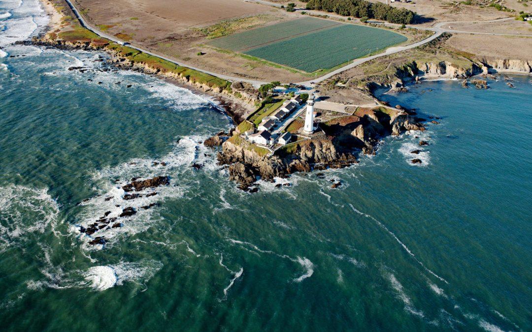
Listen to the article here https://coastview.org/wp-content/uploads/2026/02/PigeonPoint.mp3 Pigeon Point is a prominent headland and historic lighthouse site between Bolsa Point to the north and Franklin Point to the south, roughly 25 miles (40 km) north-west of Santa...
by CoastView | May 23, 2026 | 2026, Alaska, Coastal Features, Glaciers, Land Use, May 2026, Natural History, Parks
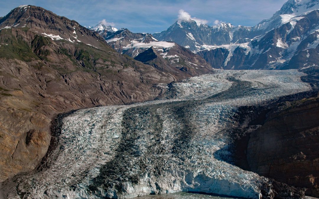
Listen to the article here https://coastview.org/wp-content/uploads/2026/02/TyndallGlacier.mp3 Tyndall Glacier flows generally south-southwest for 13 miles (21 km) to the head of Taan Fjord in Icy Bay, about 160 miles (258 km) east-southeast of Cordova and 68 miles...

by CoastView | May 22, 2026 | 2026, Biodiversity, Coastal Features, Embayments, Land Use, May 2026, Natural History, Oregon, Parks
Listen to the article here https://coastview.org/wp-content/uploads/2026/02/SouthSlough.mp3 South Slough is a tidal embayment designated as a National Estuarine Research Reserve that extends six miles (10 km) south from Coos Bay, an estuary of the Coos River, about 13...

by CoastView | May 7, 2026 | 2026, Alaska, Coastal Features, Embayments, Kachemak, Land Use, May 2026, Natural History, Parks, Waterfalls
Listen to the article here https://coastview.org/wp-content/uploads/2026/01/TutkaBay.mp3 Tutka Bay is a deglaciated fjord extending 8.5 miles (14 km) from Eldred Passage to the estuary of an unnamed river in Kachemak Bay State Park, about 18 miles (29 km) south-east...

by CoastView | May 1, 2026 | 2026, Alaska, Embayments, Kachemak, May 2026, Natural History, Parks, Rivers
Listen to the article here https://coastview.org/wp-content/uploads/2026/01/McKeonFlats.mp3 McKeon Flats is formed by the Wosnesenski River, which flows into Neptune Bay on the south shore of Kachemak Bay on the Kenai Peninsula, about 14 miles (23 km) north-east of...
