
by CoastView | Jul 26, 2025 | 2025, Alaska, Biodiversity, Climate Change, Coastal Features, Embayments, Historical, Kachemak, Natural History, Rivers
Listen to the article here https://coastview.org/wp-content/uploads/2025/06/Travers-Creek.mp3 Travers Creek flows generally west-southwest to the north shore of Kachemak Bay, approximately 3.5 miles (5.5 km) south of Anchor Point and 12 miles (19 km) northwest of...
by CoastView | Jul 24, 2025 | 2025, Alaska, Coastal Features, Developments, Historical, Land Use, Mines, Rivers
Listen to the article here https://coastview.org/wp-content/uploads/2025/06/Annex-Creek.mp3 Annex Creek flows southeast for 5 miles (8 km) through the Annex Lakes to Taku Inlet, about 0.35 miles (0.6 km) southwest of the Annex Creek hydroelectric power facility and 12...
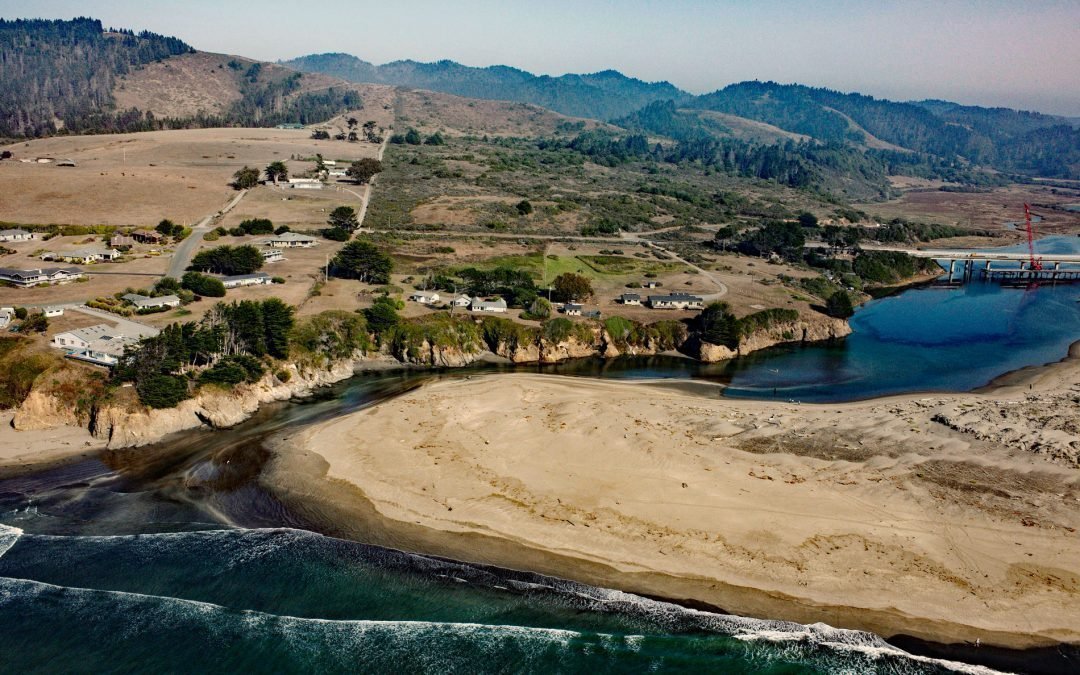
by CoastView | Jul 22, 2025 | 2025, Biodiversity, California, Coastal Features, Historical, Land Use, Natural History, Parks, Rivers
Listen to the article here https://coastview.org/wp-content/uploads/2025/06/Ten-MIle.mp3 The Ten Mile River flows southwest for 7 miles (11 km) to the Pacific Ocean at the northern border of MacKerricher State Park, about 9 miles (15 km) north-northeast of the Noyo...

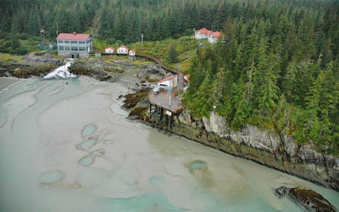
by CoastView | Jul 21, 2025 | 2025, Alaska, Biodiversity, Coastal Features, Embayments, Historical, Land Use, Natural History, Rivers, Waterfalls
Listen to the article here https://coastview.org/wp-content/uploads/2025/05/Cascade-Bay.mp3 Cascade Falls descends to Cascade Bay, an estuary extending 1.5 miles (2.4 km) northwest from Eaglek Bay in northern Prince William Sound, about 52 miles (84 km) west-southwest...

by CoastView | Jul 18, 2025 | 2025, British Columbia, Coastal Features, Communities, Embayments, Historical, Land Use, Natural History, Rivers
Listen to the article here https://coastview.org/wp-content/uploads/2025/05/Oona-River-1.mp3 Oona River is a community situated at the mouth of the namesake river that drains a watershed on the southeastern shore of Porcher Island, approximately 25 miles (40 km) south...
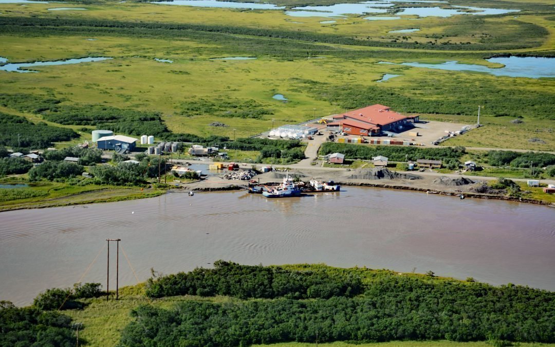
by CoastView | Jul 17, 2025 | 2025, Alaska, Biodiversity, Coastal Features, Communities, Historical, Land Use, Natural History, Rivers
Listen to the article here https://coastview.org/wp-content/uploads/2025/05/Alakanuk.mp3 Alakanuk is a Yup’ik community located at the eastern entrance of Alakanuk Pass, a major distributary channel of the Yukon River, approximately 162 miles (261 km) northwest...